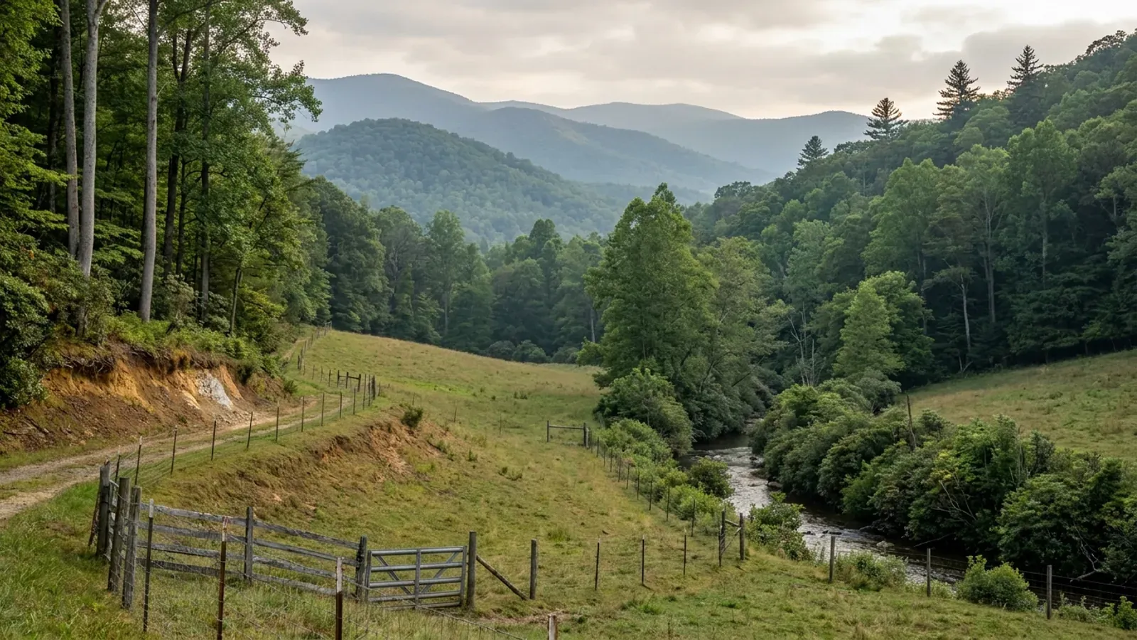
Barndominium Builders in Buncombe County, NC
Buncombe County is the seventh-largest county in North Carolina, with an estimated 277,417 residents in July 2025 across 656 square miles, and it is the one place in the state where two of the most useful facts about building a barndominium both come from the same fee schedule and the same zoning ordinance. The first is money: Buncombe County prices a new single-family dwelling permit at a flat $500 up to 1,500 square feet, and above that adds thirty cents for each additional HEATED square foot. Not gross area, not area under roof — heated area. On a building that is half shop, that is about as favourable as a North Carolina fee basis gets, and it is the exact opposite of how Wake and Union price the same house. The second is structural, and it is the thing almost nobody publishes: Buncombe is one of twelve counties in the 2018 NC Residential Code's mountain region, and for those counties Table R301.2(4) gives no wind speed at all. It sends you to Table R301.2(5), where the ultimate design wind speed is a function of the first-floor finish elevation of your building site. There is no Buncombe County number to quote. There is a ladder, and where your foundation sits on it decides what the shell has to be engineered for. On top of that the county runs two overlay districts of its own — a Steep Slope/High Elevation Overlay above 2,500 feet on natural slopes of 35 percent or more, and a Protected Ridge Overlay on ridges at least 3,000 feet high and 500 feet above the adjacent valley floor — and the second one contains the single provision a barndominium is most exposed to anywhere in North Carolina, because it caps building WIDTH rather than height. Buncombe County is also a Helene-declared county under DR-4827-NC. The county's fee schedule carries a Reduce to Rebuild provision that removes 100 percent of residential permit fees for documented Helene-damaged primary residences, and it has a stated end date — 30 June 2027 — which is the part a household planning a later rebuild needs to know. Floodplain mapping in the western counties has been in motion since the storm, and the honest thing a page can do about that is point at the county's own floodplain office and the state's flood viewer rather than repeat a number that has since moved.
Buncombe County at a glance
- County
- Buncombe County
- City rules outside city limits
- Buncombe County itself exercises no extraterritorial jurisdiction — ETJ is a municipal power under G.S. 160D-202, not a county one. The largest ETJ that used to exist here is gone: Session Law 2013-30, ratified 17 April 2013, removed the City of Asheville's authority to regulate land use in its ETJ, and the county's commissioners took up map amendments on 6 August 2013 to bring that territory into county zoning districts before the 120-day transition ran out on 15 August 2013.
- Population
- 277,417
- ZIP codes
- 28704, 28711, 28715, 28730, 28748, 28778, 28787, 28806
- Site visits
- Same week across Buncombe County and the surrounding mountain counties
Building conditions in Buncombe County
The building code does not change at a county line here. Under § 143-138(e) the North Carolina State Building Code applies throughout the state, and a city or county may adopt only a fire prevention code and floodplain regulations of its own — there is no general local amendment power, so there are no county amendments to look up. The edition in force is still the 2018 NC Residential Code, effective 1 January 2019; the 2024 edition has been delayed three times and carries no effective date at all. What genuinely differs is who issues the permit and inspects the work, what that office charges, how the parcel is zoned, what the local floodplain ordinance requires of the foundation — and two design numbers the code publishes county by county, the ultimate design wind speed and the seismic design category. The rest of Table R301.2 is set once for everyone: a flat 20 psf roof live load, a 12-inch frost line, Moderate weathering, and termite protection required everywhere in the state with no exemption. There is no ground snow load column in the residential code at all.
2018 NC Residential Code, Tables R301.2(4), R301.2(5) and R301.2(7), NC Office of the State Fire Marshal. The 2018 edition is the one in force; the 2024 edition has no effective date and carries the identical mountain-region table.
Buncombe County Fee Schedule, Fiscal Year 2027, 1 July 2026 – 30 June 2027, Permits & Inspections section, buncombenc.gov, downloaded and read 6 September 2026. Effective dates are printed on the cover.
Buncombe County Fee Schedule, Fiscal Year 2027, Permits & Inspections and Planning & Development sections, buncombenc.gov, read 6 September 2026.
Buncombe County Fee Schedule, Fiscal Year 2027, "Reduce to Rebuild" page, buncombenc.gov, downloaded and read 6 September 2026.
The Zoning Ordinance of Buncombe County, North Carolina — Chapter 78, Code of Ordinances, Section 78-645, initially adopted 1 December 2009 as amended 1 May 2018; county PDF at media.buncombenc.gov, extracted and read 6 September 2026. Mountain Ridge Protection Act of 1983, G.S. 113A-205 through 113A-214.
Buncombe County Zoning Ordinance Section 78-644(f), media.buncombenc.gov, read 6 September 2026; NC DEQ, NC Geological Survey, "Geologic Hazards and Landslides", deq.nc.gov, read 5 September 2026. County mapping coverage is as reported by NC public radio and NCGS programme reporting, January 2026.
Also worth knowing before you build in Buncombe County
- Steep Slope/High Elevation Overlay: 2,500 feet, 35 percent, and a hard cap on how much ground you may cover
- Section 78-644 of the Buncombe County Zoning Ordinance applies to the portion of the county at elevations of 2,500 feet above sea level and higher having a natural slope of 35 percent or greater, as delineated on the official county zoning map. Inside it: any new lot created with more than ten percent of its area in the overlay must be at least 1.5 acres; no more than two dwelling units or two principal buildings or structures are allowed per lot of record; maximum building height is 35 feet. Then the standard that catches people out. Maximum gross site area disturbance, excluding disturbance for installing an individual septic system, is 0.3 acres on lots under 2.0 acres and 15 percent on lots of 2.0 acres and larger. Maximum gross site impervious surface is 0.16 acres on lots under 2.0 acres and 8 percent on lots of 2.0 acres and larger, and those limits apply to drives, utilities and stormwater controls as well as to the building. A barndominium is a single large slab with a drive and a turnaround attached, so it puts more of its footprint in one place than a two-storey house of the same floor area does. There is also a screening requirement: on structure faces oriented to a downhill section dropping 25 feet or more within 100 feet, one tree of 1.5-inch diameter is required for every 200 square feet of planar surface, of varying native species, no species more than half the planting, planted within 50 feet of the structure. Existing trees can be credited if they are flagged before disturbance.
- Open Use has no dimensional requirements at all — the health department sets the real minimum
- Buncombe County's zoning ordinance was initially adopted on 1 December 2009 and amended 1 May 2018, and Section 78-579 applies it to the portion of the county delineated on the Official Zoning Map of Buncombe County — so the first question on any parcel is which district the map puts it in. The most permissive district in Table 2 of that ordinance is OU, Open Use. Its entire dimensional row reads: "No dimensional requirements except as applied to conditional uses." No minimum lot size, no setback schedule, no height cap. That does not mean a parcel there has no minimum, and the reason is Footnote 1 to the same table: the minimum land area for lots not served by public water or sewer is subject to approval by the county health department to ensure the proper operation of septic tanks and wells. On a rural mountain parcel, the binding constraint is almost never zoning — it is what the soil evaluation will support. 15A NCAC 18E .0502(a) makes a uniform stable slope of 65 percent or less suitable and anything steeper unsuitable for a wastewater system; .0505 needs at least 18 inches of soil above rock, saprolite or parent material; and .0508 requires room for both the initial system and a full repair area with all setbacks kept. Buncombe County prices the septic Improvement Permit at $400 for the first 500 gallons, and the Authorization to Construct at $150 if you already hold an Improvement Permit or $550 if you do not — so the ordinary new rural house is $550 before any water sampling. A well permit is $350.
- The soil here is brown, it is young, and its own description says it is moving
- The Piedmont red clay that most people picture when they think of North Carolina soil is not what a Buncombe County site sits on. The representative Blue Ridge series is Edneyville, and the USDA's official series description classes it coarse-loamy, mixed, active, mesic Typic Dystrudepts — an Inceptisol, a young weakly developed soil, rather than the deeply weathered Ultisols of the Piedmont and Coastal Plain. Its colours are very dark greyish brown to dark yellowish brown at the surface and yellowish brown to brownish yellow below. Its parent material is residuum from granite gneiss, granodiorite and biotite gneiss, described as "affected by soil creep in upper layers" — the surface material is moving downhill, slowly, all the time. Its slope range is given as 2 to 95 percent, typically 15 to 95, which is the single number that tells a buyer what "mountain lot" can mean; 95 percent is roughly 44 degrees. And one myth the series description kills: the typifying pedon runs more than 60 inches to weathered bedrock, so shallow soil in the mountains is a site condition to be tested for, not a regional constant. What that means for a barndominium is specific. A wide building wants a large level pad, and on this ground a level pad is made by cutting and filling, which is a geotechnical question before it is a foundation question.
- Air permitting here belongs to a local agency, not to the state
- Almost everywhere in North Carolina, air quality permitting is a state function. In Buncombe County it is not. The Asheville-Buncombe Air Quality Agency sets its own fees through its own board under an interlocal agreement between Buncombe County and the City of Asheville, and those fees are adopted into the AB Air Quality Code through the agency's own rule-making, with public notice and comment, rather than through the county budget. Chapter 1 of that code contains the interlocal agreement itself, which is the authority the programme runs under. The county fee schedule prints all of this in its own introduction and lists the agency's fees alongside its departments. For a barndominium build this matters at exactly two moments — site clearing and anything that burns — and the practical point is that the agency to ask is a local one with a local board, not a state regional office. It is also one of the four departments whose residential permit fees are covered by the Reduce to Rebuild reduction, alongside Onsite and Wastewater, Planning, and Permits and Inspections.
- Floodplain regulation is one of only two things a local government here may adopt for itself
- N.C.G.S. § 143-138(e) provides that the State Building Code applies throughout the State, and there is no general power for a county or city to amend it. The two exceptions are a fire prevention code and floodplain management regulations — which is why floodplain rules are genuinely local while structural, foundation and energy requirements are not. That matters in Buncombe County more than it does in most places right now, because western North Carolina's flood mapping has been in motion since September 2024 and effective maps, preliminary maps and the ground a buyer can see do not necessarily agree. Buncombe County Planning and Development runs a floodplain development page of its own, and North Carolina operates its own state Floodplain Mapping Program with flood zone data published at flood.nc.gov and the detailed effective-and-preliminary viewer at the Flood Risk Information System. Those are the two places to check a specific parcel, in that order, and they are worth re-checking rather than trusting a figure that was accurate a year ago. Nothing about a barndominium changes the flood rules — the elevation requirement follows the parcel, not the building type — but a wide single-storey building has all of its floor area on one level, which makes a base flood elevation a more consequential number here than it would be on a house with a second storey.
- Radon: Buncombe is one of eight counties the code's own table calls high potential
- Appendix F of the 2018 NC Residential Code reproduces the EPA's high radon-potential county table, and Table AF101(1) lists eight North Carolina counties as Zone 1: Alleghany, Buncombe, Cherokee, Henderson, Mitchell, Rockingham, Transylvania and Watauga. Zone 1 means a predicted average indoor screening level above 4 picocuries per litre. The part that is worth knowing before anybody quotes an extra for it: the code does not require radon-resistant construction anywhere in this state. Section R102.5 provides that appendix provisions do not apply unless specifically referenced in the adopting code, and Appendix F's own scope says it contains requirements for jurisdictions where radon-resistant construction is required, with inclusion determined by locally available data or a Zone 1 designation. So in Buncombe County it is a local-adoption question and a homeowner decision, not a statewide mandate — and a slab-on-grade barndominium is the building type where the passive sub-slab detail is cheapest to install during construction and most expensive to retrofit afterwards. Test the finished house regardless of zone; EPA's own guidance says so.
The Zoning Ordinance of Buncombe County, North Carolina — Chapter 78, Sections 78-644(b), (e) and (f), initially adopted 1 December 2009 as amended 1 May 2018; county PDF at media.buncombenc.gov, extracted and read 6 September 2026.
Buncombe County Zoning Ordinance Table 2 and Footnote 1, and Section 78-580, media.buncombenc.gov, read 6 September 2026; Buncombe County Fee Schedule FY2027, Public Health Onsite & Wastewater section, buncombenc.gov, read 6 September 2026; 15A NCAC 18E .0502, .0505 and .0508, NC Office of Administrative Hearings.
USDA-NRCS Official Series Description, EDNEYVILLE series, soilseries.sc.egov.usda.gov, read 5 September 2026. Southern Blue Ridge, MLRA 130B.
Buncombe County Fee Schedule, Fiscal Year 2027, introduction, "Asheville-Buncombe Air Quality Agency Fees", buncombenc.gov, read 6 September 2026.
N.C.G.S. § 143-138(e); Buncombe County Floodplain Development page, buncombenc.gov, verified live 5 September 2026; NC Floodplain Mapping Program, flood.nc.gov, and the NC Flood Risk Information System, fris.nc.gov.
2018 NC Residential Code, Appendix F, Section AF101.1 and Table AF101(1) "High Radon-Potential (Zone 1) Counties", and Section R102.5, NC Office of the State Fire Marshal, read 5 September 2026.
The expensive surprises are in the ground, not the building
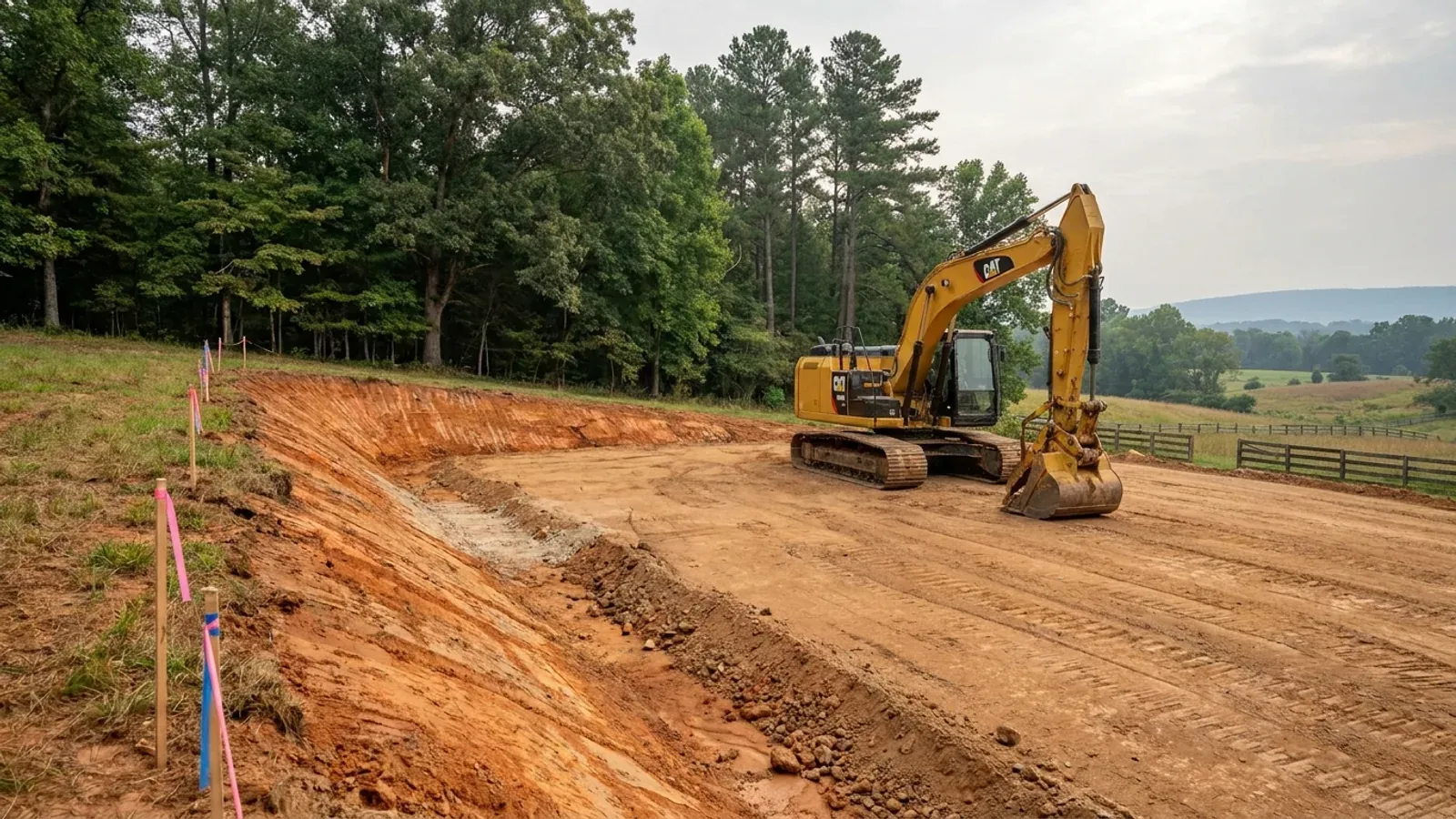
What moves a North Carolina budget is usually below grade, and the thing most often got wrong is which clay to worry about. Cecil — the red Piedmont clay everyone pictures, and the state soil — is kaolinitic and low shrink-swell; it does not heave. The soil that does is Iredell, formed over diabase and gabbro, which the USDA describes as vertic, very high shrink-swell, with a perched water table a foot or two down from December through April. The tell is colour: Cecil is red and Iredell is dark grey-brown, and they sit within a few miles of each other across the central Piedmont. West of that the question stops being clay and becomes slope, rock and colluvium; east of the fall line it becomes water, and in the Tidewater it becomes organic soil that subsides irreversibly once it is drained. Then the same ground decides the septic system, and North Carolina rewrote those rules recently enough that most of what is published about them is out of date. 15A NCAC 18E replaced the old subchapter on 1 January 2024 and was amended again on 1 June 2026: the site is classified on soil morphology — the word "percolation" does not appear anywhere in it — and there is no "provisionally suitable" any more, only suitable or unsuitable, on a single failed parameter. There is no statewide minimum lot size either; the area you need is derived from the soil result and then doubled, because a site that cannot fit both the initial field and its repair area is unsuitable. And the order matters more than people expect: the county health department's Improvement Permit and Construction Authorization come first, and the building permit is available on the strength of the Construction Authorization, not before it. One more thing that catches people: disturb more than an acre and you need an approved erosion and sedimentation control plan in hand before work starts, with penalties up to $5,000 a day, and a pad plus a drive plus a drainfield plus a laydown area crosses an acre faster than it sounds. So the site work, the foundation and the drainfield get resolved together rather than one at a time. We price the dirt before we price the building.
What we build in Buncombe County
All nine services are available in Buncombe County. What a build costs depends far more on the parcel than on square footage, so we price against your land rather than publishing a rate card.
Barndominium Kits
Engineered shell packages drawn to your own county's wind and seismic numbers under the 2018 NC Residential Code, with the exclusions written down.
Custom Plans
Barndominium floor plans drawn for your parcel, your county's design figures and the septic system your bedroom count will actually need.
Metal Homes
Metal building homes finished to live in — envelope, insulation, condensation control and interior finish specified to your NC county's climate zone.
What a build looks like
Three stages every Buncombe County project passes through, from a raw parcel to a finished home. Site work first, because that is where the budget is decided.
The parcel
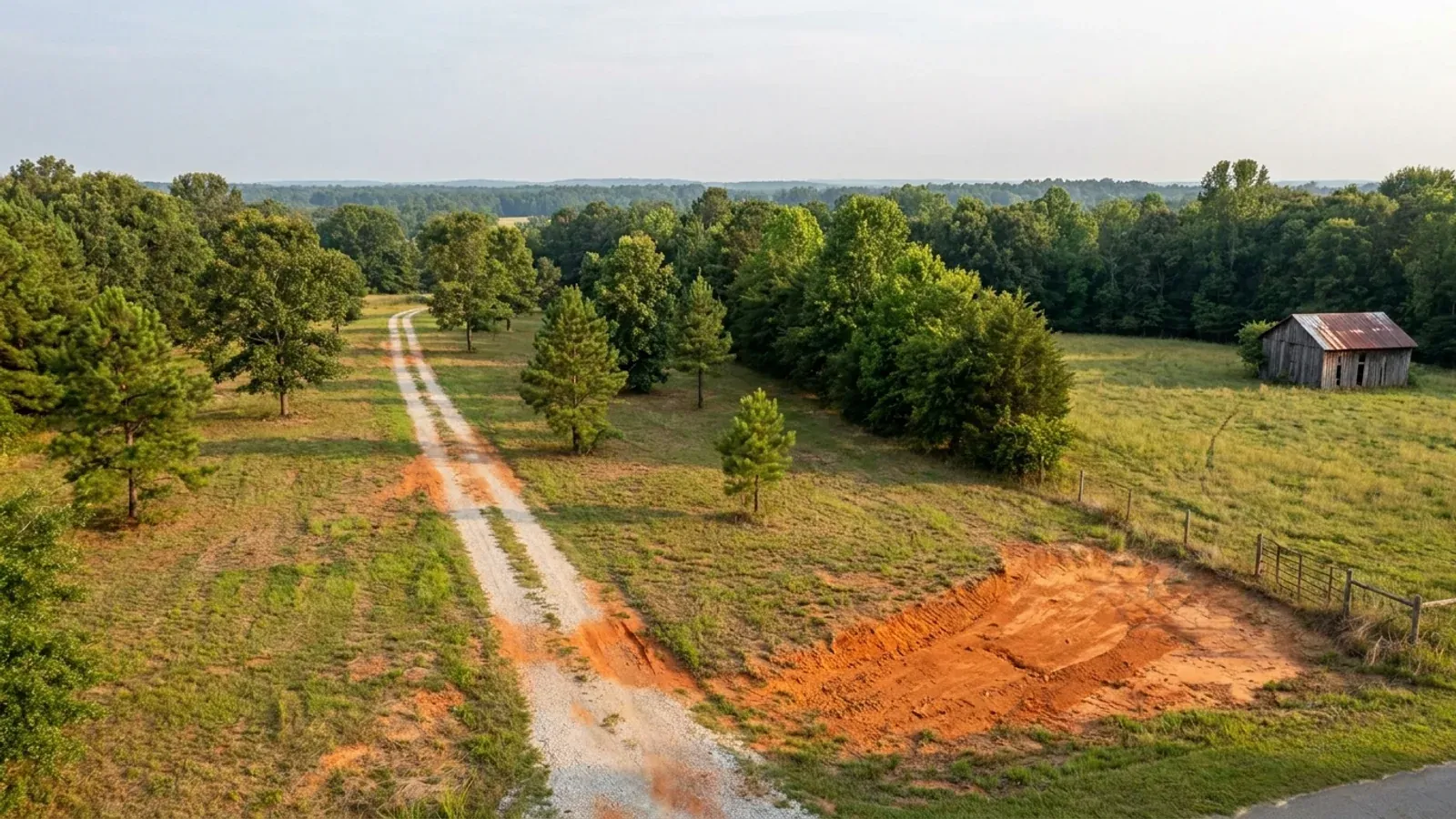
Zoning, setbacks, flood zone and utility access get checked before anything is drawn.
Pad and permit
Clearing, grading and a compacted pad, while the septic authorization and the building submittal work through whichever offices cover your parcel.
Frame to finish
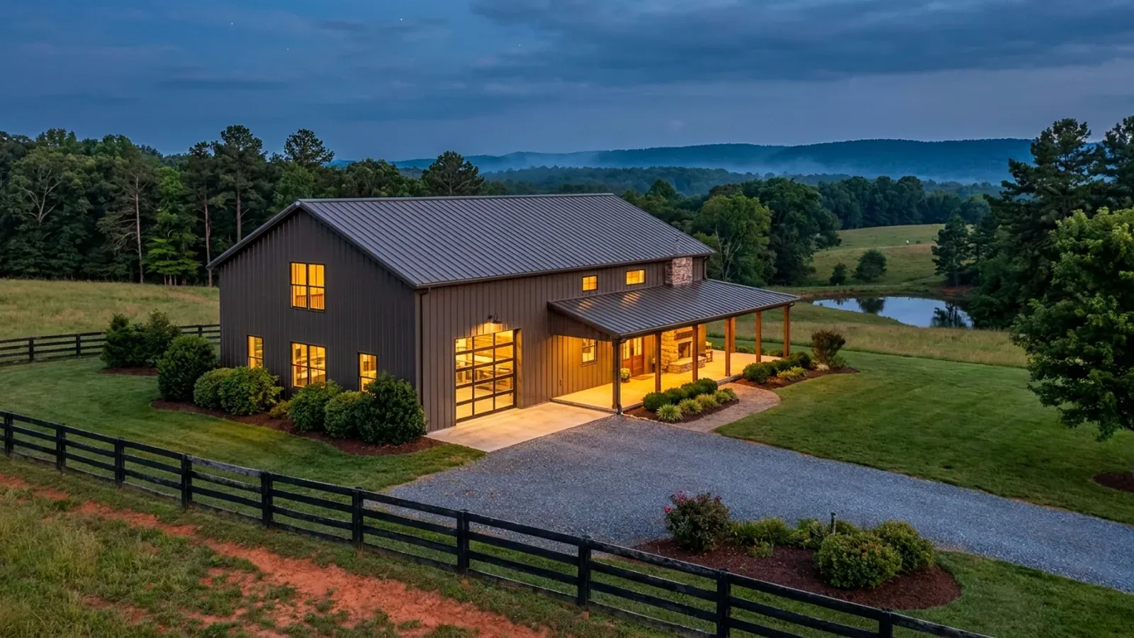
Shell erected and dried in, then systems, insulation and interior finish through to CO.
Those are the rules where you are building in Buncombe County. Tell us what you want to build and we will draw it to them.
Where we build around Buncombe County
Buncombe County and the rural land around it. The buildable acreage for a project this size usually sits outside the town limits — which does not automatically put it under the county, because a town's zoning and building-code enforcement reach one to three miles past its limits into its extraterritorial jurisdiction. Inside the limits, in the ETJ, or in neither are three different answers to who issues your permit.
Keep reading
The questions that usually come next once you know what Buncombe County allows.
Barndominium Cost Guide
What the named, dated sources actually publish for North Carolina, with a calculator built on the same figures.
Read itIs It Legal in North Carolina?
Why a "farm building" is defined as nonresidential, and the ten-acre right § 160D-903(b) gives you in exchange for building to the code.
Read itHow Long Does It Take?
Census build-duration data, and what actually sets the permit clock where you are building.
Read itNearby areas we build in
Others we cover nearby. Every North Carolina municipality sits inside a county — there are no independent cities here — but that does not settle who regulates a given parcel. A town's zoning, subdivision rules and building-code enforcement extend one to three miles beyond its limits, by population, into what the statute calls its extraterritorial jurisdiction; town taxes and town elections do not follow. So the office that issues the permit, what it charges and how the land is zoned can all differ from one card to the next, and the mailing address will not tell you which case you are in.
Building in Buncombe County: common questions
7 questions we get asked most often about building in Buncombe County. If yours is not on the list, ask it directly.
What wind speed does a Buncombe County barndominium have to be designed for?
How much is the building permit, and does the shop bay count?
Is the Helene permit fee waiver still running, and who qualifies?
What do the Steep Slope and Protected Ridge overlays actually stop me doing?
Who issues the permit — the county, or a town?
Do I need to look up Buncombe County's building-code amendments?
Is a barndominium on farmland exempt from the code here?
Building in Buncombe County?
Start with the plan. Tell us what you want to build and we will draw it, then confirm which office issues the permit for your parcel, what it will let you put there, and what wind load it has to meet. That conversation costs nothing.