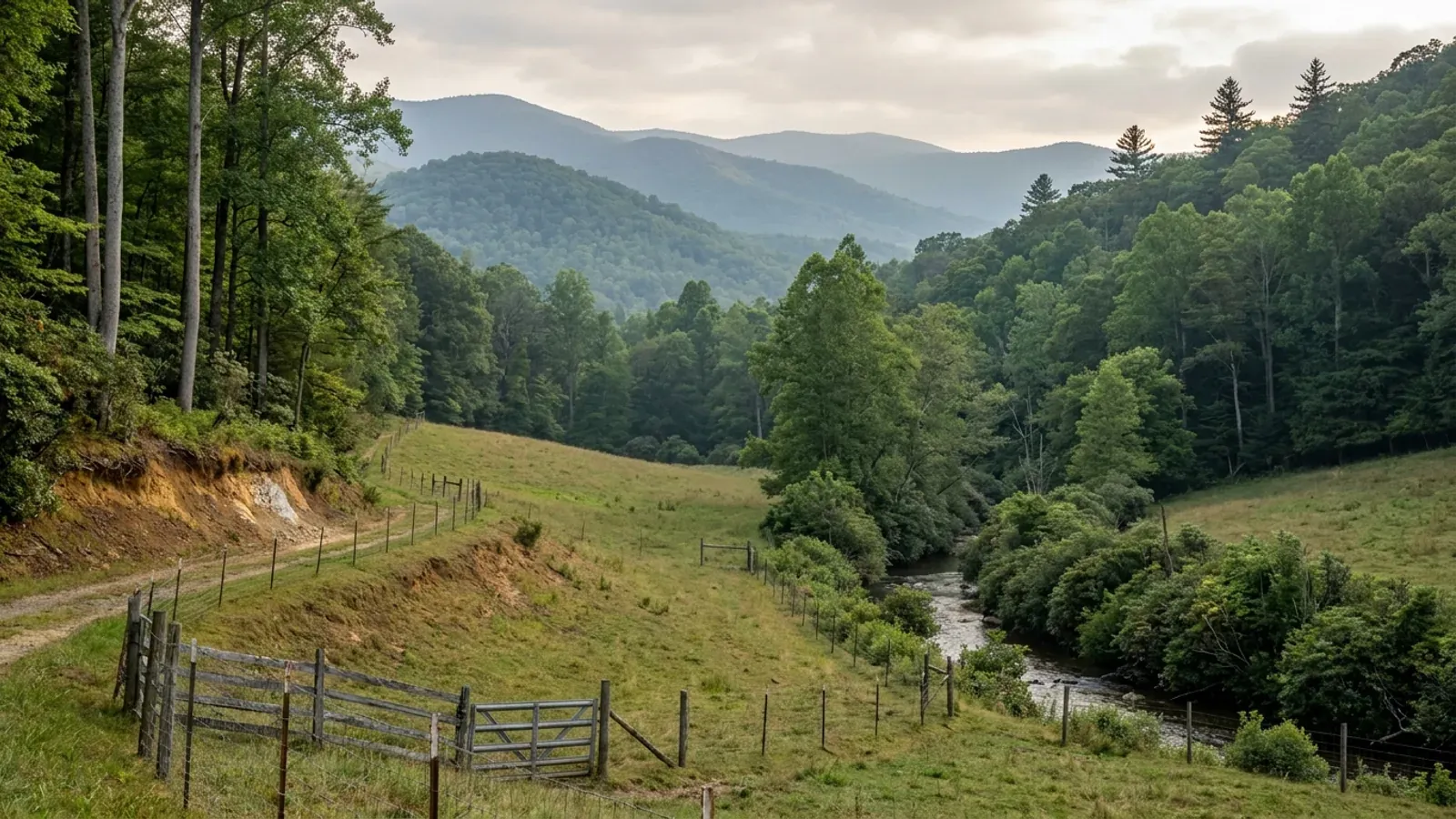
A small sloping hayfield and pasture on a mountain valley floor with contour fencing, a rhododendron-lined creek and rounded forested ridges receding in blue-grey layers behind.
Madison County 2018 NC Residential Code, statewide

Barndominium Builders in Madison County, NC

Madison County is the French Broad valley north of Asheville: Marshall on a narrow shelf between the river and the railroad, Mars Hill up on the ridge with the college, Hot Springs where the Appalachian Trail walks down the main street and crosses the river. It is the least dense of the three counties in this corner — 22,553 people across 450 square miles, fifty to the square mile — and the fastest growing, up 6.4 percent from the 2020 census base to the July 2025 estimate while Haywood managed 2.1 and McDowell 1.4. The land is 535 farms on 42,763 acres, 14.9 percent of the county, at a median farm size of 43 acres. Two things about building here are worth knowing before you look at a listing. The first is that Madison zones by designation rather than by blanket: its Land Use Ordinance, adopted by the county's citizens in 1974 and last amended in April 2024, applies to lands the Board of Commissioners has designated official zone areas, and the three towns each run their own. The second is that there is no county wind speed to quote — the code sets it by how high your finished first floor sits, and in a county that runs from the river bottom at Marshall to the ridgeline the difference is not academic. On steep ground with small parcels along the river, though, the answer that usually decides the lot is neither of those. It is the septic soil evaluation.

Madison County at a glance

County
Madison County
City rules outside city limits
Madison County's zoning reaches only lands the commissioners have designated official zone areas, and Marshall, Mars Hill and Hot Springs each run their own zoning with their own boards.
Population
22,553
ZIP codes
28743, 28753, 28754
Site visits
Same week along the French Broad and the US 25-70 corridor

Building conditions in Madison County

The building code does not change at a county line here. Under § 143-138(e) the North Carolina State Building Code applies throughout the state, and a city or county may adopt only a fire prevention code and floodplain regulations of its own — there is no general local amendment power, so there are no county amendments to look up. The edition in force is still the 2018 NC Residential Code, effective 1 January 2019; the 2024 edition has been delayed three times and carries no effective date at all. What genuinely differs is who issues the permit and inspects the work, what that office charges, how the parcel is zoned, what the local floodplain ordinance requires of the foundation — and two design numbers the code publishes county by county, the ultimate design wind speed and the seismic design category. The rest of Table R301.2 is set once for everyone: a flat 20 psf roof live load, a 12-inch frost line, Moderate weathering, and termite protection required everywhere in the state with no exemption. There is no ground snow load column in the residential code at all.

Build conditions for Madison County , North Carolina : ultimate design wind speed By elevation. BUILD CONDITIONS MADISON COUNTY, NCMadison County2018 NC RESIDENTIAL CODEULTIMATE DESIGN WIND SPEEDBy elevationMadison is one of twelve counties the 2018 NC Residential Code marks special mountain region inTable R301.2(4). No county figure exists. Table R301.2(5) sets the speed by first-floor finish…ZONING · RA RESIDENTIAL-AGRICULTURAL OR AO AG…One acre in RA; two acres in AO; one…The Land Use Ordinance is enacted under Article 7 of Chapter 160Dand establishes primary districts AO, RA, R-1, R-2, N-C, CMU, C, I…WHO ISSUES THE PERMITMadison County Inspections and Zoning5707 US 25-70 Highway, Suite 5, Room 19, Marshall, NC 28753,828-649-3766. Building code enforcement and the Land Use Ordinance…
Build conditions for Madison County, drawn from the sourced facts on this page. Every figure above is cited in the quick-facts panel below, with its source and vintage.
Madison zones by designation, not by blanket — and it has since 1974
Chapter 1 of the Land Use Ordinance of Madison County states its own reach in a single sentence: the ordinance applies to all lands within areas designated official zone areas by the Board of Commissioners of Madison County. That is a materially different thing from a countywide zoning map, and it is the first question to settle on any Madison parcel — whether the land you are looking at is inside a designated zone area at all. The ordinance was adopted by the county's citizens in 1974, is enacted under Article 7 of Chapter 160D of the General Statutes, and was last amended 9 April 2024. It also provides that the county may regulate territory inside a municipality's own zoning jurisdiction where that municipality agrees by resolution, and that the municipality may withdraw on one year's written notice. About one North Carolina county in five runs no county zoning at all on the UNC School of Government's count, so this is a fair question anywhere in the state. In Madison the answer is neither of the two obvious ones, and the county's GIS and its Marshall office are where you settle it.

Land Use Ordinance of Madison County, North Carolina, Chapter 1 Authority and Jurisdiction, amended 9 April 2024, madisoncountync.gov; Madison County Planning and Zoning page, madisoncountync.gov/planning-and-zoning.html
There is no Madison County wind speed — the code sets it by your floor elevation
Table R301.2(4) of the 2018 NC Residential Code lists 49 counties and gives every other county 115 mph. Madison is listed, but not with a number: it carries the designation special mountain region, one of twelve counties that do, and the figure is resolved by Table R301.2(5) from the elevation of the finished first floor. Below 2,700 feet the ultimate design wind speed is 115 mph; 2,700 to under 3,000 feet is 120; 3,000 to under 3,500 is 130; 3,500 to under 4,500 is 140; and 4,500 feet or above is 150 mph — the same figure the code gives Carteret County on the coast. In a county that runs from the French Broad bottomland at Marshall up to the Bald Mountains on the state line, that ladder is not theoretical: a valley lot and a ridge lot in Madison can be two different buildings. Establish the finished-floor elevation before the structure is engineered, not after.

2018 NC Residential Code, Tables R301.2(4) and R301.2(5), ncosfm.gov

The permit fee is a band, not a rate — and a basement moves you up one
Madison County's FY 2024-25 fee schedule prices a new-construction residential permit by square-footage band rather than by a per-square-foot rate, and it runs two separate tables depending on the foundation. On slab or crawlspace: 0 to 999 square feet is $410.00, 1,000 to 1,499 is $505.00, 1,500 to 1,999 is $631.00, 2,000 to 2,499 is $757.00, and 2,500 and up is $884.00 plus $0.35 for every additional square foot. On a full basement the same bands run $505.00, $600.00, $726.00, $852.00, and $947.00 plus $0.35 for every additional square foot. The schedule carries its own separate banded line for workshops, detached garages and barns as accessory-structure permits. Two consequences for a barndominium: the marginal square foot costs nothing until you cross a band edge, so a plan that lands at 1,505 square feet pays the same as one at 1,999; and above 2,500 square feet the schedule becomes a per-foot charge, which is where most barndominiums live. Work out which side of 2,500 the plan falls on early. This is a permit fee, not a build cost, and no North Carolina agency publishes a reliable figure for the latter.

Madison County FY 2024-25 Fee Schedule, Inspections, madisoncountync.gov/uploads/5/9/7/0/59701963/inspections_fee_schedule_fy_2024-2025.pdf

The farm exemption names four documents that will prove it
Section 1.1 of the Land Use Ordinance exempts bona fide farms from the ordinance and says so bluntly: the ordinance exercises no control over croplands, timberlands, pasture lands, apple orchards, idle or other farmlands, nor over any farmhouse, barn, poultry house or other farm building, including tenant or other houses for persons working on the farm, so long as those houses are in the same ownership as the farm and located on it. Residences other than for farm use are subject to the ordinance. What makes Madison's version unusually useful is that it then names the evidence: a farm sales tax exemption certificate issued by the NC Department of Revenue; a property tax listing showing the land is eligible for the present-use value programme under N.C.G.S. 105-277.3; a copy of the owner's or operator's Schedule F from their most recent federal return; or a forest management plan. Any one of those is sufficient. Read it for what it is, though — an exemption from ZONING. The building code is a separate instrument, and N.C.G.S. § 143-138(b4)(1) defines a farm building as any nonresidential building or structure, so the code exemption never reaches a dwelling. Conflating the two is where buyers in rural counties get hurt.

Land Use Ordinance of Madison County, North Carolina, Section 1.1 Bona Fide Farms Exempt, amended 9 April 2024, madisoncountync.gov; N.C.G.S. § 143-138(b4)(1)

The county's Floodplain District still points at the June 2009 FIRM maps
Section 3.7.1 of the Land Use Ordinance establishes the F-P Floodplain District and delineates it on the FEMA Flood Insurance Rate Maps of 2 June 2009. The ordinance carrying that sentence was last amended in April 2024. That is a checkable fact rather than a criticism, and it is a service to say it out loud: the map a zoning overlay is drawn from and the map that governs your flood insurance and your finished floor elevation are not necessarily the same document on the same date. Madison County was one of 39 North Carolina counties, plus the Eastern Band of Cherokee Indians, designated under DR-4827-NC when Hurricane Helene was declared on 28 September 2024. Effective and preliminary FEMA maps can differ, and the state runs its own NC Floodplain Mapping Program. Before you fix a pad location on any parcel near the French Broad, Laurel Creek, Spring Creek or the Ivy, get the zone in writing from the county floodplain administrator in Marshall and cross-check it at flood.nc.gov. The ordinance is also explicit that no damageable portion of a structure outside the floodway but within the floodplain may sit below the flood protection elevation defined in the county's Flood Damage Prevention Ordinance.

Land Use Ordinance of Madison County, North Carolina, Section 3.7.1 F-P Floodplain District, amended 9 April 2024, madisoncountync.gov; FEMA, DR-4827-NC disaster declaration, OpenFEMA DisasterDeclarationsSummaries; NC Floodplain Mapping Program, flood.nc.gov

Two overlays that change the minimum lot: the Ivy River watershed and the protected ridges
Section 3.7.3 establishes WS-B and WS-CA watershed districts to protect the water supply drawn from the Ivy River, and the minimum lot size inside them is not the underlying district's. In the WS-B area the minimum is one acre; in the WS-CA critical area it is two. The watershed area is shown on the Madison County Watershed Map, and the rules of the county's Watershed Protection Ordinance apply on top of whatever the base district allows. Section 3.7.2 establishes the PR Protected Ridges overlay, which regulates the height of tall buildings and structures on mountain ridges defined and shown on the Madison County Protected Ridges Map, with the Madison County Mountain Ridge Protection Ordinance setting the requirements. Permitted uses are not changed by either overlay — the dimensions and the height are. On a Madison parcel, checking the base district and stopping there is how people end up with a footprint that will not fit.

Land Use Ordinance of Madison County, North Carolina, Sections 3.7.2 PR Protected Ridges and 3.7.3 Watershed District, amended 9 April 2024, madisoncountync.gov

Also worth knowing before you build in Madison County

Backyard Workshops is a named permitted use in both rural districts
The RA Residential-Agricultural and AO Agriculture-Open Space districts both list Backyard Workshops among their uses permitted by right, alongside Accessory Dwelling, Accessory Structure, any form of agriculture or horticulture, home occupations and single-family dwellings. RA is written for low-density residential and agricultural development not served by public water and dependent on septic tanks; AO is written for agriculture, low-density residential and open space, with a two-acre minimum lot against RA's one. The dimensional standards are otherwise the same for both: 100 feet of lot width, a 50-foot front setback from a DOT road or 40 feet from a private one, 15-foot sides, a 20-foot rear, a 35-foot height limit and a maximum lot coverage of 20 percent of the total area. That coverage figure is the barndominium number — a 4,000 square foot footprint needs 20,000 square feet of lot under it on the coverage rule alone, which the one-acre RA minimum covers comfortably and a wide, shallow building can still test.

Land Use Ordinance of Madison County, North Carolina, Sections 3.6.2 AO and 3.6.3 RA, amended 9 April 2024, madisoncountync.gov

The fastest-growing and the least dense of the three counties here
Madison went from 21,201 residents on the 2020 census base to 22,553 on the July 2025 estimate, a 6.4 percent increase, against 2.1 percent in Haywood and 1.4 percent in McDowell over the same period. It is also the emptiest of the three: 450 square miles at 50 people per square mile, where Haywood runs 114 and McDowell 103. The 2022 Census of Agriculture records 535 farms on 42,763 acres — 14.9 percent of the county — averaging 80 acres with a median of 43, the largest median of the three. More growth pressure and more available acreage at once is an unusual pairing, and it is the reason land here trades faster than the population figure suggests.

U.S. Census Bureau, Vintage 2025 county population estimates and 2025 Gazetteer county file, census.gov; USDA NASS, 2022 Census of Agriculture county data, nass.usda.gov

The county's own permit form asks whether a town is involved before it asks anything else
Madison County's Application for Building Permit carries two adjacent yes-or-no fields near the top of the page — Town Jurisdiction, and Town Approvals — next to the PIN number, acreage and zoning classification. That is the county telling you, on its own form, that the town question is settled before the building question. It matters because the county's Planning and Zoning page states that Mars Hill, Marshall and Hot Springs each have their own zoning, adopted their own ordinances and appointed their own boards to oversee planning and zoning and to handle appeals and conditional uses. The application also breaks the fee into a Bldg line and a separate Zoning line, and asks for dwelling square footage and garage square footage as separate entries — which is the kind of detail that tells you how a barndominium will actually be assessed here.

Madison County Application for Building Permit, Madison County Inspections, madisoncountync.gov; Madison County Planning and Zoning page, madisoncountync.gov/planning-and-zoning.html

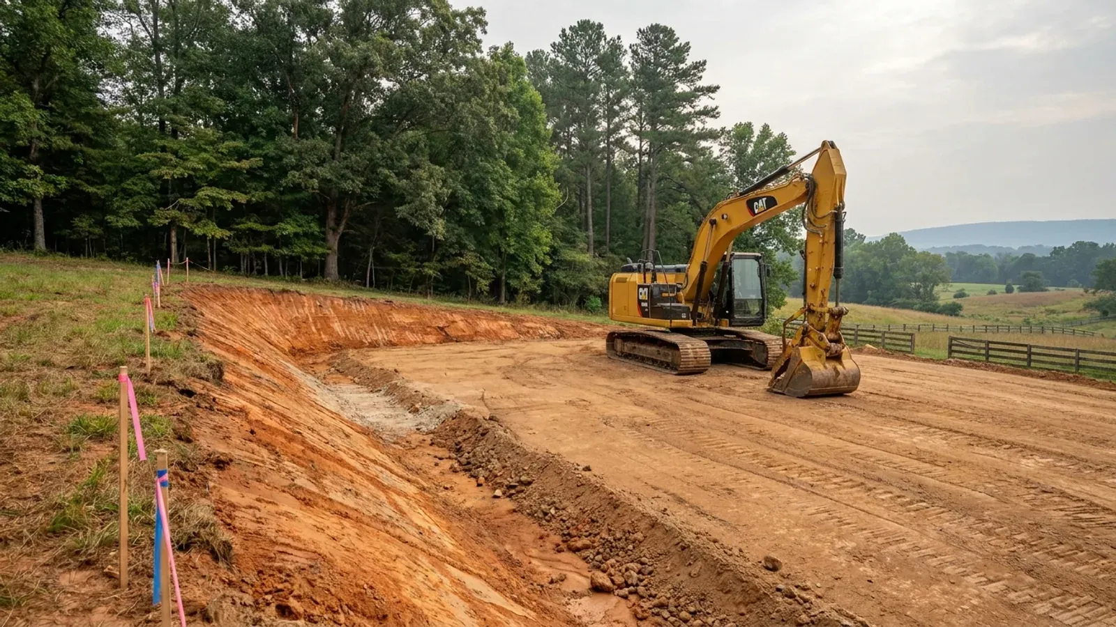
An excavator grading a compacted building pad on a cleared lot, with survey stakes, a drainage swale and a silt fence along the downhill edge.
Below the slab

The expensive surprises are in the ground, not the building

What moves a North Carolina budget is usually below grade, and the thing most often got wrong is which clay to worry about. Cecil — the red Piedmont clay everyone pictures, and the state soil — is kaolinitic and low shrink-swell; it does not heave. The soil that does is Iredell, formed over diabase and gabbro, which the USDA describes as vertic, very high shrink-swell, with a perched water table a foot or two down from December through April. The tell is colour: Cecil is red and Iredell is dark grey-brown, and they sit within a few miles of each other across the central Piedmont. West of that the question stops being clay and becomes slope, rock and colluvium; east of the fall line it becomes water, and in the Tidewater it becomes organic soil that subsides irreversibly once it is drained. Then the same ground decides the septic system, and North Carolina rewrote those rules recently enough that most of what is published about them is out of date. 15A NCAC 18E replaced the old subchapter on 1 January 2024 and was amended again on 1 June 2026: the site is classified on soil morphology — the word "percolation" does not appear anywhere in it — and there is no "provisionally suitable" any more, only suitable or unsuitable, on a single failed parameter. There is no statewide minimum lot size either; the area you need is derived from the soil result and then doubled, because a site that cannot fit both the initial field and its repair area is unsuitable. And the order matters more than people expect: the county health department's Improvement Permit and Construction Authorization come first, and the building permit is available on the strength of the Construction Authorization, not before it. One more thing that catches people: disturb more than an acre and you need an approved erosion and sedimentation control plan in hand before work starts, with penalties up to $5,000 a day, and a pad plus a drive plus a drainfield plus a laydown area crosses an acre faster than it sounds. So the site work, the foundation and the drainfield get resolved together rather than one at a time. We price the dirt before we price the building.

What a build looks like

Three stages every Madison County project passes through, from a raw parcel to a finished home. Site work first, because that is where the budget is decided.
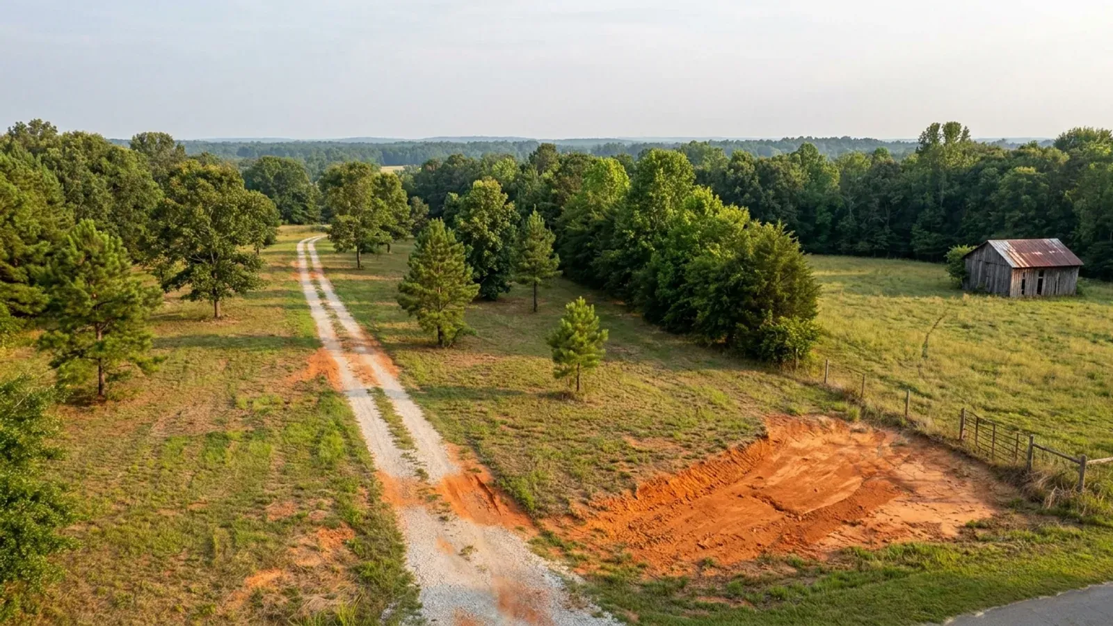
Aerial view of an undeveloped rural lot with cleared grass, a mixed oak, hickory and pine treeline, exposed red clay in one corner and a pale gravel access track.
Stage one

The parcel

Zoning, setbacks, flood zone and utility access get checked before anything is drawn.

An excavator grading a compacted building pad on a cleared lot, with survey stakes, a drainage swale and a silt fence along the downhill edge.
Stage two

Pad and permit

Clearing, grading and a compacted pad, while the septic authorization and the building submittal work through whichever offices cover your parcel.
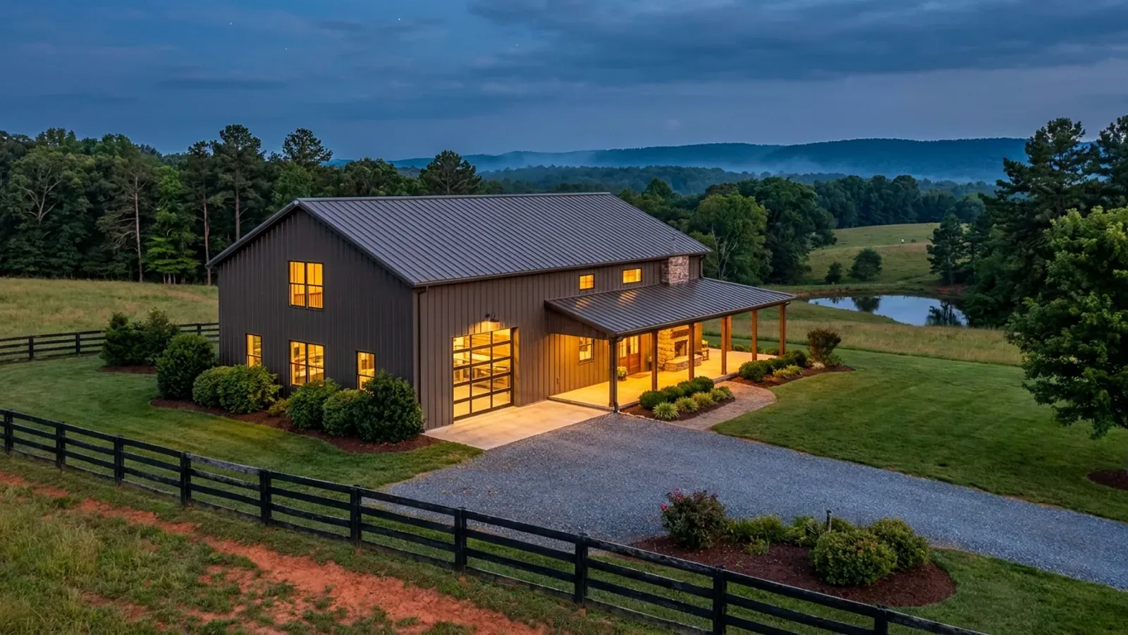
A finished barndominium at dusk with warm interior lighting glowing through its large windows.
Stage three

Frame to finish

Shell erected and dried in, then systems, insulation and interior finish through to CO.

Those are the rules where you are building in Madison County. Tell us what you want to build and we will draw it to them.

Where we build around Madison County

Madison County and the rural land around it. The buildable acreage for a project this size usually sits outside the town limits — which does not automatically put it under the county, because a town's zoning and building-code enforcement reach one to three miles past its limits into its extraterritorial jurisdiction. Inside the limits, in the ETJ, or in neither are three different answers to who issues your permit.

The Madison County service area, including the rural acreage outside the built-up edge, which is where the parcels big enough for a build like this usually sit. The map marks the territory we build in. It is not a branch location, and there is no office at this pin.

Nearby areas we build in

Others we cover nearby. Every North Carolina municipality sits inside a county — there are no independent cities here — but that does not settle who regulates a given parcel. A town's zoning, subdivision rules and building-code enforcement extend one to three miles beyond its limits, by population, into what the statute calls its extraterritorial jurisdiction; town taxes and town elections do not follow. So the office that issues the permit, what it charges and how the land is zoned can all differ from one card to the next, and the mailing address will not tell you which case you are in.

Building in Madison County: common questions

8 questions we get asked most often about building in Madison County. If yours is not on the list, ask it directly.

Does Madison County have zoning?
Yes, but not the way most people mean it. The Land Use Ordinance of Madison County was adopted by the county's citizens in 1974, is enacted under Article 7 of Chapter 160D of the General Statutes, and was last amended 9 April 2024. Its Chapter 1 states the jurisdiction in one sentence: the ordinance applies to all lands within areas designated official zone areas by the Board of Commissioners of Madison County. So the first thing to establish about a Madison parcel is whether it sits inside a designated zone area at all — that is a question for the county's GIS and for the Inspections and Zoning office in Marshall, and it is not answered by looking at a district table. Marshall, Mars Hill and Hot Springs each run their own zoning with their own ordinances and their own boards. About one North Carolina county in five has no county zoning at all on the UNC School of Government's count, so asking is always right in this state; in Madison the answer sits between the two obvious ones.
What wind speed does Madison County use?
It does not use one. Table R301.2(4) of the 2018 NC Residential Code — the edition in force — lists Madison as a special mountain region county rather than giving it a figure, one of twelve counties treated that way. The design speed comes instead from Table R301.2(5) and depends on the elevation of your finished first floor: under 2,700 feet, 115 mph; 2,700 to under 3,000 feet, 120 mph; 3,000 to under 3,500 feet, 130 mph; 3,500 to under 4,500 feet, 140 mph; 4,500 feet or above, 150 mph. Madison also sits in Seismic Design Category C under Table R301.2(7), one of thirteen counties on that list and one of only six that are on both lists. Statewide and true everywhere: a flat 20 psf roof live load, a 12-inch frost line depth, Moderate weathering, and termite protection required across the whole state at a Moderate-Heavy severity. Section R301.2.3 is deleted, so the code publishes no ground snow load column at all — any snow figure quoted for this county did not come from it.
What will the permit cost in Madison County?
Madison charges by size band rather than by the square foot, which changes how you should think about the plan. Under the FY 2024-25 fee schedule, a new residential permit on slab or crawlspace is $410.00 for 0 to 999 square feet, $505.00 for 1,000 to 1,499, $631.00 for 1,500 to 1,999, $757.00 for 2,000 to 2,499, and $884.00 plus $0.35 for every additional square foot at 2,500 and up. On a full basement the bands run $505.00, $600.00, $726.00, $852.00, and $947.00 plus $0.35 per additional square foot. Workshops, detached garages and barns are permitted separately under their own banded accessory-structure line. Most barndominiums land above 2,500 square feet, which is where the schedule turns into a per-foot charge, so it is worth pricing the plan on both sides of that edge. That is a permit fee — what the county charges to review and inspect. It is not a cost to build, and there is no citable North Carolina cost-to-build figure to pair it with.
The parcel is small and steep, along the river. Will it pass for septic?
This is the question that decides most Madison lots, and it is decided by soil morphology rather than a percolation test — the word percolation does not appear anywhere in 15A NCAC 18E, the subchapter that replaced the old .1900 rules on 1 January 2024 and was itself amended effective 1 June 2026. Under .0509(a) a site is suitable or unsuitable; the old provisionally suitable middle category is gone and one failed parameter ends it. Slope, soil depth to rock and depth to a seasonal water table are all evaluated parameters, and on a narrow river shelf below a steep hillside all three do real work at once. Rule .0508(b) requires the site to hold both the initial drainfield and a full repair area, which doubles the ground you need — and on a small parcel that is usually the binding constraint, not the one-acre RA minimum. The sequence is Improvement Permit, then Construction Authorization, then Operation Permit, all through Madison County Environmental Health, and .0201(c) means the building permit cannot issue until the Construction Authorization has. Get the soil evaluation before the offer.
Who issues the permit — the county, or one of the towns?
Madison County Inspections and Zoning, at 5707 US 25-70 Highway in Marshall, enforces the North Carolina Building Code across the county and administers the Land Use Ordinance from the same office. The towns are the complication: the county's own Planning and Zoning page states that Mars Hill, Marshall and Hot Springs each have their own zoning, adopted their own ordinances and appointed their own boards. The county's building permit application reflects that with adjacent Town Jurisdiction and Town Approvals fields on its face. And under G.S. 160D-202 a municipality's extraterritorial jurisdiction can reach one to three miles past its limits depending on population, carrying its zoning, subdivision regulation and building-code enforcement without the town tax and without a town vote — so a parcel outside the town line can still be the town's business. Ask the town directly before you make an offer on anything within a few miles of one.
Is the land in a watershed or ridge overlay?
It might be, and both overlays change the numbers rather than the uses. The WS-B and WS-CA watershed districts under Section 3.7.3 protect the supply drawn from the Ivy River; the minimum lot size is one acre in WS-B and two acres in the WS-CA critical area, and the county's Watershed Protection Ordinance applies on top of the base district. The PR Protected Ridges overlay under Section 3.7.2 regulates the height of tall buildings and structures on ridges defined and shown on the Madison County Protected Ridges Map, with the Madison County Mountain Ridge Protection Ordinance governing. Neither overlay removes a permitted use — but a two-acre minimum where you expected one, or a height restriction on a ridge site, will change a plan late if you find it late. The Inspections and Zoning office in Marshall can tell you which overlays a parcel falls in before you commit to a footprint.
There is a barn on the property and the seller says it is a farm. Does that exempt me?
From zoning, quite possibly. From the building code, no. Section 1.1 of the Land Use Ordinance exempts bona fide farms and states that the ordinance exercises no control over croplands, timberlands, pasture, orchards or farm buildings, including houses for people working the farm where those are in the same ownership and on the farm. It then names four documents any one of which is sufficient proof: a NC Department of Revenue farm sales tax exemption certificate; a property tax listing showing present-use value eligibility under N.C.G.S. 105-277.3; the owner's or operator's most recent federal Schedule F; or a forest management plan. But zoning and the building code are different instruments. N.C.G.S. § 143-138(b4)(1) defines a farm building as any nonresidential building or structure, so the code exemption stops the moment someone lives in it. A conversion or a new dwelling is inspected as a dwelling under the 2018 NC Residential Code. And if any of an existing barn's frame is to carry load in the finished building, Section R301.1.2 requires a framing system outside the code's prescriptive scope to demonstrate equivalent detailing — that is work for a professional engineer licensed in North Carolina, and § 89C-25 contains no residential carve-out.
Do I need an erosion and sedimentation control plan?
If the work will cumulatively disturb one acre or more, yes, and the plan has to be approved before any land-disturbing activity begins. On Madison ground the acre arrives quickly, because a drive that has to climb off a river shelf disturbs far more than its length suggests, and the pad, the septic area, the required repair area and the material laydown all count toward the total. Measure the disturbed area, not the building footprint. If the parcel is in a WS-B or WS-CA watershed area, the county's Watershed Protection Ordinance adds built-upon-area limits on top of the state requirement, and on a wide building with a long gravel drive that calculation is not academic. Ask the county which programme administers your parcel before the excavator is booked, since a delegated local programme may set stricter terms than the state minimum.

Building in Madison County?

Start with the plan. Tell us what you want to build and we will draw it, then confirm which office issues the permit for your parcel, what it will let you put there, and what wind load it has to meet. That conversation costs nothing.