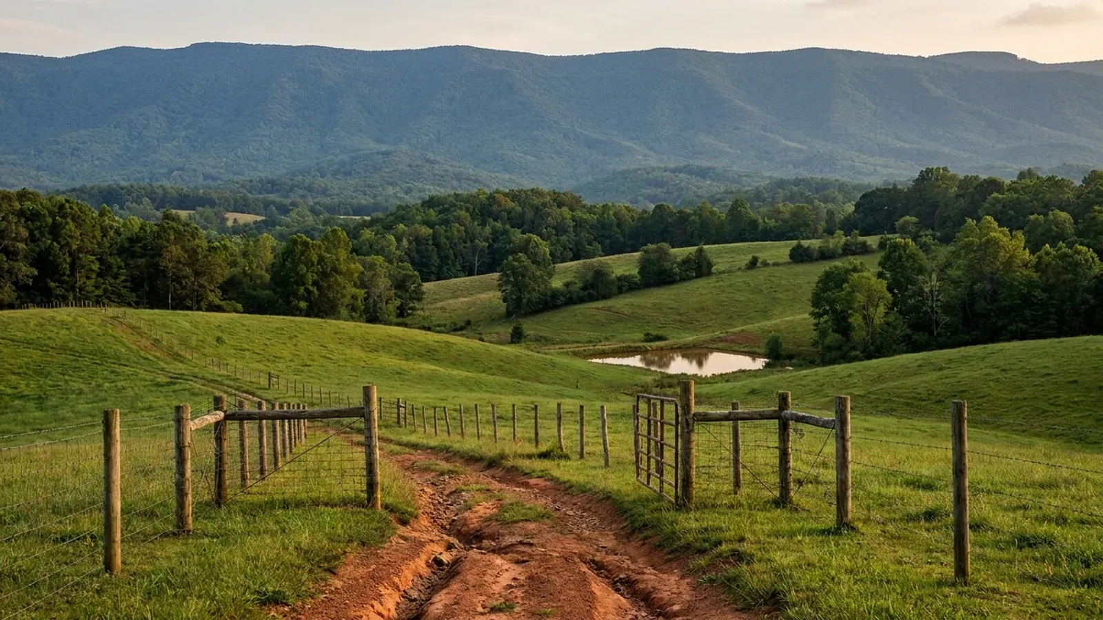
Rolling foothill pasture with contour fencing and a stock pond, running back to the abrupt forested wall of the Blue Ridge Escarpment layered blue-grey in the haze.
Wilkes County 2018 NC Residential Code, statewide

Barndominium Builders in Wilkes County, NC

Wilkes County is the foothills rather than the mountains, and the distinction is not scenery — it decides how the plans get drawn. Twelve North Carolina counties are marked as a special mountain region in Table R301.2(4) of the 2018 NC Residential Code and have no county wind speed at all, taking their design speed from the first-floor finish elevation of the individual building site instead. Wilkes is not one of them. It is not named in that table at all, which means it takes the table's unlisted default of 115 mph, the floor of the code, the same figure 51 of the hundred counties carry — so a ridge site above the Yadkin and a bottomland site near Ronda design to the same number, unlike Ashe and Alleghany immediately north. What is genuinely local here is everything else. Wilkes County's zoning ordinance applies, by its own Article III, only to lands inside areas the Board of Commissioners has designated as official zone areas, so the zoning question is a map question before it is a district question — and § 31 of that same ordinance exempts bona fide farms, farm houses included, while the building code exempts no dwelling anywhere in the state. The county's permit sequence puts a watershed and zoning permit and a flood damage prevention permit ahead of the building permit, which matters because the Yadkin has no state riparian buffer rule the way the Neuse, Tar-Pamlico, Jordan, Randleman and Catawba systems do; a Wilkes buyer's water setback comes from the county's watershed ordinance and map or from nowhere. And the fee schedule is the most barndominium-relevant document in the county: it charges heated area in brackets from $0.20 a square foot, and prices an attached garage or unfinished basement at $0.04 and a detached garage or storage building at $0.10 — the only place on this axis where attaching the shop to the house makes it cheaper.

Wilkes County at a glance

County
Wilkes County
City rules outside city limits
All four incorporated places in Wilkes County are under 10,000 people, so the extraterritorial ceiling under G.S. 160D-202 is one mile — and the county states the rule itself, directing anyone in a town jurisdiction or a one-mile ETJ to Wilkesboro or North Wilkesboro.
Population
66,233
Site visits
Same week across Wilkes County

Building conditions in Wilkes County

The building code does not change at a county line here. Under § 143-138(e) the North Carolina State Building Code applies throughout the state, and a city or county may adopt only a fire prevention code and floodplain regulations of its own — there is no general local amendment power, so there are no county amendments to look up. The edition in force is still the 2018 NC Residential Code, effective 1 January 2019; the 2024 edition has been delayed three times and carries no effective date at all. What genuinely differs is who issues the permit and inspects the work, what that office charges, how the parcel is zoned, what the local floodplain ordinance requires of the foundation — and two design numbers the code publishes county by county, the ultimate design wind speed and the seismic design category. The rest of Table R301.2 is set once for everyone: a flat 20 psf roof live load, a 12-inch frost line, Moderate weathering, and termite protection required everywhere in the state with no exemption. There is no ground snow load column in the residential code at all.

Build conditions for Wilkes County , North Carolina : ultimate design wind speed 115 mph. BUILD CONDITIONS WILKES COUNTY, NCWilkes County2018 NC RESIDENTIAL CODEULTIMATE DESIGN WIND SPEED115 mphWilkes County is not named in Table R301.2(4) of the 2018 NC Residential Code, so it takes thattable's unlisted default of 115 mph. It is also not among the twelve counties the same table mark…ZONING · R-20A RESIDENTIAL-AGRICULTURAL20,000 sq ft per dwelling unitArticle III, Section 30 of the Wilkes County Zoning Ordinance statesthat the ordinance applies to all lands within areas designated as…WHO ISSUES THE PERMITWilkes County Inspections DepartmentThe unincorporated county, plus a watershed and zoning permit fromthe Planning Department first. Four incorporated places sit inside…
Build conditions for Wilkes County, drawn from the sourced facts on this page. Every figure above is cited in the quick-facts panel below, with its source and vintage.
Foothills, not mountains — and the code draws that line explicitly
Table R301.2(4) of the 2018 NC Residential Code marks twelve counties as a special mountain region and gives them no county wind speed at all: Alleghany, Ashe, Avery, Buncombe, Graham, Haywood, Jackson, Madison, Mitchell, Swain, Watauga and Yancey. In those twelve the design speed comes from Table R301.2(5) and the first-floor finish elevation of the individual building site — 115 mph below 2,700 feet, 120 from 2,700 to 3,000, 130 from 3,000 to 3,500, 140 from 3,500 to 4,500 and 150 at 4,500 or greater, which is the same number as an oceanfront lot. Wilkes County is not on that list and is not named anywhere in Table R301.2(4), so it takes the table's unlisted default of 115 mph, flat, everywhere in the county. Alleghany and Ashe share Wilkes's northern border and are both on the elevation list. That boundary is a real cost line: a plan set drawn for a ridge house in Ashe is engineered against a number Wilkes does not use, and copy selling mountain wind engineering in Wilkesboro is selling against a hazard the code does not recognise here.

2018 NC Residential Code, Tables R301.2(4) and R301.2(5), NC Office of the State Fire Marshal, read 6 September 2026. Values verified in two extraction modes that agree and cross-checked against the table's own footnotes.

The only county on this axis where attaching the shop makes it cheaper
Wilkes County's inspections fee schedule charges new one- and two-family construction on HEATED areas, in brackets: $0.20 per square foot from 1,000 to 2,499 square feet, $0.24 from 2,500 to 4,999, $0.28 from 5,000 to 7,499, $0.32 from 7,500 to 9,999 and $0.36 at 10,000 and up. Unheated space is priced on separate lines — an unfinished basement or an ATTACHED garage at $0.04 per square foot, and a DETACHED garage or storage building at $0.10 per square foot for 900 square feet and over, with a $90.00 minimum below that. So an unheated shop bay welded onto the house is billed at roughly a sixth of the heated rate, and moving that same shop thirty feet away more than doubles its permit cost. That ordering is unusual: Union County in the Charlotte ring runs the opposite way at $0.84 per square foot attached against $0.24 detached. The blanket permit fee here includes building, electrical, plumbing and mechanical in one number, the minimum permit fee is $45.00, and the schedule's own footer reads Effective 05/14/10 — sixteen years old at the time of reading, and worth confirming with the department before a budget rests on it.

Wilkes County Inspections Department, Permit Fees schedule, wilkescounty.net document library, read 6 September 2026; document footer states Effective 05/14/10. Figures verified in two extraction modes that agree. Union County comparison from the Union County fee schedule effective 1 August 2026.

A watershed permit comes before the building permit
Wilkes County's own written permit sequence for a residential building permit begins not with the building department but with the Planning Department: obtain a watershed and zoning permit and a Flood Damage Prevention Ordinance permit first, then the septic and well permit from the Environmental Health Office, then appoint a lien agent, then bring the file to Inspections. That first step is doing real work here. Under 15A NCAC 02B .0623(1) every local government with land-use authority inside a designated water supply watershed must adopt and enforce a watershed ordinance and watershed map meeting or exceeding the state floor, and W. Kerr Scott Reservoir — a 137-square-mile watershed on the Yadkin, with the City of Wilkesboro among its stakeholders — sits in the middle of this county. The state floor in 15A NCAC 02B .0624(3) runs from a WS-I watershed, which the rule says shall remain undeveloped apart from a short list of water-utility and transmission uses, down through WS-IV, where a low-density single-family project is one dwelling per half acre to two per acre depending on class and location. Which line a parcel falls on comes off the county's watershed map, and it is the cheapest question to ask early.

Wilkes County Building Inspections, Permit Information page, wilkescounty.net, read 6 September 2026; 15A NCAC 02B .0623 and .0624, NC Office of Administrative Hearings, read 6 September 2026; NC DEQ Division of Mitigation Services, Kerr Scott Reservoir Local Watershed Plan fact sheet, deq.nc.gov, read 6 September 2026.

The Yadkin has no state riparian buffer rule
North Carolina runs five riparian buffer programmes and every one of them is 50 feet in two zones — 30 feet of undisturbed vegetation and 20 feet of stable vegetation. They are the Neuse, at 15A NCAC 02B .0714, which expressly includes the Falls of the Neuse watershed; Tar-Pamlico at .0734; Jordan at .0267; Randleman Lake at .0724; and Catawba at .0614, which reaches only the mainstem below Lake James and the mainstem lakes rather than the whole basin. Wilkes County is in the Yadkin–Pee Dee headwaters and is on none of those lists. That is a genuinely useful negative: a Wilkes buyer does not have a state buffer rule putting a 50-foot no-cut strip on every blue line the soil survey draws across their land, which is exactly what a buyer in Wake or Chatham does have. What replaces it is local — the county's water supply watershed ordinance and map — plus the statewide erosion floor, and buffers are defined by river basin rather than by county line in any case, so the operative question is which system a specific parcel drains to.

15A NCAC 02B .0267, .0614, .0714, .0724 and .0734, NC Office of Administrative Hearings, read 6 September 2026. Verified negatively: none of the five basin-specific buffer rules names the Yadkin.

Zoning is not automatically county-wide, and the farm exemption differs from the code's
Article III, Section 30 of the Wilkes County Zoning Ordinance states that the ordinance applies to all lands within areas designated as official zone areas by the Board of County Commissioners. So the honest answer to "is my parcel zoned?" in Wilkes is that it depends on the official zoning map, not on the county boundary — and that is a question for the Planning Department before an offer, not after. Section 31 of the same ordinance then exempts bona fide farms, and it is expressly broader than most people expect: it does not exercise controls over crop lands, timber lands, pasture, orchards or idle farm land, nor over any farm house, barn, poultry house or other farm building, including tenant or other houses for persons working on the farm, as long as those houses are in the same ownership as the farm and located on it. Note carefully what that does and does not do. It is a zoning exemption. The building code has no matching one: G.S. 143-138(b4)(1) defines a farm building as any nonresidential building or structure, so a dwelling was never inside the code exemption, and G.S. 160D-903 grants the farm-residence zoning exemption only to a residence constructed to the applicable residential building code. Two instruments, opposite answers, on the same barn.

Wilkes County Zoning Ordinance, Article III Sections 30 and 31 and Article VIII Section 80, wilkescounty.net document library, read 6 September 2026; N.C.G.S. §§ 143-138(b4)(1) and 160D-903.

Flat population, positive migration, and 871 farms
Wilkes went from 65,979 people in 2020 to 66,233 in 2025 — a gain of 0.4 percent — while net migration over the same five years was +1,839. More people moved in than moved out and the county still barely grew, which is what a county with an older age structure looks like from the outside, and it is a very different market from a ring county absorbing a metro. The land tells the useful half of the story. Wilkes has 754 square miles, the thirteenth largest land area of any North Carolina county, at 88 people per square mile. The 2022 Census of Agriculture records 871 farms across 114,778 acres, 23.8 percent of the county, at an average of 132 acres and a median of 55 — the eleventh largest count of farms of any county in the state, and a median parcel a little above the statewide median of 48 acres. Land here is genuinely available in barndominium-sized pieces, within reach of both the Winston-Salem and Charlotte markets, and the parcel-size distribution is far more even than in the eastern counties where a handful of very large operations pull the average away from the median.

U.S. Census Bureau Vintage 2025 county population estimates (co-est2025-alldata), 2020 census base and 2025 Gazetteer land areas; USDA NASS 2022 Census of Agriculture, Wilkes County profile.

Also worth knowing before you build in Wilkes County

Permits are issued for one hour a day
Wilkes County Inspections states that residential and commercial building permits are issued in the building inspections office between 8:30 and 9:30 a.m., Monday to Friday, excluding holidays, and that inspections are scheduled by phone between 8:30 a.m. and 5:00 p.m. the business day before, with no same-day inspections. The county also publishes what has to be in hand before that hour: the watershed and zoning permit and flood damage prevention permit from Planning, the septic and well permit from Environmental Health or a letter from the water and sewer provider, a lien agent appointment where the project cost is $30,000 or more, and at minimum a hand-drawn scaled floor plan and cut section for a residential build. A modular home needs sealed blueprints carrying a third-party seal and model number, a foundation plan, a bolt-together plan and a floor plan, and the county states a permit for one can be issued to the owner, a licensed general contractor, or a set-up contractor carrying a $5,000 surety bond. None of that is difficult; all of it is the difference between one trip and three.

Wilkes County Building Inspections, Permit Information and Building Inspections pages, wilkescounty.net, read 6 September 2026.

The septic authorization gates the building permit, and the classification is binary now
15A NCAC 18E .0201(c) provides that upon issuance of the Construction Authorization the applicant may obtain a building permit in accordance with G.S. 130A-338, so on a well-and-septic parcel the order is Improvement Permit, then Construction Authorization, then building permit — and the Construction Authorization may issue at the same time as the Improvement Permit only where the Improvement Permit carried no conditions. Two changes in the 2024 rewrite of these rules land hard on sloping foothill ground. Rule .0509(a) removed the old middle classification of provisionally suitable, so a site is suitable or unsuitable and one failing parameter decides it. And .0508(b) makes a site unsuitable without a repair area, which effectively doubles the usable soil a design needs. There is no statewide minimum lot size for a septic system; the area comes out of the soil evaluation. In Wilkes that work runs through the county Environmental Health Office, and where a site is classified unsuitable the rules entitle the applicant to a signed written report naming the unsuitable characteristics and citing the rules relied on.

15A NCAC 18E .0201, .0508 and .0509, NC Office of Administrative Hearings, read 6 September 2026; Wilkes County Building Inspections permit instructions naming the Environmental Health Office, wilkescounty.net, read 6 September 2026.

One acre of disturbance, not one acre of building
NC DEQ requires an approved erosion and sediment control plan before work begins where more than one acre of land on a tract is to be uncovered, with approval from a Land Quality Section regional office or a delegated local programme, and civil penalties published at up to $5,000 per day per violation. The acre is disturbance, not footprint: on a sloping Wilkes site the house pad, the cut for a long driveway, the septic area and the laydown and stockpile ground add up quickly, and a single-house project crosses an acre without anyone intending it to. That threshold also interacts with the water supply watershed rules, because 15A NCAC 02B .0624(2) applies the state watershed floor to all new development in a designated watershed except in a Class WS-IV watershed, where it reaches only projects that require an erosion and sediment control plan. So in a WS-IV watershed the erosion threshold is the switch that turns the density and built-upon-area limits on.

NC DEQ, Erosion and Sediment Control laws and rules, deq.nc.gov, read 6 September 2026 (G.S. Chapter 113A Article 4; 15A NCAC 04); 15A NCAC 02B .0624(2), NC Office of Administrative Hearings, read 6 September 2026.

Flood mapping is a live question in the Yadkin bottomlands
Wilkes County requires a Flood Damage Prevention Ordinance permit from its Planning Department as part of the ordinary residential permit sequence, and floodplain regulation is one of only two things a North Carolina local government may adopt of its own under G.S. 143-138(e) — the other being a fire prevention code. Wilkes was among the 39 North Carolina counties, plus the Eastern Band of Cherokee Indians, designated under federal disaster declaration DR-4827-NC for Hurricane Helene, declared 28 September 2024 with an incident period of 25 September to 18 December 2024, for both Individual and Public Assistance. For anyone buying land along the Yadkin or its tributaries, the practical consequence is simply that current effective flood mapping and the county's floodplain administrator are the right first call on a bottomland parcel, and an elevation certificate is a normal part of the file rather than an unusual one.

Wilkes County Building Inspections, Permit Information page, wilkescounty.net, read 6 September 2026; OpenFEMA DisasterDeclarationsSummaries for disaster 4827, fema.gov, designated-county list retrieved 5 September 2026; N.C.G.S. § 143-138(e).
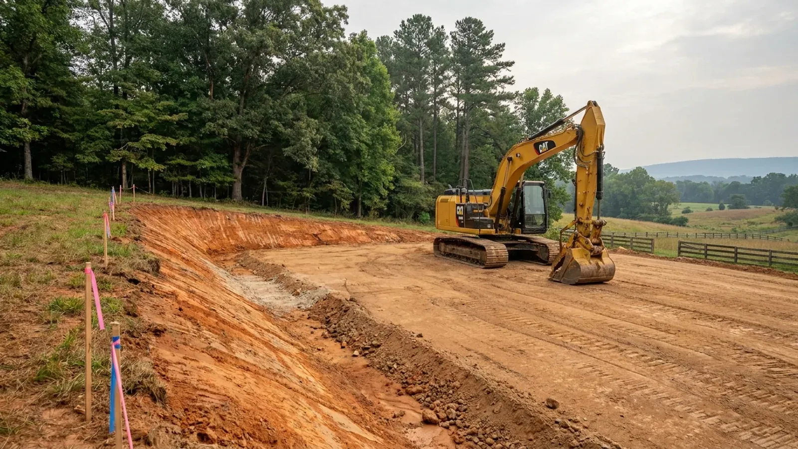
An excavator grading a compacted building pad on a cleared lot, with survey stakes, a drainage swale and a silt fence along the downhill edge.
Below the slab

The expensive surprises are in the ground, not the building

What moves a North Carolina budget is usually below grade, and the thing most often got wrong is which clay to worry about. Cecil — the red Piedmont clay everyone pictures, and the state soil — is kaolinitic and low shrink-swell; it does not heave. The soil that does is Iredell, formed over diabase and gabbro, which the USDA describes as vertic, very high shrink-swell, with a perched water table a foot or two down from December through April. The tell is colour: Cecil is red and Iredell is dark grey-brown, and they sit within a few miles of each other across the central Piedmont. West of that the question stops being clay and becomes slope, rock and colluvium; east of the fall line it becomes water, and in the Tidewater it becomes organic soil that subsides irreversibly once it is drained. Then the same ground decides the septic system, and North Carolina rewrote those rules recently enough that most of what is published about them is out of date. 15A NCAC 18E replaced the old subchapter on 1 January 2024 and was amended again on 1 June 2026: the site is classified on soil morphology — the word "percolation" does not appear anywhere in it — and there is no "provisionally suitable" any more, only suitable or unsuitable, on a single failed parameter. There is no statewide minimum lot size either; the area you need is derived from the soil result and then doubled, because a site that cannot fit both the initial field and its repair area is unsuitable. And the order matters more than people expect: the county health department's Improvement Permit and Construction Authorization come first, and the building permit is available on the strength of the Construction Authorization, not before it. One more thing that catches people: disturb more than an acre and you need an approved erosion and sedimentation control plan in hand before work starts, with penalties up to $5,000 a day, and a pad plus a drive plus a drainfield plus a laydown area crosses an acre faster than it sounds. So the site work, the foundation and the drainfield get resolved together rather than one at a time. We price the dirt before we price the building.

What a build looks like

Three stages every Wilkes County project passes through, from a raw parcel to a finished home. Site work first, because that is where the budget is decided.
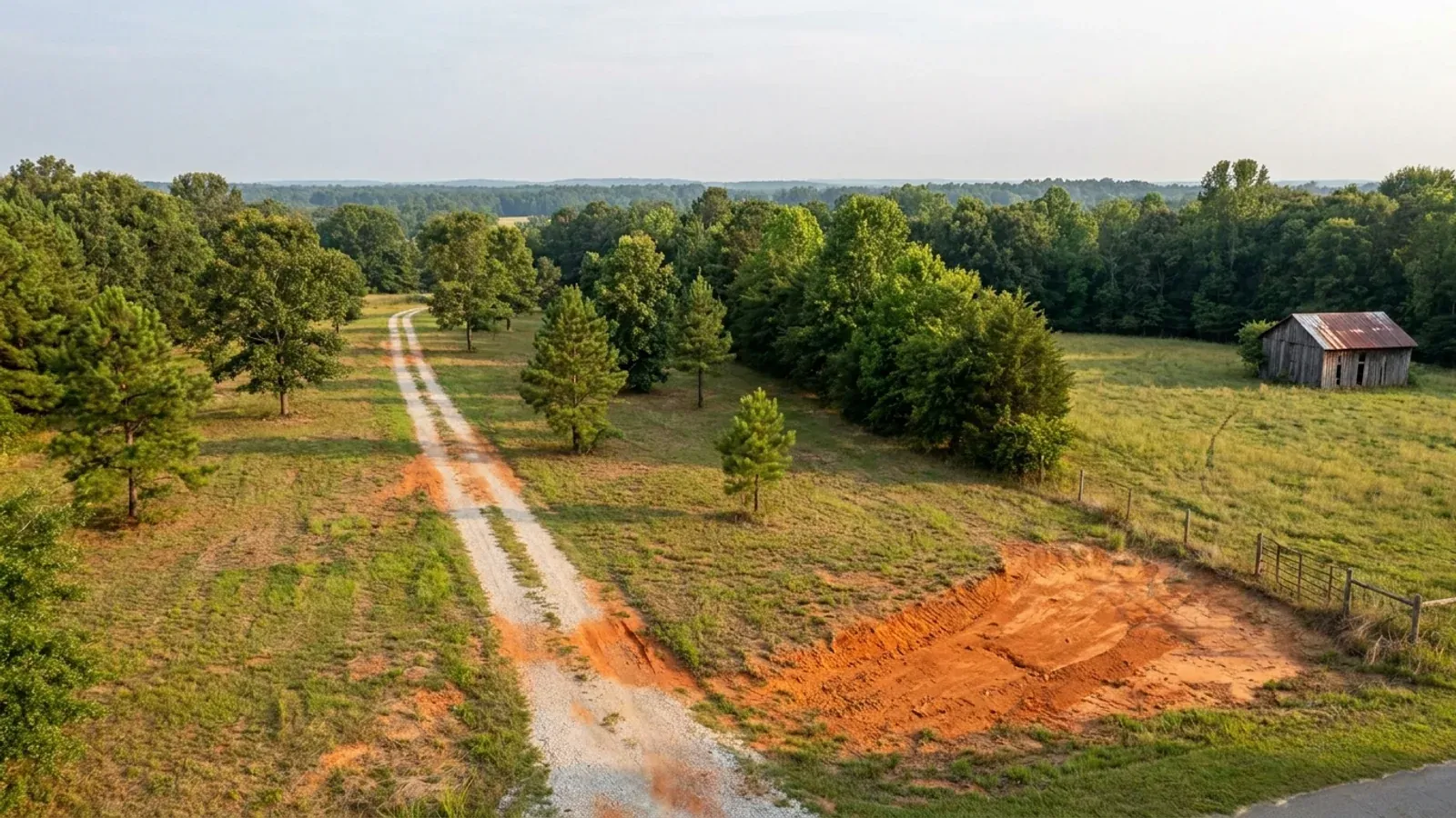
Aerial view of an undeveloped rural lot with cleared grass, a mixed oak, hickory and pine treeline, exposed red clay in one corner and a pale gravel access track.
Stage one

The parcel

Zoning, setbacks, flood zone and utility access get checked before anything is drawn.

An excavator grading a compacted building pad on a cleared lot, with survey stakes, a drainage swale and a silt fence along the downhill edge.
Stage two

Pad and permit

Clearing, grading and a compacted pad, while the septic authorization and the building submittal work through whichever offices cover your parcel.
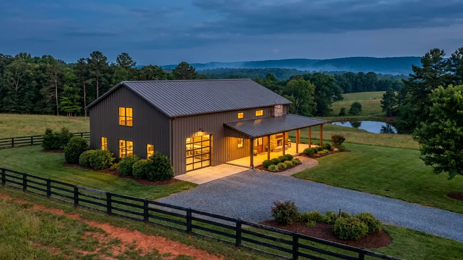
A finished barndominium at dusk with warm interior lighting glowing through its large windows.
Stage three

Frame to finish

Shell erected and dried in, then systems, insulation and interior finish through to CO.

Those are the rules where you are building in Wilkes County. Tell us what you want to build and we will draw it to them.

Where we build around Wilkes County

Wilkes County and the rural land around it. The buildable acreage for a project this size usually sits outside the town limits — which does not automatically put it under the county, because a town's zoning and building-code enforcement reach one to three miles past its limits into its extraterritorial jurisdiction. Inside the limits, in the ETJ, or in neither are three different answers to who issues your permit.

The Wilkes County service area, including the rural acreage outside the built-up edge, which is where the parcels big enough for a build like this usually sit. The map marks the territory we build in. It is not a branch location, and there is no office at this pin.

Nearby areas we build in

Others we cover nearby. Every North Carolina municipality sits inside a county — there are no independent cities here — but that does not settle who regulates a given parcel. A town's zoning, subdivision rules and building-code enforcement extend one to three miles beyond its limits, by population, into what the statute calls its extraterritorial jurisdiction; town taxes and town elections do not follow. So the office that issues the permit, what it charges and how the land is zoned can all differ from one card to the next, and the mailing address will not tell you which case you are in.

Building in Wilkes County: common questions

7 questions we get asked most often about building in Wilkes County. If yours is not on the list, ask it directly.

What wind speed do plans have to be drawn to in Wilkes County?
115 mph, flat, across the whole county — and the reason is worth understanding because the neighbouring counties work differently. Table R301.2(4) of the 2018 NC Residential Code, the edition in force, names 49 counties and then states that counties not listed take 115 mph. Wilkes is not named, so 115 is its figure, shared with 51 of the hundred counties including Wake, Mecklenburg, Guilford, Forsyth, Surry, Burke and Catawba. Separately, the same table marks twelve counties as a special mountain region with no county figure at all: in Alleghany, Ashe, Avery, Buncombe, Graham, Haywood, Jackson, Madison, Mitchell, Swain, Watauga and Yancey the design speed comes from Table R301.2(5) and the first-floor finish elevation of the actual building site, running 115 mph below 2,700 feet up to 150 mph at 4,500 feet and above. Alleghany and Ashe are directly north of Wilkes and both are on that list; Wilkes is not. So elevation does not change the number here, and two houses at opposite ends of the county are drawn to the same wind load. Wilkes is also absent from Table R301.2(7), the Seismic Design Category C list, and that table's note places every county not listed in Category A or B. Name the edition on the plans: the 2024 code has been adopted but has no effective date at all, and the two editions disagree about six counties' wind speeds and four counties' seismic category.
Does Wilkes County charge the permit on the shop bay?
It charges it, but at a fraction of the house rate, and the arithmetic runs the opposite way to most people's instinct. Wilkes County's inspections fee schedule charges new one- and two-family construction on HEATED area in brackets — $0.20 per square foot between 1,000 and 2,499 square feet, $0.24 from 2,500 to 4,999, $0.28 from 5,000 to 7,499, $0.32 from 7,500 to 9,999 and $0.36 at 10,000 and above. Unheated space then has its own lines: an unfinished basement or an attached garage at $0.04 per square foot, and a detached garage or storage building at $0.10 per square foot at 900 square feet and over, with a $90.00 minimum below that. In practice that means an unheated shop attached to the dwelling is billed at $0.04 a foot while the same shop standing thirty feet away is billed at $0.10 — so in Wilkes, attaching it is the cheaper permit. That is not a general North Carolina rule; Union County in the Charlotte ring charges $0.84 per square foot attached against $0.24 detached, which is exactly backwards from this. There is no state permit fee and no state fee basis. The other things worth knowing about this schedule: the blanket permit fee covers building, electrical, plumbing and mechanical together rather than as four separate permits, the minimum permit fee is $45.00, re-inspection trips beyond the first are $45.00 each, and the building permit fee is tripled for work started without one. The schedule's footer is dated 05/14/10, so confirm the current figures with the department before a budget depends on them.
Is my land in Wilkes County zoned, and can I put the shop up before the house?
The first half of that has a real answer and it is not the obvious one. Article III, Section 30 of the Wilkes County Zoning Ordinance provides that the ordinance applies to all lands within areas designated as official zone areas by the Board of County Commissioners. So zoning here is not automatically county-wide, and whether a particular tract is inside a designated zone area is a question for the Planning Department and the official zoning map before an offer is signed rather than after. Where the R-20A Residential-Agricultural district does apply, it permits single-family dwellings and any form of agriculture or horticulture, and its dimensional standards are 20,000 square feet of minimum lot area per dwelling unit, 100 feet of minimum mean lot width, a 40-foot front yard, 15-foot side yards, a rear yard of 20 percent of mean lot depth capped at 30 feet, and a 35-foot height limit, with accessory buildings kept out of any required front or side yard and at least ten feet from a property line. Section 31 exempts bona fide farms from the ordinance outright, including a farm house or tenant house in the same ownership as the farm and located on it. On the shop-first question: the zoning exemption for a farm building is one instrument and the building code is another, and the building code exempts no dwelling anywhere in North Carolina. G.S. 143-138(b4)(1) defines a farm building as any nonresidential building or structure, and G.S. 160D-903 grants the farm-residence zoning exemption only to a residence built to the residential code. A genuine farm building can go up on its own terms; the moment it becomes a place to sleep it is a dwelling and the code applies.
Are there riparian buffers on a creek in Wilkes County?
Not from the state, and that is a real difference from the Triangle and the Triad. North Carolina has five basin-specific riparian buffer programmes, all of them 50 feet in two zones — 30 feet undisturbed and 20 feet of stable vegetation — and they cover the Neuse including the Falls of the Neuse watershed, the Tar-Pamlico, the Jordan Lake watershed, Randleman Lake, and the Catawba mainstem below Lake James together with its mainstem lakes. The Yadkin, which is the basin Wilkes County sits in, is on none of those lists. In a Neuse or Jordan county a blue line drawn on the NRCS soil survey or the USGS National Map puts a 50-foot buffer on your land whether or not you can see a stream, and the rule can stop a building permit; in Wilkes there is no equivalent state instrument. What does apply is local and statewide rather than basin-specific: the county's water supply watershed ordinance and watershed map, which under 15A NCAC 02B .0623 has to meet or exceed the state floor, and the erosion and sediment control requirement that kicks in at more than one acre of land disturbance. Since buffer rules are defined by river basin rather than by county boundary, the operative question on any specific parcel is which system it drains to, and NC DEQ publishes the basin boundaries.
Who do I actually get the permit from — the county or a town?
For most of the county, Wilkes County Inspections at 110 North Street in Wilkesboro. 57,729 of the county's 66,233 people live in unincorporated Wilkes, and only four incorporated places sit inside it: North Wilkesboro at 4,369, Wilkesboro at 3,618, Ronda at 447 and a 70-person part of Elkin that crosses in from Surry County. Because all four are under 10,000 people, the extraterritorial ceiling under G.S. 160D-202 here is one mile — the smallest tier there is, against three miles around a city of 25,000 or more. The county states the rule itself in its permit instructions: if you are in a town jurisdiction or a one-mile ETJ, you contact the Town of Wilkesboro or the Town of North Wilkesboro rather than the county. Inside that mile a town enforces its zoning, its subdivision regulation and the building code, while town property tax, town voting, town police jurisdiction and town business licensing stop at the corporate line, so ETJ land is regulated by a board its owner cannot vote for; G.S. 160D-307 partially answers that by putting extraterritorial residents on the town's planning board and board of adjustment. The boundary is on the town's own zoning map and recorded with the register of deeds. Note also that even outside any town, the county's own sequence puts the Planning Department first: watershed and zoning permit and flood damage prevention permit, then Environmental Health for the septic and well, then Inspections between 8:30 and 9:30 in the morning.
Is there still cheap land in Wilkes, and how big are the parcels?
Yes, and the parcel-size distribution is one of the healthier ones in the state for this kind of build. The 2022 Census of Agriculture records 871 farms in Wilkes County across 114,778 acres, which is 23.8 percent of the county's land, at an average farm of 132 acres and a median of 55 — the eleventh largest count of farms of any North Carolina county, and a median comfortably above the statewide median of 48 acres. The gap between the 132-acre average and the 55-acre median is narrow by North Carolina standards, which is the useful signal: it means there is a real middle to this market rather than a handful of enormous operations and nothing else. The county is also large and thinly settled — 754 square miles at 88 people per square mile — and population is essentially flat, up 0.4 percent between 2020 and 2025, while net migration over the same period was +1,839. The ground is foothills: sloping, with the Yadkin and its tributaries in the bottoms and the Brushy Mountains along the southern edge, so the two site questions that decide a Wilkes budget are the septic evaluation on a slope and the driveway cut, both of which push a project toward the one-acre erosion threshold faster than a flat lot would.
Which Wilkes County building-code rules do I need to look up separately?
None — the building code itself is the same document everywhere in the state, and it is worth saying because the opposite is implied nearly everywhere in this trade. G.S. 143-138(e) provides that the North Carolina State Building Code shall apply throughout the State from the time of its adoption, and there is no general power for a county or a town to change it. The only two instruments a local government may adopt of its own are a fire prevention code, which needs Residential Code Council approval and may not reach one- and two-family dwellings beyond what the Residential Code prescriptively requires, and floodplain management regulations. What genuinely varies, and what this page is actually about, is a different list: the county zoning ordinance and whether it reaches your parcel at all, the watershed ordinance and map, the fee schedule, the health department, extraterritorial jurisdiction, floodplain regulation, and the wind and seismic figures published county by county inside the one statewide code. Several figures in that code are the same in every county and are useful to know: a flat 20 psf roof live load; no ground snow load column at all, because Section R301.2.3 is deleted, which surprises people building in the foothills; a 12-inch frost line depth, with Section R403.3 frost-protected shallow foundations deleted, so the insulate-instead-of-dig route is not available; and termite protection required in all of North Carolina, with cold-formed steel framing deleted from the accepted methods of providing it — so a steel-framed building here still needs chemical treatment, a baiting system, pressure-treated wood or naturally durable wood, exactly like a wood-framed one.

Building in Wilkes County?

Start with the plan. Tell us what you want to build and we will draw it, then confirm which office issues the permit for your parcel, what it will let you put there, and what wind load it has to meet. That conversation costs nothing.