Barndominium Builders in Surry County, NC
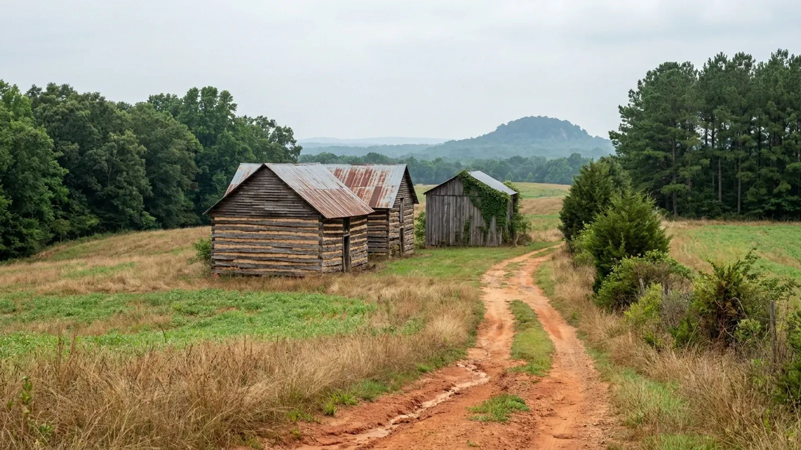
Surry County is the north-western corner of the Triad, on the Virginia line, where the Piedmont stops being flat and starts climbing toward the Blue Ridge escarpment. Mount Airy is the largest town, Dobson is the county seat and the permitting centre, and Elkin sits on the Yadkin at the Wilkes line. Some 72,287 people are spread across 533 square miles at 136 to the square mile, against Forsyth County's 984 next door, and 31 percent of the county is in farms: 933 of them, on 105,791 acres, with a median of 46 acres. This is wine country as much as it is tobacco country, and the county's own Development Ordinance carries winery, tasting-room and cooperative-winery standards written around the independent vineyards of Surry County. It is also genuinely hilly. Pilot Mountain, the quartzite knob visible for fifty miles, is a monadnock — an isolated survivor of an eroded range — and the ground around it is transitional rather than Piedmont-flat. Two things follow for a build here. Surry prices heated and unheated space five to one on its own permit schedule, so a barndominium's shop bay is the cheap half of the permit. And on sloping ground it is the septic soil evaluation, not the zoning setback, that decides where the building actually goes.
Surry County at a glance
- County
- Surry County
- City rules outside city limits
- Surry County zoning does not apply inside Dobson, Elkin, Mount Airy or Pilot Mountain, or inside those four towns' established extraterritorial jurisdictions.
- Population
- 72,287
- ZIP codes
- 27007, 27017, 27024, 27030, 27041, 27047, 28621, 28676
- Site visits
- Same week for most of the county
Building conditions in Surry County
The building code does not change at a county line here. Under § 143-138(e) the North Carolina State Building Code applies throughout the state, and a city or county may adopt only a fire prevention code and floodplain regulations of its own — there is no general local amendment power, so there are no county amendments to look up. The edition in force is still the 2018 NC Residential Code, effective 1 January 2019; the 2024 edition has been delayed three times and carries no effective date at all. What genuinely differs is who issues the permit and inspects the work, what that office charges, how the parcel is zoned, what the local floodplain ordinance requires of the foundation — and two design numbers the code publishes county by county, the ultimate design wind speed and the seismic design category. The rest of Table R301.2 is set once for everyone: a flat 20 psf roof live load, a 12-inch frost line, Moderate weathering, and termite protection required everywhere in the state with no exemption. There is no ground snow load column in the residential code at all.
Surry County Inspection Fees, effective 1 July 2026, co.surry.nc.us/document_center/Inspections/2026 Fee List_.pdf
Surry County Development Ordinance, Subchapter 154.018 and the definition of TALL BUILDINGS OR STRUCTURES at Subchapter 154.003, adopted 17 April 2023, co.surry.nc.us
Surry County Development Ordinance, buffer provisions, adopted 17 April 2023, co.surry.nc.us
Surry County Development Ordinance, Subchapter 154.006-02, adopted 17 April 2023, co.surry.nc.us; G.S. 160D-202
Surry County Development Ordinance, Subchapter 154.002-04, adopted 17 April 2023, co.surry.nc.us; N.C.G.S. § 160D-903
N.C. Department of Natural and Cultural Resources, North Carolina Highway Historical Marker M-26, Pilot Mountain, dncr.nc.gov/blog/2024/01/17/pilot-mountain-m-26
Also worth knowing before you build in Surry County
- A house on vineyard land carves a homesite out of present-use value
- Surry's Development Ordinance defines and regulates wineries, winery tasting rooms and a cooperative winery use built around the independent vineyards of the county — the ordinance vocabulary of a place where grapes are a real crop. Vineyard land is usually enrolled in present-use value taxation, and building a dwelling on it has a tax consequence people miss. Horticultural land qualifies on at least one tract of 5 acres in actual production; agricultural land needs 10 acres and forestland 20. But the Department of Revenue's own guide is explicit that homesites are not acreage in production and are valued at market value — and that while most counties initially allow one acre for a homesite, no statute fixes that figure at one acre.
- Watershed and floodplain permits are separate line items here
- Surry County's Development Schedule of Fees, adopted 9 June 2025 and effective 1 July 2025, lists a residential zoning permit at $30, a watershed protection permit at $25, a watershed protection occupancy permit at a further $25, and a floodplain development permit at $50. A minor subdivision plat review is $50 and a major is $75; a Board of Adjustment variance or appeal is $325. None of these is large, but they are separate approvals with separate triggers, and the county's Watershed Overlay District is real acreage rather than a formality.
- Surry is one of the 39 counties in the Helene declaration
- Federal disaster declaration DR-4827-NC, declared 28 September 2024 for an incident period of 25 September to 18 December 2024, designated 39 North Carolina counties plus the Eastern Band of Cherokee Indians for both Individual and Public Assistance. Surry is on that list; most of the Triad is not. That surprises people who read the declaration as a purely mountain event. The practical consequence for someone buying land here is narrow and worth stating plainly: stream channels and floodplain information can change after an event of that size, so the county floodplain administrator and the state's flood risk information at flood.nc.gov are the right places to check a parcel before it is under contract.
- More farms than any Triad county but Randolph
- The 2022 Census of Agriculture counts 933 farms in Surry County on 105,791 acres — 31.0 percent of the county — averaging 113 acres with a median of 46. Only Randolph, with 1,238, has more farms in the Triad; Forsyth next door has 482 on 12.6 percent of its land. Surry also grows slowly, from 71,371 in the 2020 census base to an estimated 72,287 in July 2025, up 1.3 percent, at 136 people per square mile against Forsyth's 984. Many small farms plus flat population is the combination that keeps land priced like land rather than like lots.
Surry County Development Ordinance, winery and cooperative winery use standards, adopted 17 April 2023, co.surry.nc.us; NC Department of Revenue, Present-Use Value Program Guide, August 2023 Edition, ncdor.gov
Surry County Development Schedule of Fees, adopted 9 June 2025, effective 1 July 2025, co.surry.nc.us/document_center/Planning/Forms/Fee Schedule.pdf
OpenFEMA DisasterDeclarationsSummaries, disaster 4827, fema.gov/api/open/v2/DisasterDeclarationsSummaries; NC Flood Risk Information System, flood.nc.gov
USDA NASS, 2022 Census of Agriculture county data; U.S. Census Bureau, Vintage 2025 county population estimates and 2025 Gazetteer county file, census.gov
The expensive surprises are in the ground, not the building
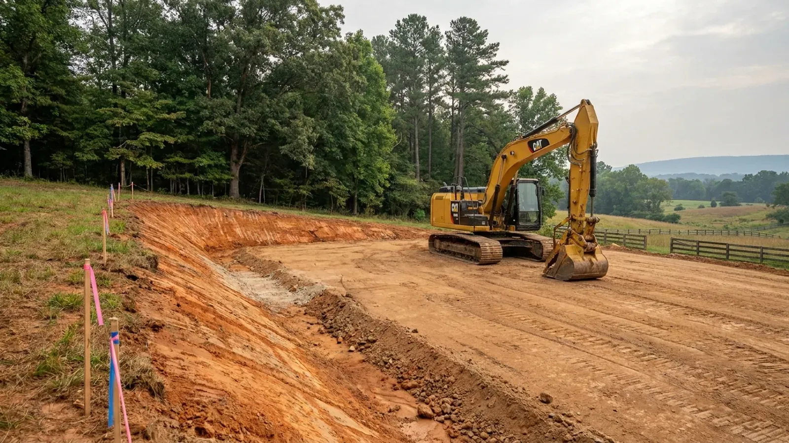
What moves a North Carolina budget is usually below grade, and the thing most often got wrong is which clay to worry about. Cecil — the red Piedmont clay everyone pictures, and the state soil — is kaolinitic and low shrink-swell; it does not heave. The soil that does is Iredell, formed over diabase and gabbro, which the USDA describes as vertic, very high shrink-swell, with a perched water table a foot or two down from December through April. The tell is colour: Cecil is red and Iredell is dark grey-brown, and they sit within a few miles of each other across the central Piedmont. West of that the question stops being clay and becomes slope, rock and colluvium; east of the fall line it becomes water, and in the Tidewater it becomes organic soil that subsides irreversibly once it is drained. Then the same ground decides the septic system, and North Carolina rewrote those rules recently enough that most of what is published about them is out of date. 15A NCAC 18E replaced the old subchapter on 1 January 2024 and was amended again on 1 June 2026: the site is classified on soil morphology — the word "percolation" does not appear anywhere in it — and there is no "provisionally suitable" any more, only suitable or unsuitable, on a single failed parameter. There is no statewide minimum lot size either; the area you need is derived from the soil result and then doubled, because a site that cannot fit both the initial field and its repair area is unsuitable. And the order matters more than people expect: the county health department's Improvement Permit and Construction Authorization come first, and the building permit is available on the strength of the Construction Authorization, not before it. One more thing that catches people: disturb more than an acre and you need an approved erosion and sedimentation control plan in hand before work starts, with penalties up to $5,000 a day, and a pad plus a drive plus a drainfield plus a laydown area crosses an acre faster than it sounds. So the site work, the foundation and the drainfield get resolved together rather than one at a time. We price the dirt before we price the building.
What we build in Surry County
All nine services are available in Surry County. What a build costs depends far more on the parcel than on square footage, so we price against your land rather than publishing a rate card.
Barndominium Kits
Engineered shell packages drawn to your own county's wind and seismic numbers under the 2018 NC Residential Code, with the exclusions written down.
Custom Plans
Barndominium floor plans drawn for your parcel, your county's design figures and the septic system your bedroom count will actually need.
Metal Homes
Metal building homes finished to live in — envelope, insulation, condensation control and interior finish specified to your NC county's climate zone.
What a build looks like
Three stages every Surry County project passes through, from a raw parcel to a finished home. Site work first, because that is where the budget is decided.
The parcel
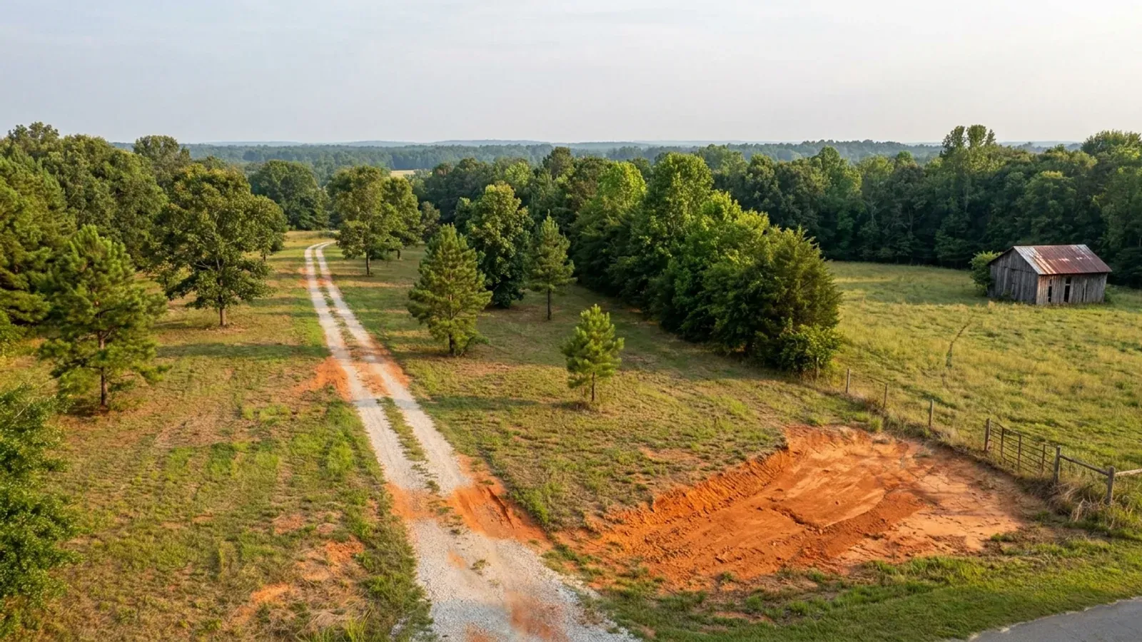
Zoning, setbacks, flood zone and utility access get checked before anything is drawn.
Pad and permit
Clearing, grading and a compacted pad, while the septic authorization and the building submittal work through whichever offices cover your parcel.
Frame to finish
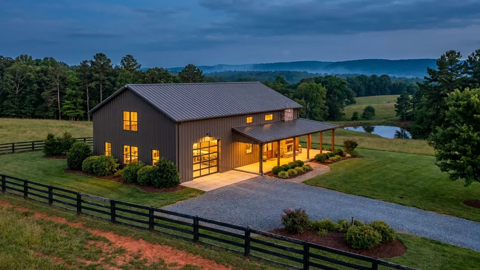
Shell erected and dried in, then systems, insulation and interior finish through to CO.
Those are the rules where you are building in Surry County. Tell us what you want to build and we will draw it to them.
Where we build around Surry County
Surry County and the rural land around it. The buildable acreage for a project this size usually sits outside the town limits — which does not automatically put it under the county, because a town's zoning and building-code enforcement reach one to three miles past its limits into its extraterritorial jurisdiction. Inside the limits, in the ETJ, or in neither are three different answers to who issues your permit.
Keep reading
The questions that usually come next once you know what Surry County allows.
Barndominium Cost Guide
What the named, dated sources actually publish for North Carolina, with a calculator built on the same figures.
Read itIs It Legal in North Carolina?
Why a "farm building" is defined as nonresidential, and the ten-acre right § 160D-903(b) gives you in exchange for building to the code.
Read itHow Long Does It Take?
Census build-duration data, and what actually sets the permit clock where you are building.
Read itNearby areas we build in
Others we cover nearby. Every North Carolina municipality sits inside a county — there are no independent cities here — but that does not settle who regulates a given parcel. A town's zoning, subdivision rules and building-code enforcement extend one to three miles beyond its limits, by population, into what the statute calls its extraterritorial jurisdiction; town taxes and town elections do not follow. So the office that issues the permit, what it charges and how the land is zoned can all differ from one card to the next, and the mailing address will not tell you which case you are in.
Building in Surry County: common questions
9 questions we get asked most often about building in Surry County. If yours is not on the list, ask it directly.
Does Surry County have zoning?
Will the mountain ridge ordinance stop me building?
What will the county permit cost in Surry County?
What are Surry County's design numbers?
Who issues the permit — Surry County or the town?
There is a creek on the land. What does that change?
Will my parcel pass for septic?
Do I need an erosion and sedimentation control plan?
Can I keep my land in present-use value if I build on it?
Building in Surry County?
Start with the plan. Tell us what you want to build and we will draw it, then confirm which office issues the permit for your parcel, what it will let you put there, and what wind load it has to meet. That conversation costs nothing.