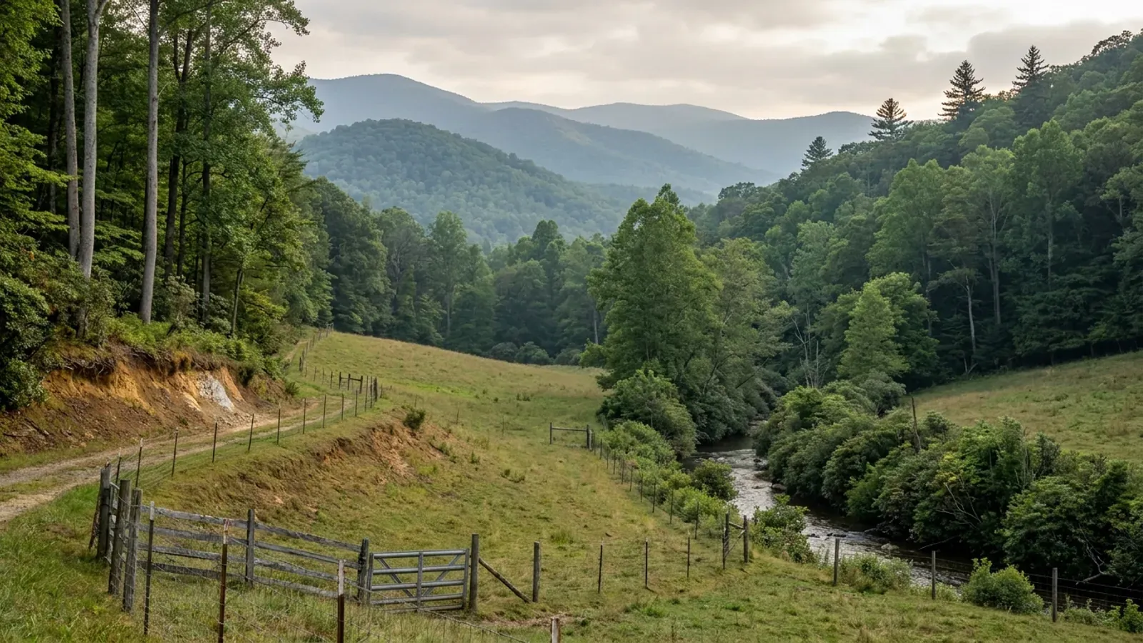
A small sloping hayfield and pasture on a mountain valley floor with contour fencing, a rhododendron-lined creek and rounded forested ridges receding in blue-grey layers behind.
McDowell County 2018 NC Residential Code, statewide

Barndominium Builders in McDowell County, NC

McDowell County is where the Blue Ridge escarpment actually shows itself. Old Fort sits at the bottom of the grade at the head of the Catawba valley; the interstate climbs 1,400 feet of mountain from there to the Buncombe line in a few miles; Marion is the seat out on the foothill floor; and Lake James backs up against the Burke line to the east under the Linville Gorge rim. That transition is the county's defining physical fact and it runs through everything a buyer needs to know here. It is why McDowell has the lowest farmland share of the three counties in this corner — 298 farms on 17,041 acres, just 6.1 percent of a 440-square-mile county, with Pisgah National Forest and the gorge taking much of the rest. It is why slope is the first thing a site plan has to answer. And it is why McDowell reads differently in the building code than its neighbours do: this is not one of the twelve counties that set wind speed by elevation, and it is not on the Seismic Design Category C list either, so unlike Buncombe, Haywood, Madison and Yancey around it, McDowell has one published number and it is the code's floor. The county holds 45,198 people at 103 to the square mile on the July 2025 estimate, and its planning department runs an unusual set of instruments — a zoning ordinance you can petition your way into, and a Lake James Protection Ordinance that governs the shoreline down to the individual tree.

McDowell County at a glance

County
McDowell County
City rules outside city limits
McDowell splits the two offices in a way most counties do not: county Planning stops at the Marion and Old Fort town lines, but county Building Inspections stops only at Marion's.
Population
45,198
ZIP codes
28752, 28761, 28762
Site visits
Same week from Old Fort to Lake James

Building conditions in McDowell County

The building code does not change at a county line here. Under § 143-138(e) the North Carolina State Building Code applies throughout the state, and a city or county may adopt only a fire prevention code and floodplain regulations of its own — there is no general local amendment power, so there are no county amendments to look up. The edition in force is still the 2018 NC Residential Code, effective 1 January 2019; the 2024 edition has been delayed three times and carries no effective date at all. What genuinely differs is who issues the permit and inspects the work, what that office charges, how the parcel is zoned, what the local floodplain ordinance requires of the foundation — and two design numbers the code publishes county by county, the ultimate design wind speed and the seismic design category. The rest of Table R301.2 is set once for everyone: a flat 20 psf roof live load, a 12-inch frost line, Moderate weathering, and termite protection required everywhere in the state with no exemption. There is no ground snow load column in the residential code at all.

Build conditions for McDowell County , North Carolina : ultimate design wind speed 115 mph. BUILD CONDITIONS MCDOWELL COUNTY, NCMcDowell County2018 NC RESIDENTIAL CODEULTIMATE DESIGN WIND SPEED115 mphMcDowell is unlisted in Table R301.2(4) of the 2018 NC Residential Code and takes the default 115mph ultimate design wind speed. It is not one of the twelve counties that set wind speed by…ZONING · R-A1 OR R-A2 RESIDENTIAL-AGRICULTURA…One acre in R-A1 and R-A2; three acr…Section 501 of the McDowell County Zoning Ordinance applies it toall lands designated on the Official Zoning Map of McDowell County.…WHO ISSUES THE PERMITMcDowell County Building Inspections…County Services Building, 60 East Court Street, Marion, NC 28752.Building Inspections is on 828-652-7030 and Planning on…
Build conditions for McDowell County, drawn from the sourced facts on this page. Every figure above is cited in the quick-facts panel below, with its source and vintage.
McDowell has an actual wind number, and its mountain neighbours do not
Table R301.2(4) of the 2018 NC Residential Code names 49 counties and gives every other county 115 mph. Twelve of the named ones — Alleghany, Ashe, Avery, Buncombe, Graham, Haywood, Jackson, Madison, Mitchell, Swain, Watauga and Yancey — are not given a figure at all but marked special mountain region, and their design speed is resolved from the first floor's elevation through Table R301.2(5), running as high as 150 mph. McDowell is not on either list. It is unlisted, so it takes the default 115 mph across the whole county, and Table R301.2(7) leaves it in Seismic Design Category A or B rather than the C that Buncombe, Haywood and Madison carry. Cross the Buncombe line at the top of the Old Fort grade and both figures change. That is a genuinely useful thing to know before you compare quotes across the county line, because a plan engineered for a Buncombe ridge is engineered for a different building than the same plan in McDowell.

2018 NC Residential Code, Tables R301.2(4), R301.2(5) and R301.2(7), ncosfm.gov

The county fee schedule prices finished and unfinished space at different rates
McDowell County's permit fee schedule, effective 1 July 2023, charges a new house at 50 cents per square foot of finished area and new unfinished area, additions or renovations at 40 cents per square foot. The schedule names what counts as the unfinished side: basement, attached garage, attached carport, bonus and storage. That is a genuinely different basis from the counties around it — not heated area only, and not one flat rate on everything under roof, but two rates on one building. On a 3,000 square foot barndominium that is half living space and half shop, the split is the whole point of the design and the county prices it accordingly. A detached garage, workshop, storage building or boathouse is its own permit at a $160 minimum plus 25 cents per square foot over 400 square feet on gross area. Residential trade permits — electrical, plumbing, mechanical, gas — are $100.00 each. A floodplain permit in a special flood hazard area is $100.00. Working without a permit is $200.00 on top of the permit fee. These are permit fees, which the county publishes; a cost to build is not something any North Carolina agency publishes reliably.

McDowell County Inspections Department Permit Fee Schedule, effective July 1 2023, mcdowellnc.gov/departments/building-inspections

You can petition your way into zoning here — 640 acres and ten owners
Section 602 of the McDowell County Zoning Ordinance is headed Conversion to a Zoned District and opens by acknowledging something most ordinances do not: from time to time a group of citizens may desire the traditional Euclidean zoning system rather than remaining in an unzoned area. It then sets the mechanism. Such a group applies to the Board of Commissioners to amend the Use District Map, and the application must come from landowners in a minimum area of 640 acres containing at least ten parcels under separate ownership — unless the area is contiguous to an existing zoned area, in which case those minimums do not apply. The application must carry a signed petition from at least half the landowners in the area, who must also own at least half the land area to be converted. Section 501 confirms the other half of the picture: the ordinance applies to all lands as designated on the Official Zoning Map. So in McDowell the correct first question is not what is my district, it is whether the parcel is on the map at all — and the county publishes a GIS zoning layer you can toggle by address to find out.

McDowell County Zoning Ordinance, Sections 501 Territorial Application and 602 Conversion to a Zoned District, mcdowellnc.gov/departments/planning/ordinances

Lake James is bound by two shoreline rules from two different governments
The state rule is 15A NCAC 02B .0614, which maintains riparian buffers along the Catawba River mainstem below Lake James and along the mainstem lakes from and including Lake James to the South Carolina border. The rule names the seven mainstem lakes — Lake James, Lake Rhodhiss, Lake Hickory, Lookout Shoals Lake, Lake Norman, Mountain Island Lake and the North Carolina portion of Lake Wylie — and sets a combined 50-foot buffer in two zones, an undisturbed 30-foot Zone 1 and a 20-foot Zone 2 where grading and revegetating are allowed provided Zone 1's vegetation is not compromised. On a lake the buffer is measured from full pond level, which the rule defines as Duke Energy's project water level. The second rule is McDowell County's own Lake James Protection Ordinance, adopted under Chapter 160D and replacing the county's 1996, 2003 and 2016 versions. Its Section 203 applies it to all land within 250 feet of the Reference Line — the Duke Power Lake James project boundary at 1,200 feet above mean sea level. Worth knowing which is which, because the county ordinance is the stricter of the two on structures.

15A NCAC 02B .0614, Catawba River Basin: Protection and Maintenance of Existing Riparian Buffers, reports.oah.state.nc.us; Lake James Protection Ordinance of McDowell County, North Carolina, Sections 202 and 203, mcdowellnc.gov/departments/planning/ordinances

On Lake James the house sets back 75 feet and every six-inch tree is protected
The Lake James Protection Ordinance is unusually specific, and the numbers decide a lot plan. A natural woodland buffer must be maintained where it exists within 100 feet of the Reference Line. Within 50 feet of that line all trees, shrubs and ground cover are protected vegetation; clearing, thinning, pruning and planting must be done with hand tools and burning is not permitted; the forest floor humus, leaf litter and soil must stay undisturbed except for foot paths and permitted clearing; and existing trees six inches in diameter or greater may only be removed with Planning Department approval where they are hazardous, dead, diseased or dying. Accessory structures such as sheds and gazebos — expressly not automobile garages — may sit within that 50 feet only if the footprint is 150 square feet or less. Primary structures set back at least 75 feet from the Reference Line, reduced to 65 feet in eight named developments platted between 1996 and 2016 unless the lot slope exceeds 2:1, in which case it returns to 75. Roads and driveways also set back 75 feet. New lots under the ordinance need 1.5 acres and 150 feet of width at the Reference Line. The civil penalty runs from $500 to $5,000 per occurrence, and the removal of each protected tree counts as a separate violation.

Lake James Protection Ordinance of McDowell County, North Carolina, Sections 205(B), 401, 401.01, 401.04, 401.05 and 401.07, mcdowellnc.gov/departments/planning/ordinances

The lowest farmland share of the three counties, because the forest has most of it
The 2022 Census of Agriculture records 298 farms in McDowell County on 17,041 acres — 6.1 percent of the county — averaging 57 acres with a median of 35. Set that beside Madison at 14.9 percent farmland and Haywood at 13.9, and the difference is not agricultural economics; it is who owns the land. Pisgah National Forest, the Linville Gorge Wilderness on the northern boundary, the Blue Ridge Parkway corridor and the state park land around Lake James account for a large share of a 440-square-mile county, which is also why McDowell holds 45,198 people at 103 to the square mile and grew only 1.4 percent from the 2020 census base to the July 2025 estimate. For a buyer that cuts both ways: less private land to choose from, and a much higher proportion of what is available backing onto ground that will never be developed.

USDA NASS, 2022 Census of Agriculture county data, nass.usda.gov; U.S. Census Bureau, Vintage 2025 county population estimates and 2025 Gazetteer county file, census.gov

Also worth knowing before you build in McDowell County

The state buffer rule starts at Lake James, not above it
This is a distinction that gets misstated constantly and it matters in exactly one county — this one. 15A NCAC 02B .0614 is not a whole-basin buffer. Its own purpose clause limits it to the Catawba River mainstem below Lake James and to the mainstem lakes from and including Lake James down to the South Carolina line. The Catawba rises in the mountains above Old Fort at the far western end of McDowell and runs east through the county before it reaches the lake, and that upper stretch is upstream of the rule's reach. So two parcels in the same county, both on the Catawba, can sit on opposite sides of a state riparian buffer requirement. That does not make the upper river unregulated — the county's watershed ordinance, the floodplain rules and the state's one-acre erosion and sedimentation requirements all still apply — but it does mean the 50-foot two-zone buffer is a Lake James question here, not a Catawba question.

15A NCAC 02B .0614(1) Purpose and (4) Riparian buffer, reports.oah.state.nc.us

One county employee is both the Permit Specialist and the Floodplain Administrator
McDowell County Building Inspections states that it administers both the North Carolina building codes and the state-mandated National Flood Insurance Program regulations, and it lists the Permit Specialist and Floodplain Administrator as the same post. That is a small structural fact with a practical consequence: the flood-zone question and the permit question are answered in one conversation rather than routed between two departments. The county's published fee schedule carries a $100.00 floodplain permit for work in a special flood hazard area, which tells you the county treats it as a distinct permit rather than a checkbox. McDowell was one of 39 North Carolina counties, plus the Eastern Band of Cherokee Indians, designated under DR-4827-NC when Hurricane Helene was declared on 28 September 2024, and Old Fort was among the places most severely affected. If you are buying near the Catawba, Curtis Creek, Buck Creek or the Mud Creek bottoms, ask that office for the parcel's flood zone in writing and cross-check it against the state's own maps at flood.nc.gov before you fix a finished floor elevation, because effective and preliminary maps are not always the same document.

McDowell County Building Inspections, mcdowellnc.gov/departments/building-inspections; McDowell County Inspections Department Permit Fee Schedule effective July 1 2023; FEMA, DR-4827-NC disaster declaration, OpenFEMA DisasterDeclarationsSummaries; NC Floodplain Mapping Program, flood.nc.gov

Two offices, two boundaries — and Old Fort sits in the gap
McDowell draws its municipal lines differently for planning and for building inspection, and it is the only thing about the permitting here that reliably catches people out. The Planning Department states that it enforces its ordinances only within McDowell County limits and directs anyone inside either municipal boundary to the City of Marion on 828-652-3551 or the Town of Old Fort on 828-668-4244. Building Inspections states only that all activities within the city limits of Marion are permitted through the City of Marion Building Inspections Department. Old Fort is not named in that second sentence. The practical reading for an Old Fort parcel is that the land-use approvals come from the town and the building permit and inspections come from the county — two offices for one project. Confirm it on the specific parcel before you apply rather than after, because a permit issued by the wrong office is not a permit.

McDowell County Planning Department, mcdowellnc.gov/departments/planning; McDowell County Building Inspections, mcdowellnc.gov/departments/building-inspections
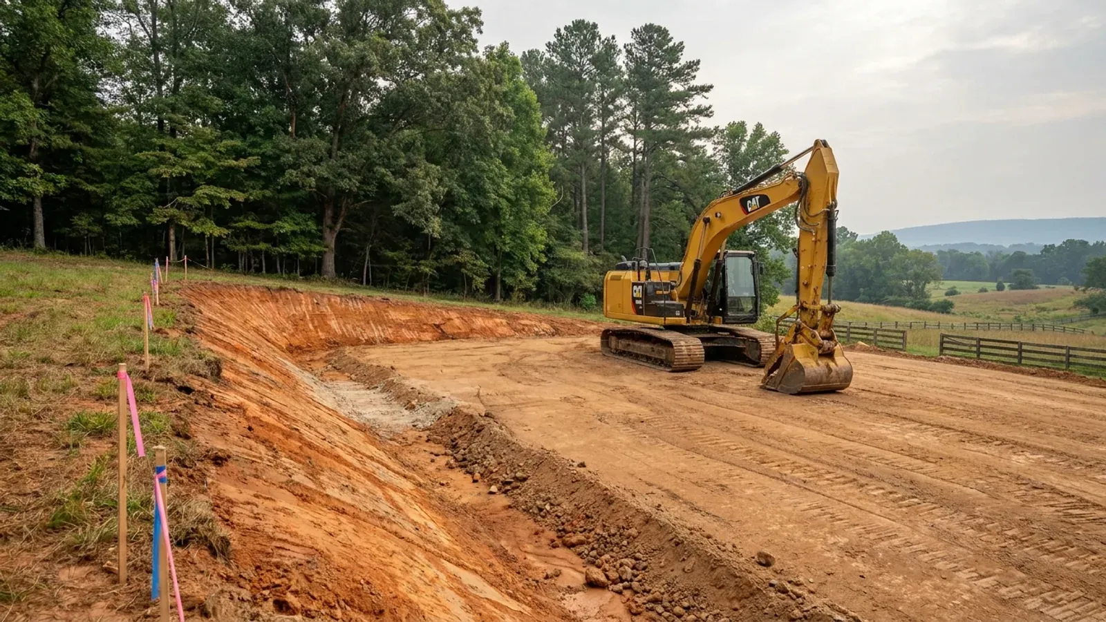
An excavator grading a compacted building pad on a cleared lot, with survey stakes, a drainage swale and a silt fence along the downhill edge.
Below the slab

The expensive surprises are in the ground, not the building

What moves a North Carolina budget is usually below grade, and the thing most often got wrong is which clay to worry about. Cecil — the red Piedmont clay everyone pictures, and the state soil — is kaolinitic and low shrink-swell; it does not heave. The soil that does is Iredell, formed over diabase and gabbro, which the USDA describes as vertic, very high shrink-swell, with a perched water table a foot or two down from December through April. The tell is colour: Cecil is red and Iredell is dark grey-brown, and they sit within a few miles of each other across the central Piedmont. West of that the question stops being clay and becomes slope, rock and colluvium; east of the fall line it becomes water, and in the Tidewater it becomes organic soil that subsides irreversibly once it is drained. Then the same ground decides the septic system, and North Carolina rewrote those rules recently enough that most of what is published about them is out of date. 15A NCAC 18E replaced the old subchapter on 1 January 2024 and was amended again on 1 June 2026: the site is classified on soil morphology — the word "percolation" does not appear anywhere in it — and there is no "provisionally suitable" any more, only suitable or unsuitable, on a single failed parameter. There is no statewide minimum lot size either; the area you need is derived from the soil result and then doubled, because a site that cannot fit both the initial field and its repair area is unsuitable. And the order matters more than people expect: the county health department's Improvement Permit and Construction Authorization come first, and the building permit is available on the strength of the Construction Authorization, not before it. One more thing that catches people: disturb more than an acre and you need an approved erosion and sedimentation control plan in hand before work starts, with penalties up to $5,000 a day, and a pad plus a drive plus a drainfield plus a laydown area crosses an acre faster than it sounds. So the site work, the foundation and the drainfield get resolved together rather than one at a time. We price the dirt before we price the building.

What a build looks like

Three stages every McDowell County project passes through, from a raw parcel to a finished home. Site work first, because that is where the budget is decided.
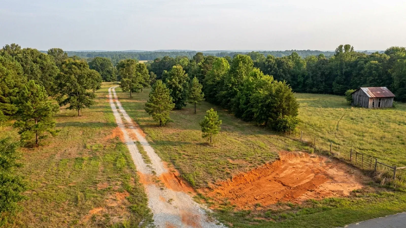
Aerial view of an undeveloped rural lot with cleared grass, a mixed oak, hickory and pine treeline, exposed red clay in one corner and a pale gravel access track.
Stage one

The parcel

Zoning, setbacks, flood zone and utility access get checked before anything is drawn.

An excavator grading a compacted building pad on a cleared lot, with survey stakes, a drainage swale and a silt fence along the downhill edge.
Stage two

Pad and permit

Clearing, grading and a compacted pad, while the septic authorization and the building submittal work through whichever offices cover your parcel.
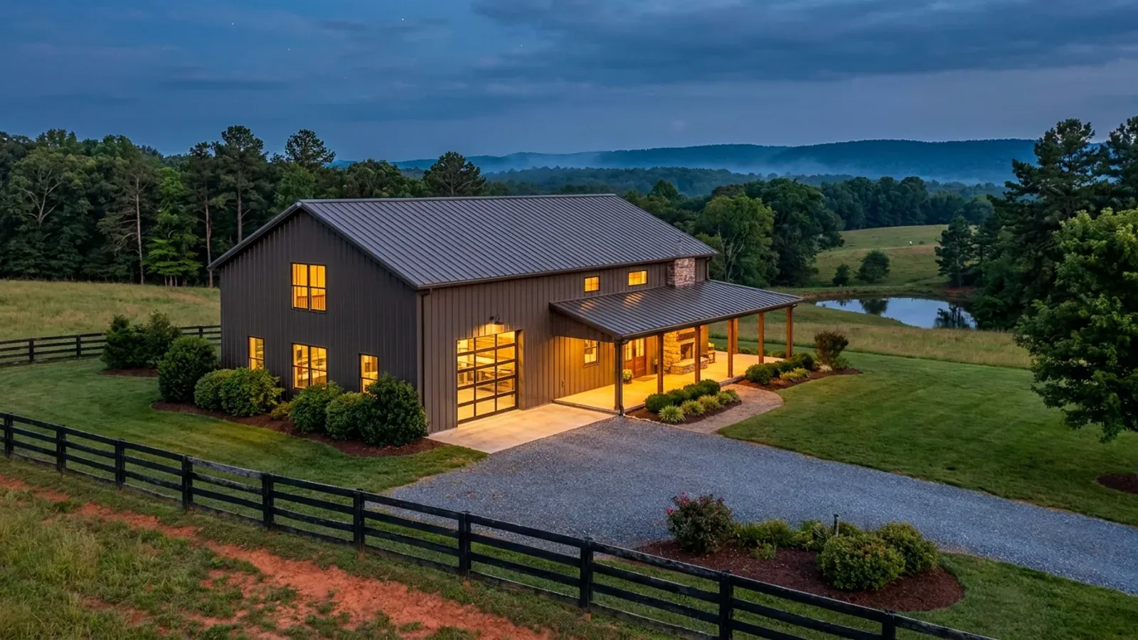
A finished barndominium at dusk with warm interior lighting glowing through its large windows.
Stage three

Frame to finish

Shell erected and dried in, then systems, insulation and interior finish through to CO.

Those are the rules where you are building in McDowell County. Tell us what you want to build and we will draw it to them.

Where we build around McDowell County

McDowell County and the rural land around it. The buildable acreage for a project this size usually sits outside the town limits — which does not automatically put it under the county, because a town's zoning and building-code enforcement reach one to three miles past its limits into its extraterritorial jurisdiction. Inside the limits, in the ETJ, or in neither are three different answers to who issues your permit.

The McDowell County service area, including the rural acreage outside the built-up edge, which is where the parcels big enough for a build like this usually sit. The map marks the territory we build in. It is not a branch location, and there is no office at this pin.

Nearby areas we build in

Others we cover nearby. Every North Carolina municipality sits inside a county — there are no independent cities here — but that does not settle who regulates a given parcel. A town's zoning, subdivision rules and building-code enforcement extend one to three miles beyond its limits, by population, into what the statute calls its extraterritorial jurisdiction; town taxes and town elections do not follow. So the office that issues the permit, what it charges and how the land is zoned can all differ from one card to the next, and the mailing address will not tell you which case you are in.

Building in McDowell County: common questions

8 questions we get asked most often about building in McDowell County. If yours is not on the list, ask it directly.

What are McDowell County's design numbers?
McDowell County is unlisted in Table R301.2(4) of the 2018 NC Residential Code, so it takes the default 115 mph ultimate design wind speed across the whole county — the code's floor. That is worth stating plainly because it is not what people expect from a county with the Blue Ridge crest running along its edge. McDowell is not one of the twelve special mountain region counties that set wind speed by first-floor elevation, and it is not among the thirteen counties Table R301.2(7) places in Seismic Design Category C, so it sits in A or B. Buncombe, Haywood, Madison and Yancey around it are on one of those lists or both. McDowell is in IECC climate zone 4A. Statewide and true everywhere: a flat 20 psf roof live load, a 12-inch frost line depth, Moderate weathering, and termite protection required across the whole state at a Moderate-Heavy severity. Section R301.2.3 is deleted, so the code carries no ground snow load column at all — any snow figure quoted for this county did not come from it.
Does McDowell County have zoning?
Partly, and the ordinance says so itself. Section 501 applies the McDowell County Zoning Ordinance to all lands as designated on the Official Zoning Map of McDowell County. Section 602, headed Conversion to a Zoned District, then sets out how unzoned land becomes zoned: a group of citizens who would rather have the traditional Euclidean system than remain in an unzoned area may petition the Board of Commissioners, with the application covering a minimum of 640 acres and at least ten parcels under separate ownership — waived where the area is contiguous to an existing zoned area — and signed by at least half the landowners, who must own at least half the land involved. So the first question on any McDowell parcel is whether it is inside a zoned district at all. The county publishes a GIS viewer with a zoning layer you can toggle by address, which answers it in about a minute. Where a parcel is zoned, Section 801 sets new-lot minimums of one acre in R-A1 and R-A2, three acres in R-A3 Rural Historic Residential, a quarter acre in R-1 and a half acre in R-2, with family subdivisions exempt.
Who issues the permit — the county, Marion, or Old Fort?
It depends which permit, and McDowell is unusual in that the two answers do not share a boundary. The Planning Department enforces the county's land-use ordinances only outside both municipal boundaries and directs anyone inside Marion or Old Fort to the town. Building Inspections excludes only Marion: its published statement is that all activities within the city limits of Marion are permitted through the City of Marion Building Inspections Department on 828-652-3551. So on unincorporated land the county does both. Inside Marion, the city does both. Inside Old Fort, the practical reading is that the town handles the land-use side and the county handles the building permit — and that is worth confirming on your parcel before you file anything. Under G.S. 160D-202 a municipality's extraterritorial jurisdiction can also reach one to three miles past its limits, carrying its zoning, subdivision regulation and building-code enforcement without the town tax or a town vote, so check the official maps rather than the tax bill.
What will the permit cost in McDowell County?
McDowell's fee schedule, effective 1 July 2023, charges a new house at 50 cents per square foot of finished area, and new unfinished area, additions or renovations at 40 cents per square foot — with basement, attached garage, attached carport, bonus and storage named as the unfinished categories. Residential electrical, plumbing, mechanical and gas permits are $100.00 each. A detached garage, workshop, storage building or boathouse is a separate permit at a $160.00 minimum plus 25 cents per square foot over 400 square feet, on gross area. A carport, porch, deck or dock is $160.00 minimum plus 10 cents per square foot over 600 square feet. A floodplain permit in a special flood hazard area is $100.00 and a required fire inspection is $100.00. Working without a permit adds $200.00 to the permit fee, a third-trip reinspection is $100.00, and an inspection called when the work is not ready is also $100.00. For a barndominium the useful part is the finished-versus-unfinished split: the shop bay is charged, but at a lower rate than the living space, and knowing which side each area falls on before the plan is drawn is worth more than any estimate. These are permit fees, not build costs.
The lot is on the escarpment. What does the slope change?
Mostly the septic answer and the erosion plan, and in that order. Septic is decided by soil morphology rather than a percolation test — the word percolation does not appear anywhere in 15A NCAC 18E, the subchapter that replaced the old .1900 rules on 1 January 2024 and was amended again effective 1 June 2026. Under .0509(a) a site is either suitable or unsuitable; the old provisionally suitable middle category is gone and one failed parameter ends it. Slope, soil depth to rock and depth to a seasonal water table are all evaluated parameters, and on the escarpment the first two do most of the work. Rule .0508(b) requires the site to hold both the initial drainfield and a full repair area, which doubles the ground you need, and .0201(c) means the building permit cannot issue until the Construction Authorization has. The permits run Improvement Permit, then Construction Authorization, then Operation Permit, through McDowell County Environmental Health. Then the erosion plan: if the work will cumulatively disturb one acre or more, the plan must be approved before any land disturbance begins, and on graded ground a switchback drive gets you to an acre faster than the building footprint suggests.
I want to build near Lake James. What actually applies?
Two separate rules, from two separate governments, and they measure from two different lines. The state rule, 15A NCAC 02B .0614, sets a combined 50-foot riparian buffer in two zones — an undisturbed 30-foot Zone 1 and a 20-foot Zone 2 where grading and revegetating are permitted provided Zone 1 is not compromised — along the Catawba mainstem below Lake James and along the mainstem lakes from and including Lake James, measured on a lake from full pond level. The county rule, the Lake James Protection Ordinance, applies to all land within 250 feet of the Reference Line, defined as the Duke Power Lake James project boundary at 1,200 feet above mean sea level, and it is the stricter one on structures: primary buildings set back 75 feet from that line, or 65 feet in eight named developments platted between 1996 and 2016 unless the lot slope is steeper than 2:1; roads and driveways 75 feet; a 50-foot vegetation zone where hand tools only are permitted and six-inch trees are protected; new lots at 1.5 acres with 150 feet of width at the Reference Line. The 50-foot buffer and the homesite have to be surveyed and staked before you apply for the Shoreline Protection Permit. Penalties run $500 to $5,000 per occurrence, with each protected tree a separate violation.
How do I find out whether the parcel is in a flood zone?
Ask McDowell County Building Inspections, which holds the Floodplain Administrator role in the same post as the Permit Specialist and administers the National Flood Insurance Program regulations for the county, and then check the answer against the state's own maps at flood.nc.gov. Two things make this worth doing carefully here rather than taking a listing at its word. First, the county charges a distinct $100.00 floodplain permit for work in a special flood hazard area, which tells you it is a real permit with a real review rather than a formality. Second, McDowell was one of 39 North Carolina counties designated under DR-4827-NC when Hurricane Helene was declared on 28 September 2024, and Old Fort was among the hardest-hit places in the state. Effective FEMA maps and preliminary maps are not always the same document, and the difference between them can set your finished floor elevation. Get the zone in writing before you fix a pad location, not after.
There is a barn on the land. Does that make it a farm building?
Not for the purposes of anyone living in it. North Carolina's farm-building exemption is defined at N.C.G.S. § 143-138(b4)(1), and that definition is a farm building means any nonresidential building or structure. So the exemption stops at the moment a building becomes a dwelling — a conversion or a new house is inspected as a dwelling under the 2018 NC Residential Code, with the foundation, egress, energy envelope and lot all in scope. If any of an existing barn's frame is meant to carry load in the finished building, that is engineering work: Section R301.1.2 requires a framing system outside the code's prescriptive scope to demonstrate equivalent detailing, and § 89C-25 contains no residential carve-out from the engineering requirement, so it means a professional engineer licensed in North Carolina. On the sequencing question, a detached workshop or storage building in McDowell is its own permit at a $160.00 minimum plus 25 cents per square foot over 400 square feet, so putting the shop up first is a permitting question the county can answer directly.

Building in McDowell County?

Start with the plan. Tell us what you want to build and we will draw it, then confirm which office issues the permit for your parcel, what it will let you put there, and what wind load it has to meet. That conversation costs nothing.