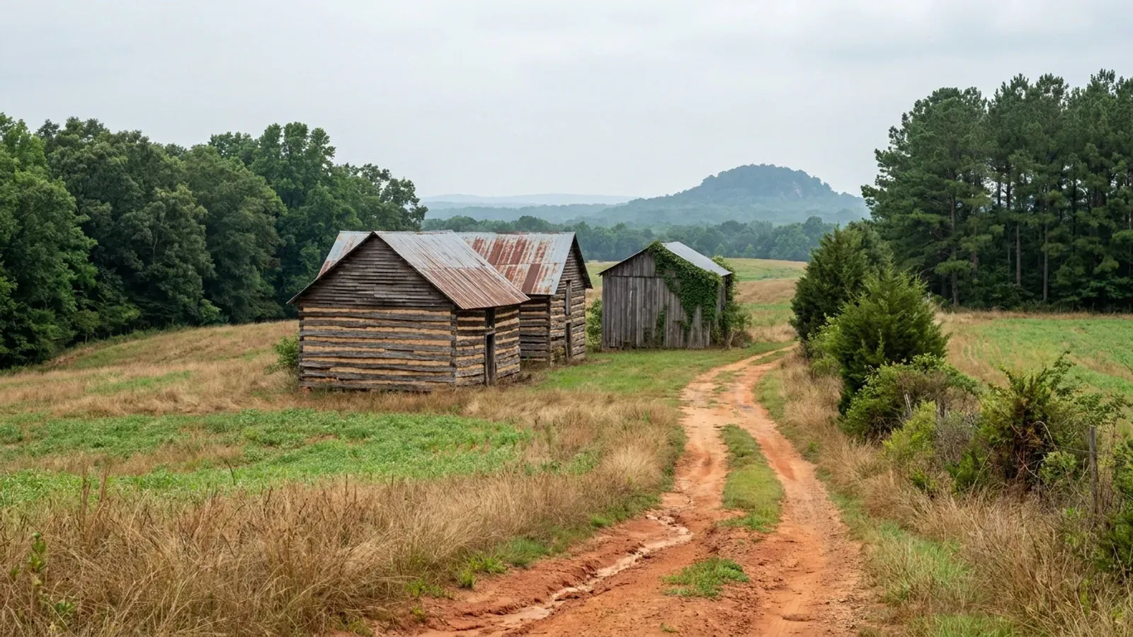
Rolling northern Piedmont farmland with red-orange clay, a red dirt track and a row of derelict flue-cured tobacco barns with rusting tin roofs at the field edge.
Stokes County 2018 NC Residential Code, statewide

Barndominium Builders in Stokes County, NC

Stokes County is the northern edge of the Triad, straight up the road from Winston-Salem, with Danbury as its seat, King on the Forsyth line and Walnut Cove down on the Dan. It is the least municipalised county in the Triad ring and the county publishes the proof itself: in its own population breakdown, 37,052 residents — 81 percent — live in unincorporated territory, against 6,877 in King, 1,355 in Walnut Cove and 183 in Danbury. Three municipalities in 449 square miles, and a July 2025 census estimate of 46,126 people. For a buyer that is the most useful fact about the place, because the question "who permits me" has one answer on most parcels and the answer is Stokes County Planning & Inspections at 1014 Main Street in Danbury — not a city department three towns away. The land backs it up: 726 farms on 81,361 acres, 28.3 percent of the county, with a median farm of 62 acres, the largest of any county in the Winston-Salem and Greensboro ring except Caswell. And it is not flat. The Sauratown Mountains cross the county and Hanging Rock State Park sits in the middle of them, quartzite ridges standing hundreds of feet above the surrounding Piedmont. Steep ground this far east is unusual, and it moves one thing to the front of the process: the septic soil evaluation stops being a formality and becomes the decision that sites the building.

Stokes County at a glance

County
Stokes County
City rules outside city limits
Stokes has only three municipalities and 81 percent of its people live outside all of them, so on most parcels the county is the permitting authority and there is no town line to argue about.
Population
46,126
ZIP codes
27016, 27019, 27021, 27022, 27042, 27046, 27052
Site visits
Same week for most of the county

Building conditions in Stokes County

The building code does not change at a county line here. Under § 143-138(e) the North Carolina State Building Code applies throughout the state, and a city or county may adopt only a fire prevention code and floodplain regulations of its own — there is no general local amendment power, so there are no county amendments to look up. The edition in force is still the 2018 NC Residential Code, effective 1 January 2019; the 2024 edition has been delayed three times and carries no effective date at all. What genuinely differs is who issues the permit and inspects the work, what that office charges, how the parcel is zoned, what the local floodplain ordinance requires of the foundation — and two design numbers the code publishes county by county, the ultimate design wind speed and the seismic design category. The rest of Table R301.2 is set once for everyone: a flat 20 psf roof live load, a 12-inch frost line, Moderate weathering, and termite protection required everywhere in the state with no exemption. There is no ground snow load column in the residential code at all.

Build conditions for Stokes County , North Carolina : ultimate design wind speed 115 mph. BUILD CONDITIONS STOKES COUNTY, NCStokes County2018 NC RESIDENTIAL CODEULTIMATE DESIGN WIND SPEED115 mphStokes County is unlisted in Table R301.2(4) of the 2018 NC Residential Code and so takes thedefault 115 mph ultimate design wind speed. It is not one of the twelve counties that set wind by…ZONING · R-A RESIDENTIAL-AGRICULTURAL, UNDER…One acre (43,560 sq ft) per dwelling…Stokes zones under Chapter 160D with fourteen general use districts— R-A plus seven other residential classes, a manufactured housing…WHO ISSUES THE PERMITStokes County Planning & InspectionsAdministration Building, 1014 Main Street, Danbury, NC 27016. Thesame office holds the Planning Director, the chief code enforcement…
Build conditions for Stokes County, drawn from the sourced facts on this page. Every figure above is cited in the quick-facts panel below, with its source and vintage.
81 percent of Stokes lives outside every town, and the county says so
Stokes County's own published statistics break its population down this way: City of King 6,877, Town of Walnut Cove 1,355, Town of Danbury 183, and unincorporated areas 37,052 — 81 percent of the county, on a county-published total of 45,467. Three municipalities, and four people in five living outside all of them. That is the opposite of the Greensboro and Winston-Salem situation, where the first question about any parcel is which of a dozen jurisdictions it has fallen into. Here, on most land, Stokes County Planning & Inspections in Danbury is the answer and there is no second office to find.

Stokes County, Stokes Statistics, co.stokes.nc.us/departments/stokes_statistics.php

Heated space is charged by the trade; unheated is one flat rate
Stokes County's residential construction fee schedule charges new residential construction on heated space at $0.25 a square foot for the building permit and $0.15 a square foot each for the electrical, plumbing and mechanical permits, with all required inspections included in each. Unheated space — the schedule names basements, carports, garages and decks — is a single $0.15 a square foot covering the building, electrical and plumbing work associated with it. A $60 zoning fee is applied to every new construction permit, plus a $10 Homeowner Recovery charge and a $5 technology fee on all permits. So the shop bay is not free here, but it is charged once instead of four times, and knowing that before the plan is drawn is worth more than any estimate.

Stokes County Residential Construction Fee Schedule, Planning & Inspections, co.stokes.nc.us/departments/residential_construction_fee_schedule.php

King straddles the county line, and Forsyth's inspectors say they do not cover it
King is the largest municipality in Stokes and it spans two counties: 7,330 of its 7,977 residents are in Stokes and 647 are in Forsyth. That makes "who permits me" a genuine question on a King parcel, and the answer is published on the other county's website. The Winston-Salem/Forsyth County Inspections Division describes itself as a City-County agency responsible for building and zoning review and inspection throughout Forsyth County "with the exception of the town/city limits of High Point, Kernersville and King" — and it enforces the zoning ordinances of Clemmons, Forsyth County, Lewisville, Walkertown and Winston-Salem, none of which is King. So a parcel inside King's limits is King's, whichever county's tax bill arrives.

City of Winston-Salem Inspections Division, cityofws.org/343/Inspections-Division; U.S. Census Bureau 2020 place-by-county population

The R-A district caps the principal building at 20 percent of the lot
Section 80.3 of the Zoning Ordinance of Stokes County sets the R-A Residential-Agricultural dimensional standards: one acre of lot area per dwelling unit, dropping to 30,000 square feet where there is public water with an adequate supply for fire suppression under NFPA 1142; 100 feet of mean lot width; a 40-foot front yard; 15-foot side yards; a rear yard of 20 percent of mean lot depth, capped at 30 feet; a 35-foot height limit; and maximum lot coverage by the principal building of 20 percent of the total area. That last one is the barndominium number. A 4,000 square foot footprint needs 20,000 square feet of lot under it on the coverage rule alone — comfortable on the acre the district already requires, and worth checking against the ordinance's own text if the building is unusually wide.

Zoning Ordinance of Stokes County, Section 80 R-A Residential-Agricultural District, Section 80.3 Dimensional Requirements, co.stokes.nc.us

The county's farm exemption is a ZONING exemption, and it was written in 1985
Article III, Section 31 of the Stokes zoning ordinance is headed Bona Fide Farms Exempt and opens by saying the county does not intend to regulate farming activities. Cropland and farm buildings — the text names farmhouses, tenant housing, tobacco barns and apple sheds — are excluded from the regulations described in the zoning text, and those regulations take effect only when farmland is developed for a non-farm activity. The section carries Amendment #19, dated 5 August 1985. Read it for what it is: an exemption from ZONING. The building code is a different instrument, and under N.C.G.S. § 143-138(b4)(1) a "farm building" is defined as any nonresidential building or structure, so the code exemption never reaches a dwelling. Conflating the two is where buyers in this county get hurt.

Zoning Ordinance of Stokes County, Article III Section 31, Amendment #19 (5 August 1985), co.stokes.nc.us; N.C.G.S. § 143-138(b4)(1)

The Sauratown Mountains put 900 feet of relief in the middle of the Piedmont
Hanging Rock State Park sits in Stokes County 30 miles north of Winston-Salem, in the Sauratown Mountains — one of the most easterly ranges in the state and often called the mountains away from the mountains. Prominent peaks in the range rise from 1,700 feet to more than 2,500 feet against surrounding countryside that averages only 800 feet, and what is left of the eroded range is erosion-resistant quartzite: Moore's Knob, Moore's Wall, Cook's Wall, Devil's Chimney, Wolf Rock and Hanging Rock itself. The county takes the ridgeline seriously in its own ordinance too, with a one-mile tower exclusion around Hanging Rock State Park, a zone measured 500 feet down from the Brown Mountain ridge top, and two- and three-mile viewshed protection zones reviewed by a Hanging Rock Advisory Board. Those provisions govern communication towers, not houses — but the terrain they exist to protect is the terrain your drive and your drainfield have to cross.

NC Division of Parks and Recreation, Hanging Rock State Park, ncparks.gov; NCpedia (State Library of North Carolina), Hanging Rock State Park; Zoning Ordinance of Stokes County, wireless communication tower viewshed provisions, co.stokes.nc.us

Also worth knowing before you build in Stokes County

Three rivers, three watershed overlays
The Stokes zoning ordinance establishes drinking-water supply watershed overlay districts across the county planning jurisdiction: an unnamed tributary at Camp Sertoma in both WS-II Critical Area and WS-II Balance of Watershed, and WS-IV Protected Areas on the Mayo River, the Dan River and the Yadkin River. A WS-IV protected area is defined in the ordinance as reaching ten miles upstream of, and draining to, an intake in the stream or river. That is a lot of a 449-square-mile county, and the overlay carries built-upon-area limits and stream buffer requirements that sit on top of whatever the underlying district allows. Check the overlay before you assume the R-A standards are the whole picture.

Zoning Ordinance of Stokes County, watershed overlay districts and definitions, co.stokes.nc.us

What a rezoning costs, and who decides it
Stokes County publishes its zoning application fees plainly: a zoning map amendment or a conditional zoning request is $650, a zoning text amendment $350, a variance request $300, a major subdivision review $75, a zoning permit $30, and a temporary permit $30 without an inspection or $50 with one. Rezoning requests go to a nine-member Planning Board made up of residents of each township in the county, which meets quarterly and recommends, and then to the Board of Commissioners, which decides — both at public hearings. The quarterly meeting cycle is the thing to plan around: a rezoning here is measured in months, not weeks, and most barndominium buyers on R-A land never need one.

Stokes County, Zoning Application Procedure, co.stokes.nc.us/departments/zoning_application_procedure.php

726 farms, and the median one is 62 acres
The 2022 Census of Agriculture records 726 farms in Stokes County on 81,361 acres — 28.3 percent of the county — averaging 112 acres with a median of 62. That median is the largest of any county in the Winston-Salem and Greensboro ring except Caswell, and bigger than Rockingham at 60, Randolph at 49, Surry and Alamance at 46, Yadkin at 45, Davie at 42 and Davidson at 40. Stokes also grew 3.6 percent between the 2020 census base and the July 2025 estimate, from 44,514 to 46,126, at 103 people per square mile against Forsyth County's 984 next door. Slow growth and big parcels are the same fact seen twice, and together they are the reason to look here.

USDA NASS, 2022 Census of Agriculture county data; U.S. Census Bureau, Vintage 2025 county population estimates and 2025 Gazetteer county file, census.gov
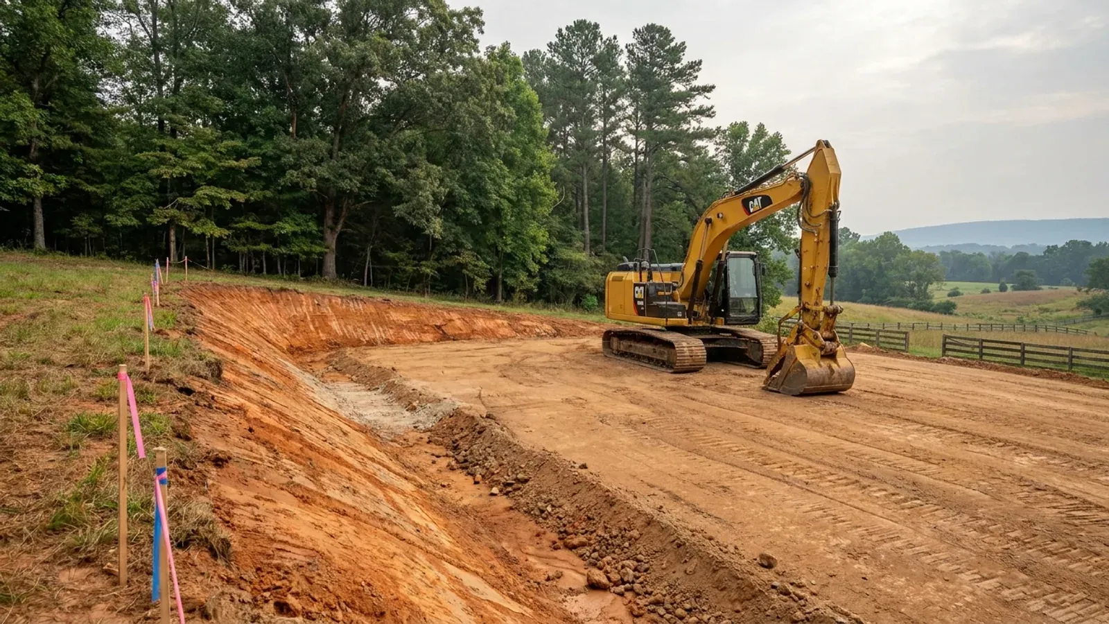
An excavator grading a compacted building pad on a cleared lot, with survey stakes, a drainage swale and a silt fence along the downhill edge.
Below the slab

The expensive surprises are in the ground, not the building

What moves a North Carolina budget is usually below grade, and the thing most often got wrong is which clay to worry about. Cecil — the red Piedmont clay everyone pictures, and the state soil — is kaolinitic and low shrink-swell; it does not heave. The soil that does is Iredell, formed over diabase and gabbro, which the USDA describes as vertic, very high shrink-swell, with a perched water table a foot or two down from December through April. The tell is colour: Cecil is red and Iredell is dark grey-brown, and they sit within a few miles of each other across the central Piedmont. West of that the question stops being clay and becomes slope, rock and colluvium; east of the fall line it becomes water, and in the Tidewater it becomes organic soil that subsides irreversibly once it is drained. Then the same ground decides the septic system, and North Carolina rewrote those rules recently enough that most of what is published about them is out of date. 15A NCAC 18E replaced the old subchapter on 1 January 2024 and was amended again on 1 June 2026: the site is classified on soil morphology — the word "percolation" does not appear anywhere in it — and there is no "provisionally suitable" any more, only suitable or unsuitable, on a single failed parameter. There is no statewide minimum lot size either; the area you need is derived from the soil result and then doubled, because a site that cannot fit both the initial field and its repair area is unsuitable. And the order matters more than people expect: the county health department's Improvement Permit and Construction Authorization come first, and the building permit is available on the strength of the Construction Authorization, not before it. One more thing that catches people: disturb more than an acre and you need an approved erosion and sedimentation control plan in hand before work starts, with penalties up to $5,000 a day, and a pad plus a drive plus a drainfield plus a laydown area crosses an acre faster than it sounds. So the site work, the foundation and the drainfield get resolved together rather than one at a time. We price the dirt before we price the building.

What a build looks like

Three stages every Stokes County project passes through, from a raw parcel to a finished home. Site work first, because that is where the budget is decided.
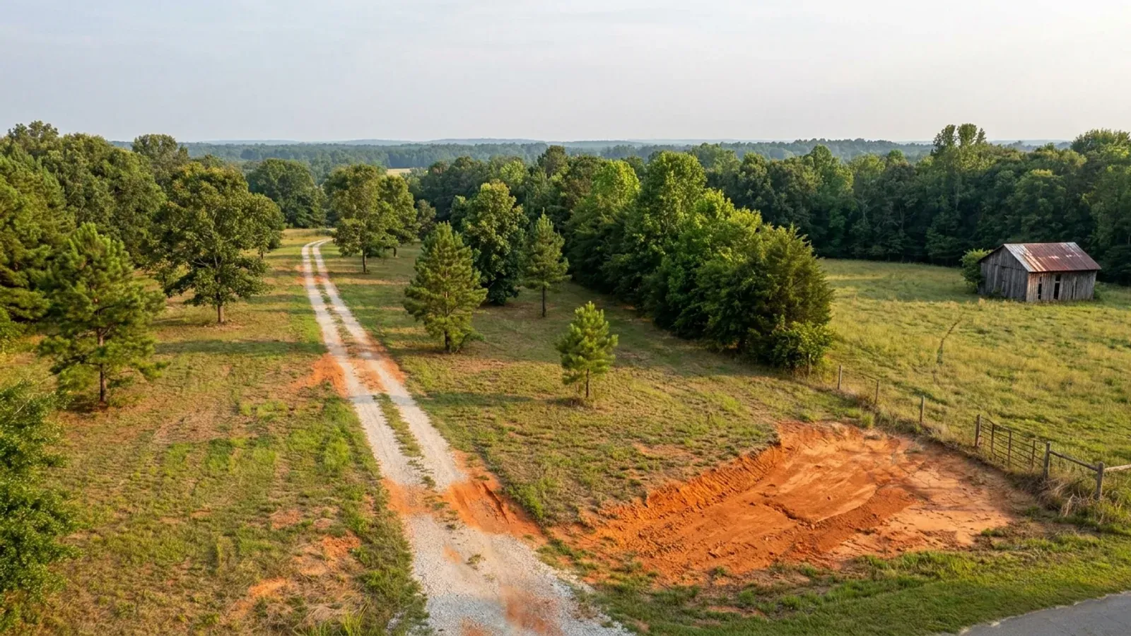
Aerial view of an undeveloped rural lot with cleared grass, a mixed oak, hickory and pine treeline, exposed red clay in one corner and a pale gravel access track.
Stage one

The parcel

Zoning, setbacks, flood zone and utility access get checked before anything is drawn.

An excavator grading a compacted building pad on a cleared lot, with survey stakes, a drainage swale and a silt fence along the downhill edge.
Stage two

Pad and permit

Clearing, grading and a compacted pad, while the septic authorization and the building submittal work through whichever offices cover your parcel.
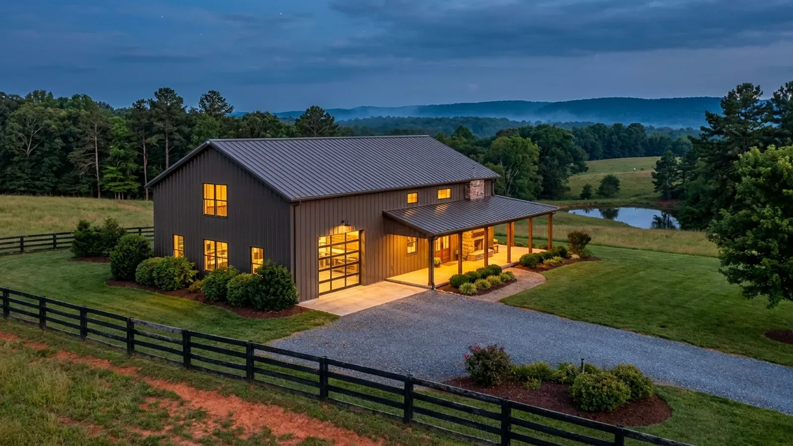
A finished barndominium at dusk with warm interior lighting glowing through its large windows.
Stage three

Frame to finish

Shell erected and dried in, then systems, insulation and interior finish through to CO.

Those are the rules where you are building in Stokes County. Tell us what you want to build and we will draw it to them.

Where we build around Stokes County

Stokes County and the rural land around it. The buildable acreage for a project this size usually sits outside the town limits — which does not automatically put it under the county, because a town's zoning and building-code enforcement reach one to three miles past its limits into its extraterritorial jurisdiction. Inside the limits, in the ETJ, or in neither are three different answers to who issues your permit.

The Stokes County service area, including the rural acreage outside the built-up edge, which is where the parcels big enough for a build like this usually sit. The map marks the territory we build in. It is not a branch location, and there is no office at this pin.

Nearby areas we build in

Others we cover nearby. Every North Carolina municipality sits inside a county — there are no independent cities here — but that does not settle who regulates a given parcel. A town's zoning, subdivision rules and building-code enforcement extend one to three miles beyond its limits, by population, into what the statute calls its extraterritorial jurisdiction; town taxes and town elections do not follow. So the office that issues the permit, what it charges and how the land is zoned can all differ from one card to the next, and the mailing address will not tell you which case you are in.

Building in Stokes County: common questions

8 questions we get asked most often about building in Stokes County. If yours is not on the list, ask it directly.

Does Stokes County have zoning?
Yes. The Zoning Ordinance of Stokes County is enacted under Chapter 160D of the General Statutes and applies across the county's zoning jurisdiction, with an amendment history running from the 1980s to 1 June 2021. It establishes fourteen general use districts and a companion conditional district for each; most rural land is R-A, Residential-Agricultural, written for crop and livestock production, forestry and scattered non-farm development on traditional rural lots. About one North Carolina county in five has no county zoning at all on the UNC School of Government's 2019 count, so it is a fair question to ask anywhere in this state. In Stokes the answer is that your land is zoned, and on most parcels it is zoned by the county rather than by a town.
Who issues the permit — Stokes County, or a town?
On most parcels, the county, and that is the practical advantage of building here. Stokes has three municipalities — King, Walnut Cove and Danbury — and the county's own published breakdown puts 37,052 of its 45,467 residents, 81 percent, in unincorporated territory. Stokes County Planning & Inspections at 1014 Main Street in Danbury handles building code enforcement, zoning and permitting for that land. The one parcel type that needs care is King, which straddles the Stokes-Forsyth line: the Winston-Salem/Forsyth County Inspections Division states that it covers all of Forsyth County except the town or city limits of High Point, Kernersville and King, so a King parcel goes to King. And under G.S. 160D-202 a municipality's extraterritorial jurisdiction can carry its zoning, subdivision rules and building-code enforcement one to three miles beyond its limits by population, without the town tax and without a town vote — so check the official zoning map before you buy.
What will the county permit cost in Stokes County?
Stokes County's residential construction fee schedule charges heated space per trade: $0.25 a square foot for the building permit and $0.15 a square foot each for electrical, plumbing and mechanical, with all required inspections included in each of those. Unheated space — the schedule lists basements, carports, garages and decks — is a single $0.15 a square foot covering the building, electrical and plumbing work associated with it. Add a $60 zoning fee applied to every new construction permit, a $10 Homeowner Recovery charge and a $5 technology fee. Building under 450 square feet falls into a small-footprint category with its own minimums. That is the fee schedule, which is not a build cost — Stokes County publishes what it charges to inspect the work, and no North Carolina agency publishes a reliable cost to build a house.
What are Stokes County's design numbers?
Stokes County is unlisted in Table R301.2(4) of the 2018 NC Residential Code, so it takes the default 115 mph ultimate design wind speed — the code's floor, and the same as Forsyth and Surry. Despite the Sauratown ridges, Stokes is not one of the twelve special mountain region counties that set wind speed by first-floor finish elevation, so one number applies across the county. It is not on the Table R301.2(7) list of Seismic Design Category C counties, which puts it in A or B, and it is in IECC climate zone 4A. Statewide and true everywhere: a flat 20 psf roof live load, a 12-inch frost line depth, Moderate weathering, and termite protection required in all of North Carolina at a Moderate-Heavy severity. Section R301.2.3 is deleted, so the code carries no ground snow load column at all — any snow figure quoted for this county did not come from it.
The land is steep. Will it pass for septic?
This is the question in Stokes, and it is decided by soil morphology rather than by a percolation test — the word percolation does not appear anywhere in 15A NCAC 18E, the subchapter that replaced the old .1900 rules on 1 January 2024 and was itself amended effective 1 June 2026. Under .0509(a) a site is suitable or unsuitable, full stop; the old "provisionally suitable" middle category is gone and one failed parameter ends it. Slope, soil depth to rock and depth to a seasonal water table are all evaluated parameters, and on Sauratown ground the first two do real work. The sequence is Improvement Permit, then Construction Authorization, then Operation Permit, all through Stokes County Environmental Health — and .0201(c) means the building permit cannot issue until the Construction Authorization has. Under .0508(b) the site must hold both the initial drainfield and a full repair area, which doubles the ground you need. On sloping land, get the soil evaluation before the offer, not after.
There is an old tobacco barn on the property. Does that exempt me?
From zoning, in part. From the building code, no. Article III, Section 31 of the county's zoning ordinance excludes cropland and farm buildings — it names farmhouses, tenant housing, tobacco barns and apple sheds — from the zoning text, and says the regulations take effect only when farmland is developed for some non-farm activity. That language dates from 1985. But zoning and the building code are different instruments and they behave differently. N.C.G.S. § 143-138(b4)(1) defines a "farm building" as any nonresidential building or structure, so the code exemption stops the moment someone lives in it. A conversion or a new dwelling is inspected as a dwelling under the 2018 NC Residential Code — foundation, egress, energy envelope, the lot. The honest way to treat an existing barn on a Stokes parcel is as a site condition and a design idea, not as a permitting shortcut. If any of its original frame is to carry load in the finished building, that is engineering work: Section R301.1.2 requires a framing system outside the code's prescriptive scope to demonstrate equivalent detailing, and § 89C-25 contains no residential carve-out from the engineering requirement.
Is my land in a watershed overlay?
It might be, and the ordinance is where to check. Stokes establishes drinking-water supply watershed overlay districts across its planning jurisdiction: WS-II Critical Area and Balance of Watershed on an unnamed tributary at Camp Sertoma, and WS-IV Protected Areas on the Mayo River, the Dan River and the Yadkin River. The ordinance defines a WS-IV protected area as reaching ten miles upstream of, and draining to, the intake in the stream or river. The overlay adds built-upon-area limits and stream buffer requirements on top of the underlying district's standards, and on a 4,000 square foot building with a long gravel drive the built-upon-area calculation is not academic. Planning & Inspections in Danbury can tell you which overlay, if any, a parcel falls in before you commit to a footprint.
Do I need an erosion and sedimentation control plan?
If the work will cumulatively disturb one acre or more, yes, and the plan has to be approved before any land-disturbing activity begins, with penalties reaching $5,000 a day. On sloping Stokes ground the acre arrives faster than people expect, because a drive that has to switch back up a grade disturbs far more than a straight run on flat land — and the pad, the septic area and the material laydown all count. Measure the disturbed area rather than the building footprint. A delegated local programme may set stricter terms than the state minimum.

Building in Stokes County?

Start with the plan. Tell us what you want to build and we will draw it, then confirm which office issues the permit for your parcel, what it will let you put there, and what wind load it has to meet. That conversation costs nothing.