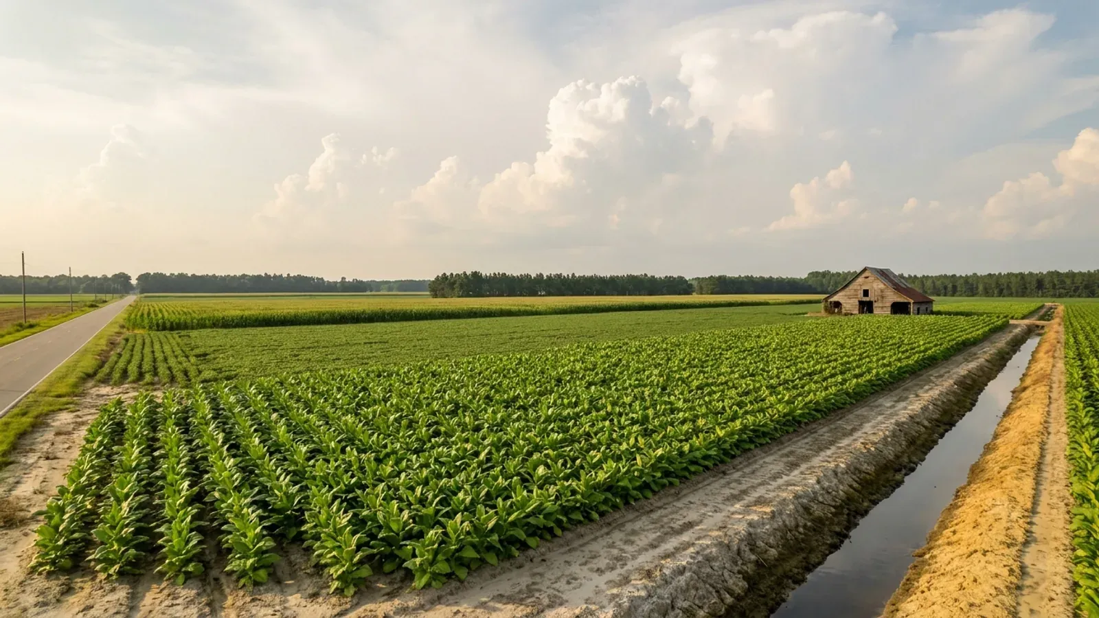
Flat eastern North Carolina cropland with long rows of green tobacco in grey-tan sandy soil, a straight field-edge ditch, dark loblolly pine windbreaks and a derelict tobacco barn in the distance.
Lenoir County 2018 NC Residential Code, statewide

Barndominium Builders in Lenoir County, NC

Lenoir County is in the Coastal Plain, around Kinston. The TOWN of Lenoir is a different place — it is the seat of Caldwell County, in the foothills about 250 miles west.

Lenoir County is the Coastal Plain county around Kinston, on the Neuse River — and the first thing to settle is that it is not the town of Lenoir, which is the seat of Caldwell County in the foothills about 250 miles west. Kinston is the seat here. Two other name checks matter for a land search: Grifton straddles the Pitt and Lenoir line, and La Grange and Pink Hill run their own zoning inside their limits. On the design numbers Lenoir is one of the 49 counties North Carolina names in its wind table: Table R301.2(4) of the 2018 NC Residential Code puts Lenoir County at 130 mph ultimate design wind speed, flat, with no road split and no elevation rule, and the 2024 edition carries the same number. Lenoir County is absent from Table R301.2(7), the Seismic Design Category C list. The more useful local facts are administrative. Since 17 January 2023 an interlocal agreement has put every new building, mechanical, electrical and plumbing permit in the City of Kinston with Lenoir County Inspections, while the city keeps plan review, zoning compliance, land disturbance, demolition, signs, ABC licences and fire inspections inside its limits and its extraterritorial jurisdiction — so on a Kinston-edge parcel you deal with two desks, not one. The county's fee schedule then prices a house on three separate per-square-foot lines and prices accessory buildings, storage, porches and decks on two lower ones, which is the single most barndominium-specific thing about building here. And the county is 53.4 percent farmland at a median farm size of 80 acres, against a statewide median of 48 — there is land, and the parcels are the right size.

Lenoir County at a glance

County
Lenoir County
City rules outside city limits
Kinston keeps zoning compliance, land disturbance, demolition and sign approval inside its extraterritorial jurisdiction while Lenoir County issues the building permit — two offices on one rural parcel.
Population
55,837
ZIP codes
28501, 28502, 28504, 28525, 28530, 28551, 28572
Site visits
Same week across Lenoir County

Building conditions in Lenoir County

The building code does not change at a county line here. Under § 143-138(e) the North Carolina State Building Code applies throughout the state, and a city or county may adopt only a fire prevention code and floodplain regulations of its own — there is no general local amendment power, so there are no county amendments to look up. The edition in force is still the 2018 NC Residential Code, effective 1 January 2019; the 2024 edition has been delayed three times and carries no effective date at all. What genuinely differs is who issues the permit and inspects the work, what that office charges, how the parcel is zoned, what the local floodplain ordinance requires of the foundation — and two design numbers the code publishes county by county, the ultimate design wind speed and the seismic design category. The rest of Table R301.2 is set once for everyone: a flat 20 psf roof live load, a 12-inch frost line, Moderate weathering, and termite protection required everywhere in the state with no exemption. There is no ground snow load column in the residential code at all.

Build conditions for Lenoir County , North Carolina : ultimate design wind speed 130 mph. BUILD CONDITIONS LENOIR COUNTY, NCLenoir County2018 NC RESIDENTIAL CODEULTIMATE DESIGN WIND SPEED130 mphLenoir County is named at 130 mph in Table R301.2(4) of the 2018 NC Residential Code, a flatfigure with no road split. The 2024 edition, which has no effective date, carries the same number.ZONING · COUNTY ZONING, SUBDIVISION AND MANUF…Lenoir County Planning and Inspections states that it administersand enforces all Board-adopted legislation including the Land Use…WHO ISSUES THE PERMITLenoir County Planning & InspectionsCountywide, and inside Kinston too since January 2023. Kinston stillsigns off zoning, land disturbance and demolition in its limits and…
Build conditions for Lenoir County, drawn from the sourced facts on this page. Every figure above is cited in the quick-facts panel below, with its source and vintage.
The county issues Kinston's building permit; the city keeps zoning
The City of Kinston's own page states that as of 17 January 2023 the city and Lenoir County entered an interlocal agreement, and that any new building, mechanical, electrical or plumbing permit required after that date is handled by Lenoir County Inspections. The city stays responsible for new construction or development plan review, change of use, land disturbance, demolitions, signs, zoning compliance, zoning certification, ABC licences and fire inspections located in the city limits and its extraterritorial jurisdiction, and continues to enforce grass and weed abatement, zoning enforcement and the minimum housing code. So a parcel on the Kinston edge is a two-office job, and the office you call about the shed setback is not the office that inspects the footing.

City of Kinston, Permits & Zoning Code Enforcement, kinstonnc.gov, read 6 September 2026 (the host returned a genuine 404 on a bogus control path); Lenoir County Planning & Inspections Department, lenoircountync.gov, read 6 September 2026.

Three per-square-foot lines, and accessory space sits on a cheaper pair
Lenoir County's fee schedule, titled effective 1 July 2024, prices new residential construction on three separate lines: Building Permit $0.18 per square foot, Plumbing/Electric/Mechanical $0.10 per square foot, and Insulation $0.05 per square foot, each with a $75 minimum. Accessory buildings, storage, porches and decks are a separate category at $0.14 per square foot for the building permit and $0.08 for the trades. Residential plan review is listed as no charge. Two things the schedule does not say, and both are worth asking before you budget: whether the square footage is heated area or gross area under roof, and which of those two categories an attached shop bay falls into. That answer is the difference between $0.33 and $0.22 a square foot on the biggest room in the building.

Lenoir County Planning & Building Inspections fee schedule, linked from the Finance Department fee schedules page at lenoircountync.gov and titled "Fee Schedule - Effective July 1 2024", read 6 September 2026.

Lenoir prices the private soil-scientist route separately, and lower
Lenoir County Environmental Health publishes a fee schedule effective 19 February 2024 with two parallel septic tracks. The county track is $250 for the application and site evaluation covering the Improvement Permit, the Construction Authorization, the Operation Permit where applicable and a revision of the IP. Beneath it sits a block headed "Private option": (A2) IP $150, (A2) CA $50, (A2) IP-CA $100, and EOP/AOWE $35. Those A2 lines are 15A NCAC 18E .0202(g), which lets an applicant contract with a licensed soil scientist to do the soil and site evaluation under G.S. 130A-335(a2) and submit it to the health department as part of the application. It does not bypass the county — the county still issues the permit — it front-loads the fieldwork so you are not waiting in the county queue. Lenoir also lists $200 for well siting, permitting and inspections and $150 for water samples including the visit, the well inspection and testing for bacteria, inorganics and nitrates.

Lenoir County Environmental Health fee schedule effective 19 February 2024, published by Lenoir County at lenoircountync.gov, read 6 September 2026; 15A NCAC 18E .0202 and .0207, NC Office of Administrative Hearings.

130 mph, no road split, no seismic listing
Lenoir County is one of the 49 counties North Carolina names in Table R301.2(4) of the 2018 NC Residential Code, at an ultimate design wind speed of 130 mph. It is a flat figure: no footnote, no split on a highway or waterway, and no elevation rule, unlike Cumberland County (120 mph west of I-95, 130 east) or Dare County (130 west of U.S. 264, 140 east). The 2024 edition, adopted but with no effective date at all, carries 130 for Lenoir County as well, so this is one of the counties where the pending edition changes nothing. Lenoir County is also absent from Table R301.2(7), the Seismic Design Category C list, whose note places every county not named in Category A or B. And Lenoir County is well inland of the wind-borne debris region, which North Carolina defines as a map line rather than a wind speed.

2018 NC Residential Code, Tables R301.2(4) and R301.2(7), NC Office of the State Fire Marshal; both editions transcribed and cross-checked against their own footnotes, read 5 September 2026.

Northern Lenoir has a future land use map because of a road that opened in 2021
On 1 March 2021 NCDOT finished extending the C.F. Harvey Parkway, N.C. 148, another 5.8 miles from N.C. 58 to N.C. 11 north of Kinston, connecting U.S. 70, N.C. 58 and N.C. 11 and tying the northern county to the Global TransPark and the employment around it. Lenoir County then adopted the Harvey Parkway Area Study as a strategic plan for the northern portion of the county, with a Future Land Use Map, on the county's own stated expectation that the opening would drive increased interest in that part of the county. For a land buyer that is a practical document rather than a planning artefact: north of Kinston there is now a county-adopted picture of the intended development pattern, and it is the thing a subdivision review or a rezoning request in that area gets measured against. It is also a fair indication of where county infrastructure money is expected to go. Read it before you make an offer on the N.C. 148 corridor, not after.

Lenoir County Planning & Inspections, Harvey Parkway Area Study page with the study report and Future Land Use Map, lenoircountync.gov, read 6 September 2026; NCDOT project completion date as stated on that page.

More than half the county is farmland, and the farms are the right size
The 2022 Census of Agriculture puts Lenoir County 15th of North Carolina's 100 counties for land in farms: 352 farms across 136,277 acres, which is 53.4 percent of the county — a higher share than either Duplin or Sampson, the two counties that beat it on raw acreage. The median farm is 80 acres against a statewide median of 48. On 399 square miles that works out to 140 people per square mile and a 2025 population of 55,837, up 1.3 percent since 2020. Lenoir is a crop county rather than a livestock one by the standards of this part of the state: 24 percent of the market value sold is crops, and the county ranks 10th in North Carolina and 14th in the United States for tobacco, with soybeans on 39,795 acres, corn on 26,042 and cotton on 13,450. The buyer's version of that: 80-acre parcels in row-crop country, not 400-acre operations you cannot subdivide.

USDA NASS 2022 Census of Agriculture, Lenoir County profile (cp37107) and North Carolina county rankings; U.S. Census Bureau Vintage 2025 county population estimates and 2025 Gazetteer land areas.

Also worth knowing before you build in Lenoir County

A blue line on a map you have never seen can stop the building permit
Lenoir County is in the Neuse basin — the county's own floodplain page points readers to the 2020 hazard mitigation plan for the Neuse River Region of North Carolina including Lenoir County — and the operative rule is 15A NCAC 02B .0714, not the .0233 most secondary sources still cite, which was transferred out on 15 June 2020. The part that catches rural buyers is the trigger. Under .0714(3)(a) a surface water is subject to the 50-foot buffer if it is approximately shown on the most recent NRCS soil survey stream layer, on the USGS National Map, or on another map the Environmental Management Commission has approved as more accurate — whether or not anything is running on the ground when you walk it. And .0714(3)(g) states that no new clearing, grading or development shall take place, nor shall any new building permits be issued, in violation of the rule. The remedy is the on-site determination under .0714(4), which the Authority makes through staff certified under G.S. 143-214.25A and which can take a farm ditch, an ephemeral stream or a manmade pond with no stream connection off the map. Disputes go to the Director in writing within 60 calendar days. And .0714(9) matters on a long rural drive: runoff entering the buffer has to meet dispersed flow, so a gravel driveway that concentrates water into a ditch across it is a regulated conveyance, not a neutral act.

15A NCAC 02B .0714, NC Office of Administrative Hearings, read 5 September 2026; Lenoir County Planning & Inspections floodplain information page, lenoircountync.gov, read 6 September 2026.

The one thing a county here really can change: the flood elevation
Lenoir County's Flood Damage Prevention Ordinance was adopted 7 July 1980 and amended 6 April 2020, and is written on the Non-Coastal Regular Phase model. It defines the Regulatory Flood Protection Elevation as the base flood elevation plus two feet of freeboard, and where no base flood elevation has been established, as at least two feet above the highest adjacent grade. The 50 percent rule bites in both directions: repairs costing 50 percent or more of a structure's pre-disaster market value make it substantially damaged, and an improvement costing 50 percent or more of the pre-improvement value is a substantial improvement — either one drags the whole structure into compliance. Lenoir County Planning and Inspections also states that it enforces the National Flood Insurance Program and FEMA's Community Rating System, and its floodplain page offers help applying for a grant to elevate a home.

Lenoir County Flood Damage Prevention Ordinance, adopted 7 July 1980 and amended 6 April 2020, published by Lenoir County at lenoircountync.gov; Lenoir County Planning & Inspections floodplain information page, read 6 September 2026.

Next-day inspections, a six-month clock and a double fee
Lenoir County Planning and Inspections states that it provides next-day inspections: request by 4:30 p.m. and you are on the following business day's schedule. Permits are applied for through the county's OpenGov portal, in use since 4 January 2024, and the department's published turnaround is one to three days for a residential building permit and about 24 hours for a trade permit. Three things from the county's own frequently asked questions are worth knowing before the first pour: a permit expires if work has not begun within six months of issuance, and once work begins it does not expire unless nothing is done for over a year; starting work without a permit draws a stop-work order and double permit fees; and an owner who will live in the house may obtain the permit and do the work personally on a notarised owner's exemption affidavit.

Lenoir County Planning & Inspections Department home page and frequently asked questions, lenoircountync.gov, read 6 September 2026.

Lenoir zones its county; the county next door does not
Lenoir County Planning and Inspections states that it exists to provide state-mandated inspections for all phases of construction and "the administration and enforcement of all Board adopted legislation, including the Land Use Plan, County Zoning, Subdivision, Manufactured Housing and Junkyard ordinances," and that its policy work covers residential, commercial and industrial land use development standards, floodplain management, county-wide sewer development, watershed protection, and automobile graveyard and junkyard enforcement. That is worth stating because it is not the regional norm. Duplin County, immediately south, states on its own site that it has a Unified Development Ordinance in effect but does not currently have countywide zoning, and that unincorporated property outside a town or its ETJ is unzoned. Two adjoining Coastal Plain counties, two different answers to the first question a land buyer asks. In Lenoir County the zoning question has an answer everywhere; what changes is whether the answer comes from the county or from La Grange, Pink Hill, Grifton or Kinston.

Lenoir County Planning & Inspections Department, lenoircountync.gov, read 6 September 2026; Duplin County Planning Department, duplinnc.gov, read 6 September 2026.
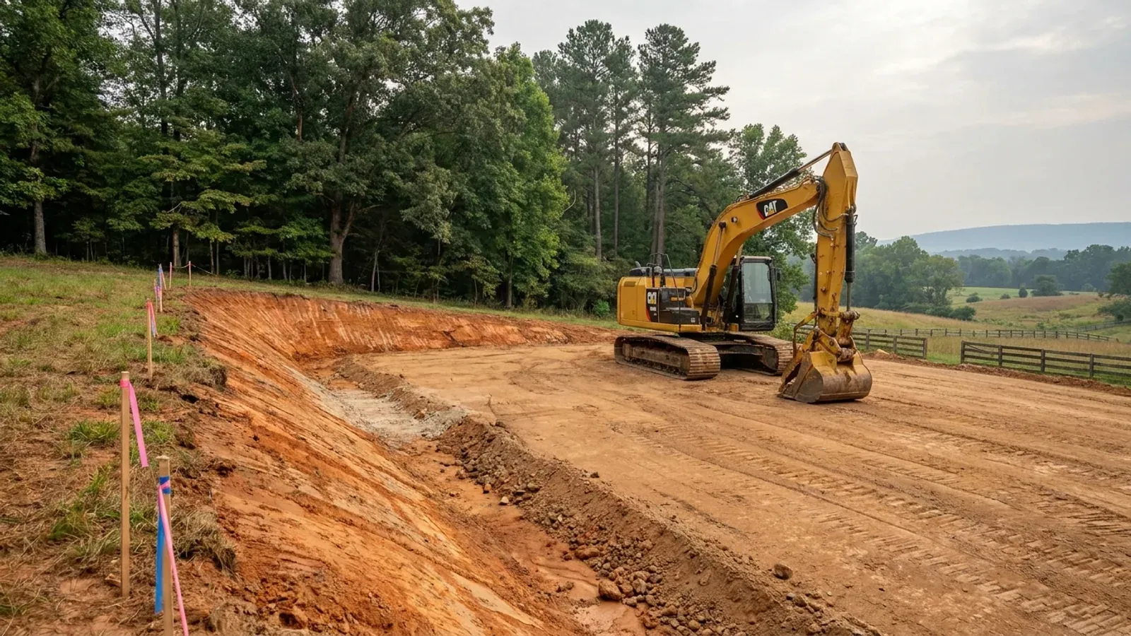
An excavator grading a compacted building pad on a cleared lot, with survey stakes, a drainage swale and a silt fence along the downhill edge.
Below the slab

The expensive surprises are in the ground, not the building

What moves a North Carolina budget is usually below grade, and the thing most often got wrong is which clay to worry about. Cecil — the red Piedmont clay everyone pictures, and the state soil — is kaolinitic and low shrink-swell; it does not heave. The soil that does is Iredell, formed over diabase and gabbro, which the USDA describes as vertic, very high shrink-swell, with a perched water table a foot or two down from December through April. The tell is colour: Cecil is red and Iredell is dark grey-brown, and they sit within a few miles of each other across the central Piedmont. West of that the question stops being clay and becomes slope, rock and colluvium; east of the fall line it becomes water, and in the Tidewater it becomes organic soil that subsides irreversibly once it is drained. Then the same ground decides the septic system, and North Carolina rewrote those rules recently enough that most of what is published about them is out of date. 15A NCAC 18E replaced the old subchapter on 1 January 2024 and was amended again on 1 June 2026: the site is classified on soil morphology — the word "percolation" does not appear anywhere in it — and there is no "provisionally suitable" any more, only suitable or unsuitable, on a single failed parameter. There is no statewide minimum lot size either; the area you need is derived from the soil result and then doubled, because a site that cannot fit both the initial field and its repair area is unsuitable. And the order matters more than people expect: the county health department's Improvement Permit and Construction Authorization come first, and the building permit is available on the strength of the Construction Authorization, not before it. One more thing that catches people: disturb more than an acre and you need an approved erosion and sedimentation control plan in hand before work starts, with penalties up to $5,000 a day, and a pad plus a drive plus a drainfield plus a laydown area crosses an acre faster than it sounds. So the site work, the foundation and the drainfield get resolved together rather than one at a time. We price the dirt before we price the building.

What a build looks like

Three stages every Lenoir County project passes through, from a raw parcel to a finished home. Site work first, because that is where the budget is decided.
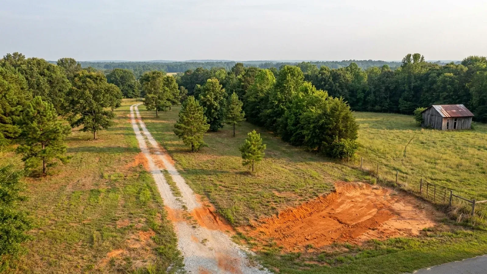
Aerial view of an undeveloped rural lot with cleared grass, a mixed oak, hickory and pine treeline, exposed red clay in one corner and a pale gravel access track.
Stage one

The parcel

Zoning, setbacks, flood zone and utility access get checked before anything is drawn.

An excavator grading a compacted building pad on a cleared lot, with survey stakes, a drainage swale and a silt fence along the downhill edge.
Stage two

Pad and permit

Clearing, grading and a compacted pad, while the septic authorization and the building submittal work through whichever offices cover your parcel.
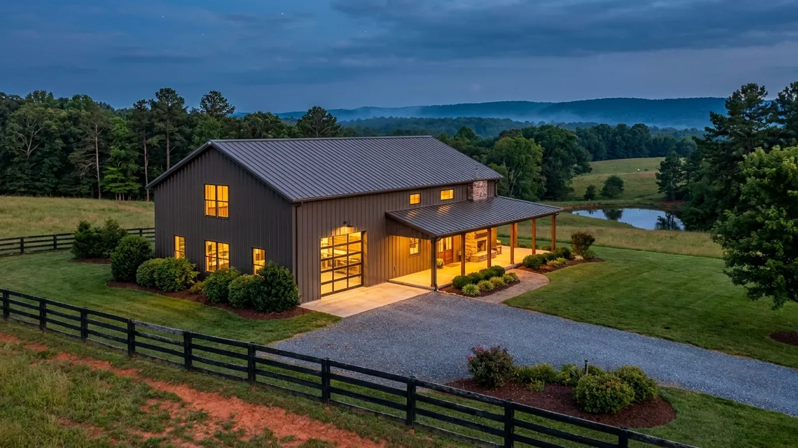
A finished barndominium at dusk with warm interior lighting glowing through its large windows.
Stage three

Frame to finish

Shell erected and dried in, then systems, insulation and interior finish through to CO.

Those are the rules where you are building in Lenoir County. Tell us what you want to build and we will draw it to them.

Where we build around Lenoir County

Lenoir County and the rural land around it. The buildable acreage for a project this size usually sits outside the town limits — which does not automatically put it under the county, because a town's zoning and building-code enforcement reach one to three miles past its limits into its extraterritorial jurisdiction. Inside the limits, in the ETJ, or in neither are three different answers to who issues your permit.

The Lenoir County service area, including the rural acreage outside the built-up edge, which is where the parcels big enough for a build like this usually sit. The map marks the territory we build in. It is not a branch location, and there is no office at this pin.

Nearby areas we build in

Others we cover nearby. Every North Carolina municipality sits inside a county — there are no independent cities here — but that does not settle who regulates a given parcel. A town's zoning, subdivision rules and building-code enforcement extend one to three miles beyond its limits, by population, into what the statute calls its extraterritorial jurisdiction; town taxes and town elections do not follow. So the office that issues the permit, what it charges and how the land is zoned can all differ from one card to the next, and the mailing address will not tell you which case you are in.

Building in Lenoir County: common questions

7 questions we get asked most often about building in Lenoir County. If yours is not on the list, ask it directly.

Is Lenoir County the same place as the town of Lenoir?
No, and they are about 250 miles apart. Lenoir County is in the Coastal Plain and its seat is Kinston. The town of Lenoir is the seat of Caldwell County, in the foothills west of Hickory. Nothing on this page applies there: Caldwell County has a different wind speed row, a different fee schedule, a different health department and a different set of zoning ordinances. North Carolina does this a lot — 21 towns share a name with a county and 15 of them are in a different county, so Rockingham the city is in Richmond County, Henderson the city is in Vance County and Washington the city is in Beaufort County. Two more name checks matter inside Lenoir County itself. Grifton straddles the Pitt and Lenoir line, with most of its population on the Pitt side, so a Grifton address is not proof of which county permits the parcel. And La Grange and Pink Hill administer their own zoning inside their limits, with Lenoir County linking to both from its own planning page. Before you make an offer, confirm the county from the parcel identification number on the deed rather than from the mailing address.
Who actually issues the building permit for land in Lenoir County?
Lenoir County Planning and Inspections, almost everywhere — and since 17 January 2023 that includes inside the City of Kinston. The city's own permits page states that under an interlocal agreement of that date, any new building, mechanical, electrical or plumbing permit is handled by Lenoir County Inspections, while the City of Kinston remains responsible for development plan review, change of use, land disturbance, demolitions, signs, zoning compliance, zoning certification, ABC licences and fire inspections inside the city limits and its extraterritorial jurisdiction. That last phrase is the one to notice. Under G.S. 160D-202 a city's zoning, subdivision regulation and building-code enforcement extend beyond the corporate limits — one mile under 10,000 people, two miles from 10,000 to 24,999, three miles at 25,000 or more, measured from the contiguous corporate boundary rather than from a satellite annexation. City property tax, city voting, city police jurisdiction and city business licensing do not extend there. So a rural-looking parcel outside Kinston can need a city zoning sign-off and a county building permit, and the owner pays no city tax and cannot vote in a city election. G.S. 160D-307 answers part of that by requiring ETJ residents on the city's planning board and board of adjustment. Inside La Grange, Pink Hill or Grifton, that town's zoning governs. The boundary is recorded with the county register of deeds and drawn on the town's zoning map, and that is what to look at before you buy.
What does a building permit cost in Lenoir County, and how is the area measured?
Lenoir County's fee schedule, titled effective 1 July 2024, charges new residential construction on three per-square-foot lines that stack: $0.18 for the building permit, $0.10 for plumbing, electric and mechanical together, and $0.05 for insulation, each with a $75 minimum. Residential plan review is listed at no charge. Accessory buildings, storage, porches and decks are their own category at $0.14 per square foot for the building permit and $0.08 for the trades. For a barndominium the live question is which of those two categories the shop bay lands in, and the schedule does not say — nor does it define whether the square footage is heated area or gross area under roof. Ask the department and get the answer in writing before you budget. That ambiguity is not unusual in this state and neither is the shape of the answer: there is no North Carolina permit fee, there are one hundred county answers, and the basis differs as much as the rate. Some counties charge on heated area only, so an unheated shop is free; others charge on everything under the roof. Both figures above were read from Lenoir County's own published schedule on 6 September 2026.
What wind speed and seismic category do Lenoir County plans have to be drawn to?
Lenoir County is named in Table R301.2(4) of the 2018 NC Residential Code at an ultimate design wind speed of 130 mph, and that is a flat figure — no footnote, no road split, no elevation rule. The 2024 edition, adopted but with no effective date at all, keeps 130 for Lenoir County, so a set of plans drawn to either edition lands on the same number here. Lenoir County is absent from Table R301.2(7), the list of Seismic Design Category C counties, and that table's note places every county not named in Category A or B. Three figures are the same everywhere in the state and are worth knowing: the code sets a flat 20 psf roof live load; it carries no ground snow load column at all, because Section R301.2.3 is deleted; and termite protection is required in all of North Carolina under Section R318. That last one has a sting for a metal building. North Carolina deleted cold-formed steel framing from the accepted methods of termite protection, so building in steel does not satisfy R318 here even though it does in the model code — a steel barndominium still needs chemical treatment or baiting. There is also no residential carve-out from the engineering requirement: G.S. 83A-13(c)(1) exempts a family residence from needing an architect, but G.S. 89C-25 has no equivalent for engineering, and R301.1.2 requires an alternative framing system to demonstrate equivalent detailing. Budget for a professional engineer licensed in North Carolina.
Do I need the septic permit before the building permit, and can I hire my own soil scientist?
Yes to the first, and yes to the second — and in Lenoir County the second is priced on the schedule. Under 15A NCAC 18E the health department evaluates the soil and site and, if it classifies the site suitable, issues an Improvement Permit fixing the design daily flow, the bedroom count, the setbacks and the location of both the initial dispersal field and the repair area. The Construction Authorization follows, and .0201(c) provides that on its issuance the applicant may obtain a building permit under G.S. 130A-338. Two things about the current rules surprise people who last did this a decade ago. First, the classification is binary: .0509(a) says a site with all parameters suitable is suitable and any parameter determined unsuitable makes the whole site unsuitable, and .0509(d) bars an Improvement Permit on an unsuitable site. "Provisionally suitable" was repealed and appears nowhere in the current subchapter, though it still shows on older permits and county records. Second, .0508(b) makes a site unsuitable if it cannot fit both the initial system and a repair area, so the acreage you need is the drainfield the soil group gives you, doubled, plus every setback. Lenoir County Environmental Health prices the county route at $250 for the application and site evaluation covering the IP, CA and Operation Permit, and prices the private route separately: (A2) IP $150, (A2) CA $50, (A2) IP-CA $100 and EOP/AOWE $35 — the 18E .0202(g) path where a licensed soil scientist does the fieldwork under G.S. 130A-335(a2) and submits it with the application. Wells are $200 for siting, permitting and inspections plus $150 for the sample visit and testing. Those fees are dated 19 February 2024.
Does the Neuse riparian buffer rule affect a parcel in Lenoir County?
It can, and the trigger is a map rather than a stream you can see. Buffers apply by river basin, not by county, and the Neuse rule is 15A NCAC 02B .0714 — most secondary sources still cite .0233, which was transferred out on 15 June 2020, so a search that turns up the old number is a sign the advice is stale. The buffer is 50 feet in two zones: 30 feet of undisturbed vegetation and 20 feet of stable vegetation, measured horizontally from the most landward limit of the top of bank on both sides of an intermittent or perennial stream, and taken as a radius where a stream begins, ends, goes underground or enters or exits a culvert. Zone 2 has some give — grading and revegetating it is allowed provided the health of Zone 1 vegetation is not compromised — and Zone 1 has none. What catches rural buyers is .0714(3)(a): a surface water is subject to the rule if it is approximately shown on the most recent NRCS soil survey stream layer, the USGS National Map or another map the Environmental Management Commission has approved, whether or not anything is running on the ground in August. And .0714(3)(g) states that no new clearing, grading or development shall take place nor any new building permits be issued in violation of the rule — the buffer can stop the permit. The remedy is the on-site determination under .0714(4), made by staff certified under G.S. 143-214.25A, which can take a ditch, an ephemeral stream or a manmade pond with no stream connection off the map; a dispute goes to the Director in writing within 60 calendar days. Then read .0714(9) before you design the driveway: runoff into the buffer must meet dispersed flow as defined in 15A NCAC 02H .1002, so a drive that channels water into a ditch crossing the buffer is a regulated conveyance.
Which Lenoir County amendments to the building code do I need to check?
There are none, and saying so plainly is the opposite of the advice given nearly everywhere else in this trade. G.S. 143-138(e) provides that the North Carolina State Building Code shall apply throughout the State from the time of its adoption. The only two instruments a city or county may adopt of its own are a fire prevention code — which needs Residential Code Council approval and may not reach one- and two-family dwellings beyond what the Residential Code prescriptively requires — and floodplain management regulations. There is no general power for a county to change a structural, foundation or energy requirement, so there is no Lenoir County package to hunt down. What genuinely is local, and what the rest of this page is about, is a different list: zoning under Chapter 160D, the fee schedule, the health department, extraterritorial jurisdiction, floodplain regulation, and the wind and seismic numbers published county by county inside the one statewide code. Lenoir County's floodplain ordinance is the exception that proves the rule — adopted 7 July 1980, amended 6 April 2020, and setting the Regulatory Flood Protection Elevation at the base flood elevation plus two feet, or two feet above the highest adjacent grade where no base flood elevation exists.

Building in Lenoir County?

Start with the plan. Tell us what you want to build and we will draw it, then confirm which office issues the permit for your parcel, what it will let you put there, and what wind load it has to meet. That conversation costs nothing.