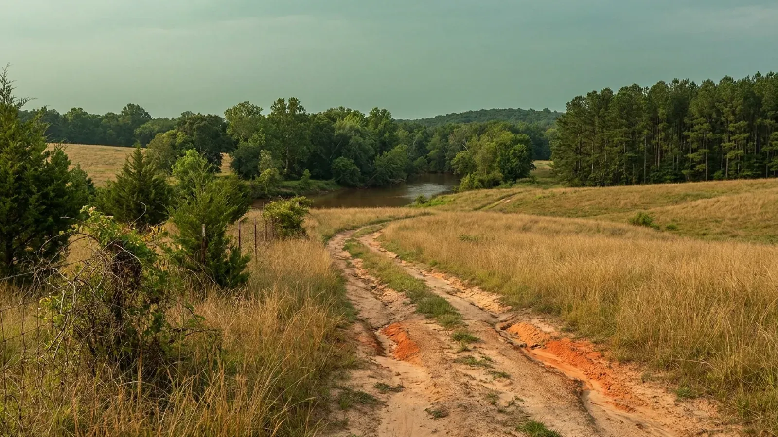
Rolling farmland and mixed hardwood near the fall line with red soil showing in a farm track, dense loblolly pine on one edge and a wooded creek bottom beyond.
Granville County 2018 NC Residential Code, statewide

Barndominium Builders in Granville County, NC

Granville County is the Triangle ring county with land actually left in it. The 2022 Census of Agriculture puts its median farm at 85 acres — against a statewide median of 48, and against 40 in Johnston, 40 in Harnett, 47 in Lee, 49 in Chatham, 57 in Franklin and 61 in Person. That is the largest median in the whole Raleigh-Durham ring, on 483 farms covering 102,115 acres, 30 percent of the county, and it ranks Granville 32nd of the 100 counties for land in farms. Population is 61,421 across 532 square miles at 115 people per square mile, and it grew 0.7 percent between 2020 and 2025 — so this is a land-availability county, not a boom county, and copy that borrows Wake County's language about it would be wrong. The seat is Oxford; Creedmoor and Butner sit on the southern edge against Falls Lake, Stem and Stovall are smaller. Two things are worth knowing before you buy. The permitting is unusually cleanly split: every one of those five towns does its own zoning, and Granville County issues every building permit — and the county will not process the application until the signed zoning permit and the health department permits are attached to it. And the county's southern half drains to Falls Lake, where the nutrient rules have been revised and extended by the legislature so many times that citing a rule number is not enough. What is actually in force is worth stating carefully, and the county's own adopted 2026-2027 fee manual settles part of it by carrying a Falls Lake watershed stormwater review escrow as a live line item. On the design numbers Granville is the simple case: it is not named in Table R301.2(4) of the 2018 NC Residential Code, so it takes the unlisted default of 115 mph, and it is absent from the Seismic Design Category C list in Table R301.2(7).

Granville County at a glance

County
Granville County
City rules outside city limits
Five towns run their own zoning in Granville County — Oxford, Creedmoor, Butner, Stem and Stovall — while Granville County issues the building permit for all of them, so the zoning line and the permit line are drawn by two different governments.
Population
61,421
ZIP codes
27507, 27509, 27522, 27565, 27581, 27582
Site visits
Same week across Granville County

Building conditions in Granville County

The building code does not change at a county line here. Under § 143-138(e) the North Carolina State Building Code applies throughout the state, and a city or county may adopt only a fire prevention code and floodplain regulations of its own — there is no general local amendment power, so there are no county amendments to look up. The edition in force is still the 2018 NC Residential Code, effective 1 January 2019; the 2024 edition has been delayed three times and carries no effective date at all. What genuinely differs is who issues the permit and inspects the work, what that office charges, how the parcel is zoned, what the local floodplain ordinance requires of the foundation — and two design numbers the code publishes county by county, the ultimate design wind speed and the seismic design category. The rest of Table R301.2 is set once for everyone: a flat 20 psf roof live load, a 12-inch frost line, Moderate weathering, and termite protection required everywhere in the state with no exemption. There is no ground snow load column in the residential code at all.

Build conditions for Granville County , North Carolina : ultimate design wind speed 115 mph. BUILD CONDITIONS GRANVILLE COUNTY, NCGranville County2018 NC RESIDENTIAL CODEULTIMATE DESIGN WIND SPEED115 mphGranville County is not named in Table R301.2(4) of the 2018 NC Residential Code, so it takes thattable's unlisted default of 115 mph — the floor of the code, shared with 50 other counties.WHO ISSUES THE PERMITGranville County Development Service…122 Williamsboro Street, Oxford. Issues the building permitcountywide; towns issue their own zoning permits; well and septic g…
Build conditions for Granville County, drawn from the sourced facts on this page. Every figure above is cited in the quick-facts panel below, with its source and vintage.
The biggest median farm in the Triangle ring
The 2022 Census of Agriculture puts Granville County's median farm size at 85 acres. The statewide median is 48. Around the rest of the Raleigh-Durham ring it is 40 in Johnston, 40 in Harnett, 47 in Lee, 49 in Chatham, 57 in Franklin and 61 in Person — so Granville's median is the largest of any ring county by a clear margin, and it is nearly double the state figure. The county has 483 farms on 102,115 acres, 30 percent of its land area, ranking it 32nd of the 100 counties for land in farms. The mean farm is 211 acres. Density is 115 people per square mile across 532 square miles. The trade-off is honest and should be stated: Granville grew 0.7 percent between 2020 and 2025 with net in-migration of +871, against 18.7 percent in Johnston and 19.5 percent in Franklin. This is a land county rather than a boom county, and the reason there is still acreage here is precisely that the growth went elsewhere.

USDA NASS 2022 Census of Agriculture, county profiles; U.S. Census Bureau Vintage 2025 county population estimates and 2025 Gazetteer county land areas.

What is actually in force at Falls Lake in 2026
The Falls Lake nutrient rules are codified at 15A NCAC 02B .0275 through .0282, and the legislature has moved their implementation repeatedly — which is why quoting a rule number without its statutory history is misleading. NC DEQ's own Falls Lake Nutrient Strategy page states the position: Session Law 2016-94 created the NC Policy Collaboratory to oversee the Falls studies, whose final report was submitted in December 2023, and Session Law 2018-5 extended implementation of the Falls Stage I requirements until the rules are readopted and extended the deadline for beginning that readoption to 31 December 2024. Stage I was originally written to run through 2020 with the objective of meeting water quality standards in the lower lake; Stage II seeks further reductions in the upper watershed with the overall goal of achieving all reductions by 2041. So the honest 2026 statement is that Stage I is still the operative stage, held open by statute rather than by its own terms, and readoption has not concluded. That is a live process, and a page built on it should carry its date. Granville County's own adopted 2026-2027 Fee Manual settles the practical half: it carries a base escrow deposit of $1,000 for technical consulting review for Falls Lake Watershed stormwater compliance "if rules are triggered", to be replenished before a zoning permit issues, plus a $300 fast-track stormwater plan review. A county does not budget for a review that does not happen.

NC DEQ, Falls Lake Nutrient Strategy, deq.nc.gov, read 6 September 2026 (15A NCAC 02B .0275-.0282; S.L. 2016-94; S.L. 2018-5); 2026-2027 Granville County Fee Manual, adopted 15 June 2026, granvillecounty.org, read 6 September 2026.

The Falls buffer is a different rule, and it was never delayed
The riparian buffer that applies in the Falls Lake watershed is not one of the Falls nutrient rules at all. It is the Neuse buffer rule, 15A NCAC 02B .0714, whose own text expressly covers the Neuse River Basin including the Falls of the Neuse Reservoir watershed. Nothing in the Falls delays touched it. It is 50 feet in two zones: 30 feet of undisturbed vegetation beginning at the most landward limit of the top of bank, and a further 20 feet of stable vegetation, measured horizontally on both sides of an intermittent or perennial stream, and taken as a radius where a stream begins, ends, or enters or exits a culvert or wetland. Three details matter to a buyer here. A surface water is buffered if it is approximately shown on the NRCS soil survey map or the USGS National Map, whether or not anything is visible on the ground. The on-site determination that can take a mapped ditch, ephemeral stream or unconnected farm pond back off the map is made by the Authority and expires five years from its date. And the existing-use exemption baseline in the Neuse and Falls watershed is 22 July 1997 — a different date from the Jordan watershed on the other side of the Triangle, where it is 11 August 2009.

15A NCAC 02B .0714(1), (3), (4), (6) and (8), NC Office of Administrative Hearings rule text, reports.oah.state.nc.us, read 6 September 2026; 15A NCAC 02B .0267(6), same source.

The permit is a bracket, it says gross square feet, and it covers all four trades
The 2026-2027 Granville County Fee Manual, adopted 15 June 2026, prices a new home or modular home as a flat bracket rather than a rate — and it labels the basis in as many words: "New Homes & Modular Homes [Based on Gross SF]", with a column headed Total (All 4 Trades). Up to 1,200 square feet is $647; 1,200 to 2,000 is $845; 2,001 to 3,000 is $1,080; 3,001 to 5,000 is $1,440; and above 5,000 it is $1,440 plus $0.36 per square foot over 5,000. Plan review for a residential dwelling is $75, the Homeowners Recovery Fund fee is $10, and a temporary service pole inspection is $75. A separate zoning permit for a single-family dwelling is $80. For a barndominium two things follow. Gross square footage means the shop bay is inside the fee base — the opposite of Guilford County, which charges on heated area only — but because the bracket covers all four trades you are not then billed separately for electrical, plumbing and mechanical, as you are in several neighbouring counties. And the brackets are cliffs: a 3,000 square foot building pays $1,080 and a 3,001 square foot building pays $1,440.

2026-2027 Granville County Fee Manual, adopted 15 June 2026, Inspections Fees and Planning Fees sections, granvillecounty.org, read 6 September 2026; Guilford County Inspections Department fee panels, guilfordcountync.gov, read 5 September 2026.

Two soil series are named after places in this county, and they behave oppositely
Granville County sits on the northern end of the same Triassic basin system that runs down through Durham to Sanford, and two USDA soil series carry local names. The GRANVILLE series was established in Granville County in 1910: very deep, well drained, fine-loamy, formed in residuum weathered from Triassic sandstone and shale, with LOW shrink-swell throughout. That is straightforward ground. The CREEDMOOR series, named for the town on the county's southern edge, formed in residuum from the same Triassic sandstone, mudstone, siltstone and shale — but it is an Aquic Hapludult, moderately well to somewhat poorly drained, with HIGH shrink-swell potential in the clay, low saturated hydraulic conductivity, a seasonal high water table 12 to 24 inches down and a perched water table one to two feet down from January through March. USDA's September 2025 revision moved the series' typical pedon to Granville County, because the previous type location in Durham County had been covered by an industrial park. Two soils on the same parent rock, one fine for a slab and one a three-problem site, and the difference is not visible from a road. Section R401.4 of the Residential Code lets the building official require a soil test where soil characteristics are questionable.

USDA NRCS Official Series Descriptions, GRANVILLE series (revised 10/2021) and CREEDMOOR series (revised 09/2025), soilseries.sc.egov.usda.gov, read 6 September 2026; 2018 NC Residential Code § R401.4.

Five towns zone it; the county permits all of it
Granville County publishes the sequence for a new stick-built or modular home as five steps, and the first two are the ones that set the timetable. Step one is a zoning permit, obtained from Granville County Zoning if the property is outside city limits, or from City of Oxford Zoning, City of Creedmoor Zoning, Town of Butner Zoning, Town of Stovall Zoning or Town of Stem Zoning if it is inside one. Step two is the well and septic permits from Granville Vance Public Health, skipped only where the property is on city water and sewer. Step three is appointing a lien agent under North Carolina law for projects beginning on or after 1 April 2013. Only then does the building permit application go to Granville County Development Services at 122 Williamsboro Street in Oxford — and the county states in capitals that the application will not be processed unless the signed zoning permit, the health department permits, the signed application and detailed drawings are all attached. That is a genuinely useful thing to know in advance, because it means the county counter is the last stop rather than the first.

Granville County, "Steps for Obtaining a Building Permit for: New Houses (Stick-Built or Modular)", granvillecounty.org document centre, read 6 September 2026.

Also worth knowing before you build in Granville County

Falls Lake sets a tighter nutrient number than the rest of the Neuse
The Neuse buffer rule prices stormwater differently inside the Falls watershed than outside it, and the two figures are in the same paragraph of the same rule. Under 15A NCAC 02B .0714, a new drainage conveyance may be allowable where the drainage area to it is demonstrated by approved nutrient calculation methodologies to meet a nutrient loading goal of 3.6 pounds per acre per year of nitrogen outside the Falls of the Neuse Reservoir watershed — but within the Falls watershed the goal is 2.2 pounds per acre per year of nitrogen and 0.33 pounds per acre per year of phosphorus. Southern Granville drains to Falls Lake and northern Granville does not, so which side of the divide a parcel sits on changes the arithmetic a designer has to satisfy for a driveway culvert or a piped ditch crossing a buffer. Buffer and nutrient rules follow river basins rather than county lines, and Granville is a county the line runs through.

15A NCAC 02B .0714, table of allowable uses for new drainage conveyances, NC Office of Administrative Hearings rule text, reports.oah.state.nc.us, read 6 September 2026.

The health department covers two counties, not one
Septic and well permits in Granville County are issued by Granville Vance Public Health, a district health department serving Granville and Vance counties together rather than a single-county department of the kind Chatham and Lee each run. That is the office that applies 15A NCAC 18E here. Under 18E .0201(b) the order is Improvement Permit, then Construction Authorization, then Operation Permit, and .0201(c) provides that upon issuance of the Construction Authorization the applicant may obtain a building permit under G.S. 130A-338 — so on a well-and-septic parcel the health department, not the inspections counter, sets the start date. A Construction Authorization may issue at the same time as the Improvement Permit where the Improvement Permit carried no conditions. Since 15A NCAC 18E took effect on 1 January 2024, replacing 15A NCAC 18A .1900, the site classification is binary: .0509(a) makes a site suitable only if every parameter is suitable, and a single unsuitable parameter makes the whole site unsuitable. "Provisionally suitable", still used on most competitor pages, describes a repealed rule. If a site is classified unsuitable, .0203(c) entitles the applicant to a signed written report describing the unsuitable characteristics and citing the rules relied on.

Granville County, "Steps for Obtaining a Building Permit" (Granville-Vance Health Department for well and septic), granvillecounty.org, read 6 September 2026; 15A NCAC 18E .0201, .0203 and .0509, NC Office of Administrative Hearings, read 5 September 2026.

Granville is in no metro area at all
On the current OMB delineations carried in the Census Bureau's 2025 metropolitan and combined-area estimates files, Granville County belongs to no Metropolitan or Micropolitan Statistical Area — it is one of 29 North Carolina counties in none — even though it borders Durham County and sits inside the Triangle's commuter ring. That has a practical consequence worth knowing: market reports, lender data and site-selection lists built from metro tables simply drop Granville, along with several of the state's best acreage counties. It also means the county is not carried inside the Raleigh-Durham-Cary Combined Statistical Area, unlike Wake, Durham, Orange, Johnston, Franklin, Chatham, Person, Harnett, Lee and Vance. The land is here; the statistics are not.

U.S. Census Bureau, cbsa-est2025-alldata.csv and csa-est2025-alldata.csv (2020-2025 metropolitan and combined statistical area totals), census.gov.

You need room for two drainfields, and no minimum lot size to hide behind
15A NCAC 18E .0508 requires a site to have space for both the initial dispersal field and a repair area, each meeting every setback and each accessible for operation and maintenance, and .0508(b) makes a site unsuitable if it cannot fit both. The usable area a soil scientist derives from your soil result is therefore effectively doubled before it becomes a lot-size answer, and there is no statewide minimum lot size for septic to fall back on. The only carve-out is for lots recorded on or before 1 January 1983 with domestic flow of 480 gallons per day or less. Two other parameters decide most rural sites: .0505 requires at least 18 inches of soil to rock, saprolite or parent material, and .0507 requires any restrictive horizon three inches or thicker to lie at least 18 inches down. On a county with a median farm of 85 acres this is rarely the binding constraint — but it is the reason a five-acre cut-out on the wrong part of a farm can fail while the farm around it would have passed.

15A NCAC 18E .0505, .0507 and .0508, NC Office of Administrative Hearings, read 5 September 2026.
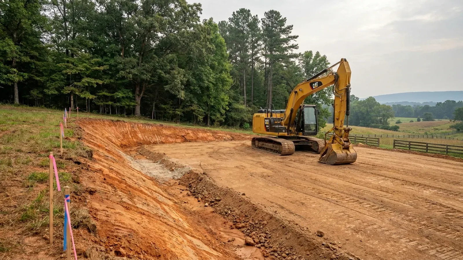
An excavator grading a compacted building pad on a cleared lot, with survey stakes, a drainage swale and a silt fence along the downhill edge.
Below the slab

The expensive surprises are in the ground, not the building

What moves a North Carolina budget is usually below grade, and the thing most often got wrong is which clay to worry about. Cecil — the red Piedmont clay everyone pictures, and the state soil — is kaolinitic and low shrink-swell; it does not heave. The soil that does is Iredell, formed over diabase and gabbro, which the USDA describes as vertic, very high shrink-swell, with a perched water table a foot or two down from December through April. The tell is colour: Cecil is red and Iredell is dark grey-brown, and they sit within a few miles of each other across the central Piedmont. West of that the question stops being clay and becomes slope, rock and colluvium; east of the fall line it becomes water, and in the Tidewater it becomes organic soil that subsides irreversibly once it is drained. Then the same ground decides the septic system, and North Carolina rewrote those rules recently enough that most of what is published about them is out of date. 15A NCAC 18E replaced the old subchapter on 1 January 2024 and was amended again on 1 June 2026: the site is classified on soil morphology — the word "percolation" does not appear anywhere in it — and there is no "provisionally suitable" any more, only suitable or unsuitable, on a single failed parameter. There is no statewide minimum lot size either; the area you need is derived from the soil result and then doubled, because a site that cannot fit both the initial field and its repair area is unsuitable. And the order matters more than people expect: the county health department's Improvement Permit and Construction Authorization come first, and the building permit is available on the strength of the Construction Authorization, not before it. One more thing that catches people: disturb more than an acre and you need an approved erosion and sedimentation control plan in hand before work starts, with penalties up to $5,000 a day, and a pad plus a drive plus a drainfield plus a laydown area crosses an acre faster than it sounds. So the site work, the foundation and the drainfield get resolved together rather than one at a time. We price the dirt before we price the building.

What a build looks like

Three stages every Granville County project passes through, from a raw parcel to a finished home. Site work first, because that is where the budget is decided.
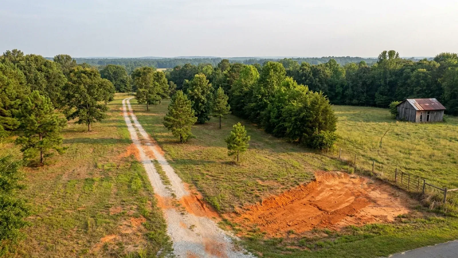
Aerial view of an undeveloped rural lot with cleared grass, a mixed oak, hickory and pine treeline, exposed red clay in one corner and a pale gravel access track.
Stage one

The parcel

Zoning, setbacks, flood zone and utility access get checked before anything is drawn.

An excavator grading a compacted building pad on a cleared lot, with survey stakes, a drainage swale and a silt fence along the downhill edge.
Stage two

Pad and permit

Clearing, grading and a compacted pad, while the septic authorization and the building submittal work through whichever offices cover your parcel.
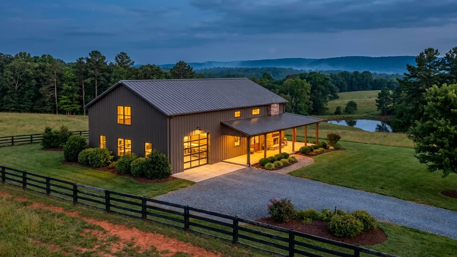
A finished barndominium at dusk with warm interior lighting glowing through its large windows.
Stage three

Frame to finish

Shell erected and dried in, then systems, insulation and interior finish through to CO.

Those are the rules where you are building in Granville County. Tell us what you want to build and we will draw it to them.

Where we build around Granville County

Granville County and the rural land around it. The buildable acreage for a project this size usually sits outside the town limits — which does not automatically put it under the county, because a town's zoning and building-code enforcement reach one to three miles past its limits into its extraterritorial jurisdiction. Inside the limits, in the ETJ, or in neither are three different answers to who issues your permit.

The Granville County service area, including the rural acreage outside the built-up edge, which is where the parcels big enough for a build like this usually sit. The map marks the territory we build in. It is not a branch location, and there is no office at this pin.

Nearby areas we build in

Others we cover nearby. Every North Carolina municipality sits inside a county — there are no independent cities here — but that does not settle who regulates a given parcel. A town's zoning, subdivision rules and building-code enforcement extend one to three miles beyond its limits, by population, into what the statute calls its extraterritorial jurisdiction; town taxes and town elections do not follow. So the office that issues the permit, what it charges and how the land is zoned can all differ from one card to the next, and the mailing address will not tell you which case you are in.

Building in Granville County: common questions

6 questions we get asked most often about building in Granville County. If yours is not on the list, ask it directly.

Who issues the building permit in Granville County, and in what order?
Granville County Development Services at 122 Williamsboro Street in Oxford issues the building permit everywhere in the county, including inside the municipalities. What the towns keep is zoning. The county publishes the sequence for a new stick-built or modular home and it is worth following exactly. Step one is a zoning permit, from Granville County Zoning if the property is outside city limits, or from City of Oxford Zoning, City of Creedmoor Zoning, Town of Butner Zoning, Town of Stovall Zoning or Town of Stem Zoning if it is inside one. Step two is well and septic permits from Granville Vance Public Health, skipped only if the property is on city water and sewer. Step three is appointing a lien agent, which North Carolina law has required for construction projects beginning on or after 1 April 2013. Step four is detailed drawings or plans. Only then does the building permit application go in, online through the county portal or in person — and the county states plainly that an application arriving without the signed zoning permit, the health department permits, the signed application form and the drawings will not be processed. So the building permit is the last document, not the first, and the septic timetable is the real critical path. Under G.S. 160D-202 a town's zoning jurisdiction can also reach one to three miles beyond its corporate limits depending on population, over land that pays no town tax and votes in no town election, so the zoning question is settled by the official zoning map rather than by a mailing address.
Are the Falls Lake rules still in effect, and what do they mean for my land?
They are, but not in the shape most articles describe, and the useful answer separates two different bodies of rule. The nutrient rules themselves are 15A NCAC 02B .0275 through .0282. NC DEQ states that Session Law 2018-5 extended implementation of the Falls Stage I requirements until the rules are readopted and extended the deadline for beginning readoption to 31 December 2024, and that Stage I originally ran through 2020 targeting the lower lake while Stage II seeks further reductions in the upper watershed with an overall goal of 2041. The NC Policy Collaboratory, created by Session Law 2016-94, delivered its final Falls report in December 2023. So Stage I is still the operative stage, held open by statute, and readoption has not concluded — which is why quoting an original rule deadline as if it were the current one gets it wrong. Granville County's own 2026-2027 Fee Manual, adopted 15 June 2026, confirms the practical position by carrying a $1,000 base escrow for technical consulting review of Falls Lake Watershed stormwater compliance where the rules are triggered, and a $300 fast-track stormwater plan review. Separately, and more likely to affect a single rural parcel, the riparian buffer in the Falls watershed comes from the Neuse buffer rule, 15A NCAC 02B .0714, which expressly covers the Falls of the Neuse Reservoir watershed and was not part of any of the Falls delays. That is 50 feet in two zones and it applies by basin, not by county — which matters here because northern Granville does not drain to Falls at all.
There is a blue line across my property on the map. Is there really a buffer?
On paper, yes, and there is a defined way to test it. Under 15A NCAC 02B .0714(3) a surface water is subject to the Neuse buffer rule — the rule that covers the Falls of the Neuse Reservoir watershed — if the feature is approximately shown on the most recent published manuscript of the NRCS soil survey map showing stream layers, on the USGS National Map, or on other maps approved by the Environmental Management Commission. Nothing needs to be visible on the ground. The buffer is 50 feet total: Zone 1 is the inner 30 feet of undisturbed vegetation starting at the most landward limit of the top of bank or the rooted herbaceous vegetation, and Zone 2 is the outer 20 feet of stable vegetation, where grading and revegetating are allowed provided the health of Zone 1 is not compromised. Where a stream begins or ends, or enters or exits a culvert or wetland, the distance is measured as a radius around that point rather than as a strip. The remedy where the maps are wrong is the on-site determination under .0714(4), requested of the Authority and carried out by staff certified under G.S. 143-214.25A. It expires five years from its date, and disputes go to the Director in writing within 60 calendar days. What can come off the map: ditches and man-made conveyances other than modified natural streams, man-made ponds and lakes that are neither fed by nor discharging directly to an intermittent or perennial stream, ephemeral streams, and the plain absence on the ground of the waterbody shown. A farm ditch or a stock pond with no stream connection is exactly the case this provision exists for.
What does a permit cost in Granville County, and does the shop bay count?
It counts, and the county says so on the schedule. The 2026-2027 Granville County Fee Manual, adopted 15 June 2026, prices new homes and modular homes in brackets labelled "[Based on Gross SF]" with a column headed Total (All 4 Trades): $647 up to 1,200 square feet, $845 from 1,200 to 2,000, $1,080 from 2,001 to 3,000, $1,440 from 3,001 to 5,000, and $1,440 plus $0.36 per square foot above 5,000. Gross square footage means an attached shop bay is inside the base whether or not it is heated. The consolation is real though: because the bracket covers all four trades, there is no separate electrical, plumbing or mechanical permit to add, which is not true in every neighbouring county. Add plan review for a residential dwelling at $75, the $10 Homeowners Recovery Fund fee, a $75 temporary service pole inspection and an $80 zoning permit for a single-family dwelling. A detached accessory building is priced separately by size — $150 from 144 to 300 square feet, $225 from 301 to 1,000 and $300 from 1,001 to 2,000 — each plus $75 per trade, which is worth comparing against putting the same square footage under the main roof. Farm accessory buildings are charged at $75 per trade with plumbing and mechanical only where not exempt. Building without a permit doubles the fee and a stop-work order with no permits is $500. There is no North Carolina permit fee; there are one hundred county answers, and both the rate and the basis differ.
What wind speed and seismic category does a Granville County house have to be designed to?
Granville County is not named in Table R301.2(4) of the 2018 NC Residential Code, so it takes that table's unlisted default: an ultimate design wind speed of 115 mph, the floor of the code, shared by 51 of the 100 counties. Granville is also absent from Table R301.2(7), the list of Seismic Design Category C counties, whose note places every county not listed in Category A or B. Saying that plainly cuts against a sales pitch, which is why it is worth saying: a Granville County barndominium is not a wind engineering problem, and copy implying otherwise is selling against a hazard the code does not recognise here. The 2018 edition is the one in force. The 2024 edition has been adopted but carries no effective date at all, and the two disagree about six counties' wind speeds and four counties' seismic category, so a plan set should name the edition it was drawn to. Four things that are the same everywhere in the state: a flat 20 psf roof live load; no ground snow load column at all, because Section R301.2.3 is deleted; a 12-inch frost line with weathering rated Moderate and frost-protected shallow foundations under R403.3 deleted; and termite protection required in all of North Carolina under Section R318. On that last one, North Carolina deleted cold-formed steel framing from the accepted methods of termite protection, so building in steel does not satisfy R318 here the way it does under the model code — a steel barndominium still needs chemical treatment or baiting. Table N1101.7 puts Granville in IECC climate zone 4A.
Which Granville County code amendments do I need to check before I build?
None, and that is worth stating because it is the opposite of what most of this trade tells people. G.S. 143-138(e) provides that the North Carolina State Building Code shall apply throughout the State from the time of its adoption. The only two instruments a city or county may adopt of its own are a fire prevention code — which requires Residential Code Council approval and cannot reach one- and two-family dwellings beyond what the Residential Code prescriptively requires — and floodplain management regulations. There is no general local building-code amendment power at all, so no county here can impose a stricter structural, foundation or energy requirement on a house, and there is no Granville package to hunt down. What genuinely is local, and what this page is about, is a different list: zoning under Chapter 160D and which of six governments administers it on your parcel, the county fee manual, Granville Vance Public Health, extraterritorial jurisdiction, the Falls Lake watershed rules and the county's own watershed map, floodplain regulation, and the wind and seismic figures the one statewide code publishes county by county. One statewide point to weigh before engaging anyone: G.S. 83A-13(c)(1) exempts a family residence from the architect requirement, but G.S. 89C-25 has no residential carve-out for engineering, and Section R301.1.2 requires framing systems outside the prescriptive tables to demonstrate equivalent detailing. A barndominium in North Carolina is normally an engineered building with no exemption covering that engineering, and that is a real line in a budget.

Building in Granville County?

Start with the plan. Tell us what you want to build and we will draw it, then confirm which office issues the permit for your parcel, what it will let you put there, and what wind load it has to meet. That conversation costs nothing.