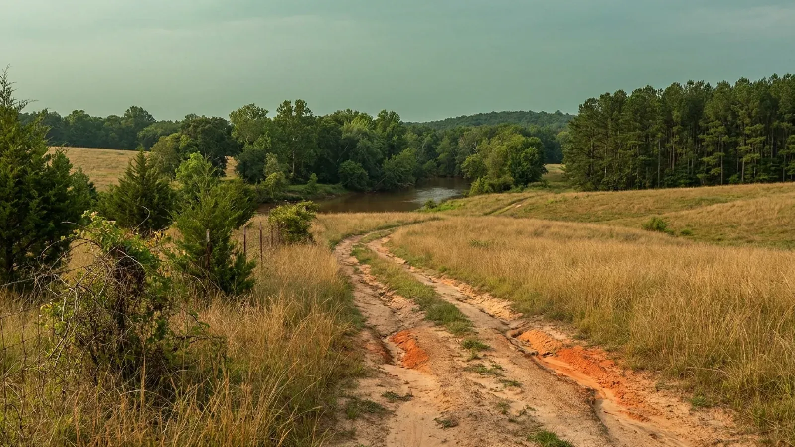
Rolling farmland and mixed hardwood near the fall line with red soil showing in a farm track, dense loblolly pine on one edge and a wooded creek bottom beyond.
Durham County 2018 NC Residential Code, statewide

Barndominium Builders in Durham, NC

Durham is the seat of Durham County and, at 305,561 people on the 2025 estimate, the fourth-largest city in North Carolina — and the city limits reach into three counties, with 305,116 residents in Durham, 298 in Wake and 147 in Orange. What makes it different from the rest of the Triangle is not the design numbers, which are the Piedmont's ordinary ones. It is that the city and the county run one planning system. There is a single Durham City-County Unified Development Ordinance, effective 1 January 2006, applying to all property within the jurisdiction of either the County or the City; the Board of Commissioners is the governing body for land in Durham County outside any city limits and the City Council for land inside the city, and each amends the same ordinance separately — the electronic edition records the current amendments as Durham County, 22 June 2026 and City of Durham, 15 June 2026. Permits and inspections are consolidated the same way: the City-County Building & Safety Department provides permit, plan review and inspection services for both the City and the County, administering the North Carolina State Building Code and the zoning ordinances for both. In Wake County next door, eight municipalities inspect their own and the county contracts for four; in Durham, one department covers the ground either way. The other Durham difference is underfoot, and it is the one that costs money. Durham sits over the Durham sub-basin of the Deep River Triassic basin, and the NC Geological Survey's own homeowner guide is unusually direct about what that means: the sedimentary rock is clay-rich and poorly sorted, well yields are typically very low with many dry holes drilled, and the soil does not perform adequately during percolation tests for septic drain fields. The soil that forms on it, USDA's White Store series, is classed Vertic with very high shrink-swell, slickensides in the clay and a seasonal high water table 12 to 24 inches down — and it is red, which is the point, because the usual Piedmont shorthand says red clay does not heave. Here it does.

Durham at a glance

County
Durham County
City rules outside city limits
Durham city and Durham county share one Unified Development Ordinance, so crossing the city line changes which board decides your case rather than which rules apply to your land.
Population
305,561
ZIP codes
27701, 27703, 27704, 27705, 27707, 27712, 27713
Site visits
Same week across Durham city and county

Building conditions in Durham

The building code does not change at a county line here. Under § 143-138(e) the North Carolina State Building Code applies throughout the state, and a city or county may adopt only a fire prevention code and floodplain regulations of its own — there is no general local amendment power, so there are no county amendments to look up. The edition in force is still the 2018 NC Residential Code, effective 1 January 2019; the 2024 edition has been delayed three times and carries no effective date at all. What genuinely differs is who issues the permit and inspects the work, what that office charges, how the parcel is zoned, what the local floodplain ordinance requires of the foundation — and two design numbers the code publishes county by county, the ultimate design wind speed and the seismic design category. The rest of Table R301.2 is set once for everyone: a flat 20 psf roof live load, a 12-inch frost line, Moderate weathering, and termite protection required everywhere in the state with no exemption. There is no ground snow load column in the residential code at all.

Build conditions for Durham , Durham County, North Carolina : ultimate design wind speed 115 mph. BUILD CONDITIONS DURHAM, NCDurham County2018 NC RESIDENTIAL CODEULTIMATE DESIGN WIND SPEED115 mphTable R301.2(4) of the 2018 NC Residential Code does not name Durham County, so the county fallsto that table's unlisted default of 115 mph — the floor of the code, shared with 50 other…WHO ISSUES THE PERMITDurham City-County Building & SafetyOne department for permits, plan review and inspections in both theCity of Durham and Durham County, enforcing the NC State Building…
Build conditions for Durham, drawn from the sourced facts on this page. Every figure above is cited in the quick-facts panel below, with its source and vintage.
One ordinance, two governing bodies, two amendment dates
Durham runs a single Durham City-County Unified Development Ordinance, effective 1 January 2006, which Sec. 1.4 applies to all properties within the jurisdiction of the County or the City. Sec. 2.1.1 then names two governing bodies for it: the Durham County Board of Commissioners for property located within Durham County but outside any city limits, and the Durham City Council for property inside the city limits. They amend the same document separately, which is why the electronic edition carries two dates — last amended Durham County, 22 June 2026 and City of Durham, 15 June 2026. A Joint City-County Planning Committee, set up under an Interlocal Cooperation Agreement on City-County Planning, reviews text amendments that touch both, and the Durham Planning Commission was created by the two boards jointly on 1 July 1988. This is not how the counties around it work.

Durham City-County Unified Development Ordinance, Secs. 1.1, 1.4, 1.8.1, 2.1.1, 2.2 and 2.3.1, and the ordinance's own last-amended line, udo.durhamnc.gov, read 6 September 2026.

One inspections department covers the city and the county
The City-County Building & Safety Department states that it provides permit, plan review and inspection services for the City and County of Durham, through administration and enforcement of the North Carolina State Building Code and the zoning ordinances for both. Sec. 2.8 of the UDO makes the Inspections Director responsible for enforcing the provisions on new construction and the issuance of building permits and Certificates of Compliance, and for final action on local interpretation of matters related to the North Carolina Building Code. Compare Wake County, where the county department serves the unincorporated area plus Knightdale, Rolesville, Wendell and Zebulon by contract while eight other municipalities inspect their own. In Durham the question 'city or county?' changes the zoning decision-maker and the tax bill. It does not change who shows up for the footing inspection.

City-County Building & Safety, durhamnc.gov/293, read 6 September 2026; Durham City-County Unified Development Ordinance Sec. 2.8, udo.durhamnc.gov, read 6 September 2026; Wake County Permits and Inspections service-area statement, wake.gov, read 5 September 2026.

The state's own geologists warn about wells and septic here
The NC Geological Survey publishes a Guide for Homeowners in the Triassic Basins of North Carolina, and Durham is named in it: the Deep River basin, the largest of the state's three, covers portions of eleven counties including Durham. The guide's description of the ground is blunt. The rocks are sedimentary — mainly sandstone and siltstone that are very clay rich and poorly sorted, so there is little pore space to hold water and water cannot migrate easily, and the soil formed from them does not readily transmit or soak up water. The consequences it names are the two a rural buyer cares about most: water well yields are typically very low and many dry holes have been drilled, and the soil does not perform adequately during percolation tests for septic drain fields. Its advice to anyone considering a purchase in a Triassic basin is to make sure of acceptable water and septic performance first. Diabase dikes cutting the basin are better drilling targets, which is a geologist's answer and a real one.

NC Department of Environmental Quality, NC Geological Survey, Guide for Homeowners in the Triassic Basins of North Carolina, deq.nc.gov, read 6 September 2026.

This is the red clay that does heave
The standard Piedmont shorthand is that the famous red clay is safe and the dark grey-brown clay is the one that moves. Over the Triassic basin that shorthand breaks. USDA's Official Series Description for the White Store series, formed in residuum weathered from Triassic sandstone, mudstone, siltstone or shale, gives a shrink-swell potential of very high, a taxonomic class of Oxyaquic Vertic Hapludalfs, common slickensides through the clay from about 5 to 42 inches, a saturated hydraulic conductivity class of low, and a seasonal high water table 12 to 24 inches down. The colours in its typical pedon are yellowish red at the surface and red through the argillic horizon. Its listed competing series is Iredell, the mafic soil formed over diabase and gabbro. The tie to Durham is in USDA's own remarks: the September 2025 revision moved the series type location from Durham County back to Anson County, because the Durham site is now covered by an industrial park. Colour is not the test here. A soil report is.

USDA Natural Resources Conservation Service, Official Series Description, WHITE STORE series, revised 09/2025, soilseries.sc.egov.usda.gov, read 6 September 2026; IREDELL series description, same source, read 5 September 2026.

Three reservoirs, three sets of overlay rules
Sec. 4.11 of the Durham UDO draws water-supply watershed overlays off named reservoirs at named elevations, and the geometry is precise enough to check on a survey. Lake Michie / Little River District A runs one mile from the 341-foot MSL normal pool of Lake Michie and the 355-foot MSL normal pool of the Little River Reservoir, or to the ridge lines defining their drainage basins, whichever is less; District B is the rest of those basins. Falls / Jordan District A runs one mile from the 251.5-foot MSL normal pool of Falls Reservoir and the 216-foot MSL normal pool of Jordan Reservoir; District B runs from the edge of A out to five miles. Eno River District A is one mile from and draining to the Eno River water intake, A2 half a mile from the Teer Quarry intake, and B out to ten miles. The parcels in each are fixed on a Watershed Overlays Parcels Map adopted as part of the ordinance, and where a boundary crosses a parcel, parcels of half an acre or less are excluded and larger ones are included — so the whole of a rural tract goes in.

Durham City-County Unified Development Ordinance Sec. 4.11, Watershed Protection Overlays, and the Watershed Overlays Parcels Map adopted by reference, udo.durhamnc.gov, read 6 September 2026.

The Rural Tier is where the land is, and the ordinance says why
Durham's Development Tier Map divides the county into tiers, and its own definition of the first one is worth quoting to any buyer looking for acreage: the Rural Tier is the area of Durham that lies outside the Suburban Tier and largely within watershed critical areas, within which development should maintain a rural focus to encourage preservation of agriculture and protect important water resources, and within which development should feature large lots to minimise demands on infrastructure, with limited commercial areas. Read that twice. The ordinance is telling you, in its own words, that the part of Durham with room for a barndominium is largely the same ground the watershed overlays cover. Large lots are the point rather than an inconvenience — but the impervious limits, the buffers and the reservoir overlays come with them, and the parcel needs to be sized for both.

Durham City-County Unified Development Ordinance, Sec. 4.1, Development Tier Map, udo.durhamnc.gov, read 6 September 2026.

Also worth knowing before you build in Durham

One acre, half an acre, or 12,000 square feet — it depends where your rain goes
Durham straddles a drainage divide, and the UDO prices it. Where the ordinance sets land-disturbance limits on the site-plan-review exemptions in Sec. 3.7.2, it does not use one number: disturbance must stay under one acre in the Jordan Reservoir watershed, under 12,000 square feet in the Falls Reservoir watershed, and under half an acre in the Neuse River Basin. Three thresholds, one county, decided by which reservoir the rain off your pad reaches. That is on top of the state floor, where NC DEQ requires an approved erosion and sedimentation control plan before land-disturbing activity where more than one acre on a tract is to be disturbed, with civil penalties published at up to $5,000 per day per violation, and where a delegated local programme is permitted to be stricter than the state minimum.

Durham City-County Unified Development Ordinance Sec. 3.7.2, udo.durhamnc.gov, read 6 September 2026; NC DEQ, Erosion and Sediment Control Laws and Rules, deq.nc.gov, read 5 September 2026 (G.S. Chapter 113A, Article 4; 15A NCAC 04).

The city is in three counties
The Census Bureau's Vintage 2025 sub-county estimates split Durham city across three counties: 305,116 residents in Durham County, 298 in Wake and 147 in Orange, out of 305,561 in the city. Durham County itself is 347,240 people on 288 square miles — 1,208 per square mile, the fifth-largest county in the state by population and one of the smallest by area. The three-county split matters less for building rules than it would elsewhere, because Durham's ordinance and its inspections department run city and county together. It matters a great deal for the county-level things: the health department that permits a septic system and a well, the register of deeds, the tax bill and the county fee schedule all follow the county line, not the city line.

U.S. Census Bureau, Vintage 2025 sub-county population estimates (sub-est2025_37.csv, SUMLEV 157) and Vintage 2025 county estimates with 2025 Gazetteer land areas, read 5 September 2026.

Durham County ranks 92nd of 100 for farmland
The 2022 Census of Agriculture puts Durham County 92nd of North Carolina's 100 counties for land in farms: 212 farms across 16,166 acres, 8.8 percent of the county, at a median farm size of 27 acres against a statewide median of 48. That is the lowest share of the Triangle's three core counties — Wake is 11.7 percent and Orange 20.9 — and it is the honest reason a Durham barndominium search usually ends over a county line. The ring around Durham reads very differently on the same federal dataset: Granville County's median farm is 85 acres, Person 61, Chatham 49 and Orange 37. Each of those brings its own fee schedule, its own health department and, in Orange's case, one of the tightest watershed regimes in the state.

USDA NASS 2022 Census of Agriculture, county profiles from the qs.census2022 bulk file, nass.usda.gov, read 5 September 2026.

115 mph, no seismic listing, and no local edition to chase
Table R301.2(4) of the 2018 NC Residential Code does not name Durham County, so it falls to that table's unlisted default of 115 mph ultimate design wind speed, which 51 of the 100 counties share. Durham is also absent from Table R301.2(7), the thirteen-county Seismic Design Category C list, whose note places every unlisted county in Category A or B. The edition matters and should be named on the plan set: the 2018 code is in force, the 2024 edition has been adopted but carries no effective date at all, and the two disagree about six counties' wind speeds and four counties' seismic category. And there is no Durham edition of the code to find, because G.S. 143-138(e) provides that the State Building Code shall apply throughout the State — the one and only ordinance Durham writes for itself on this subject is a floodplain regulation, and a fire prevention code that may not reach one- and two-family dwellings beyond what the Residential Code prescriptively requires.

2018 NC Residential Code, Tables R301.2(4) and R301.2(7), NC Office of the State Fire Marshal, ncosfm.gov, read 5 September 2026; N.C.G.S. § 143-138(e); OSFM press release on the delayed 2024 Code, 7 April 2025.
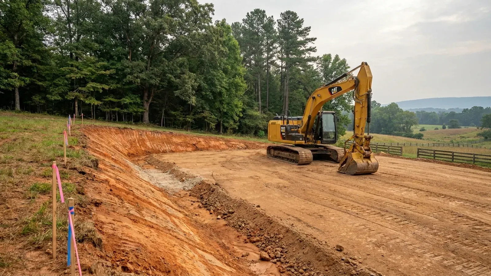
An excavator grading a compacted building pad on a cleared lot, with survey stakes, a drainage swale and a silt fence along the downhill edge.
Below the slab

The expensive surprises are in the ground, not the building

What moves a North Carolina budget is usually below grade, and the thing most often got wrong is which clay to worry about. Cecil — the red Piedmont clay everyone pictures, and the state soil — is kaolinitic and low shrink-swell; it does not heave. The soil that does is Iredell, formed over diabase and gabbro, which the USDA describes as vertic, very high shrink-swell, with a perched water table a foot or two down from December through April. The tell is colour: Cecil is red and Iredell is dark grey-brown, and they sit within a few miles of each other across the central Piedmont. West of that the question stops being clay and becomes slope, rock and colluvium; east of the fall line it becomes water, and in the Tidewater it becomes organic soil that subsides irreversibly once it is drained. Then the same ground decides the septic system, and North Carolina rewrote those rules recently enough that most of what is published about them is out of date. 15A NCAC 18E replaced the old subchapter on 1 January 2024 and was amended again on 1 June 2026: the site is classified on soil morphology — the word "percolation" does not appear anywhere in it — and there is no "provisionally suitable" any more, only suitable or unsuitable, on a single failed parameter. There is no statewide minimum lot size either; the area you need is derived from the soil result and then doubled, because a site that cannot fit both the initial field and its repair area is unsuitable. And the order matters more than people expect: the county health department's Improvement Permit and Construction Authorization come first, and the building permit is available on the strength of the Construction Authorization, not before it. One more thing that catches people: disturb more than an acre and you need an approved erosion and sedimentation control plan in hand before work starts, with penalties up to $5,000 a day, and a pad plus a drive plus a drainfield plus a laydown area crosses an acre faster than it sounds. So the site work, the foundation and the drainfield get resolved together rather than one at a time. We price the dirt before we price the building.

What a build looks like

Three stages every Durham project passes through, from a raw parcel to a finished home. Site work first, because that is where the budget is decided.
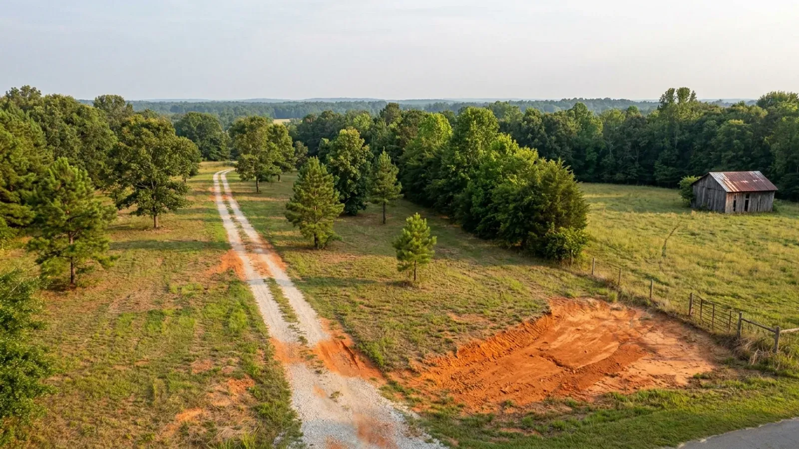
Aerial view of an undeveloped rural lot with cleared grass, a mixed oak, hickory and pine treeline, exposed red clay in one corner and a pale gravel access track.
Stage one

The parcel

Zoning, setbacks, flood zone and utility access get checked before anything is drawn.

An excavator grading a compacted building pad on a cleared lot, with survey stakes, a drainage swale and a silt fence along the downhill edge.
Stage two

Pad and permit

Clearing, grading and a compacted pad, while the septic authorization and the building submittal work through whichever offices cover your parcel.
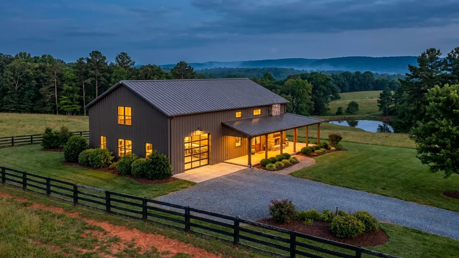
A finished barndominium at dusk with warm interior lighting glowing through its large windows.
Stage three

Frame to finish

Shell erected and dried in, then systems, insulation and interior finish through to CO.

Those are the rules where you are building in Durham. Tell us what you want to build and we will draw it to them.

Where we build around Durham

Durham County and the rural land around it. The buildable acreage for a project this size usually sits outside the town limits — which does not automatically put it under the county, because a town's zoning and building-code enforcement reach one to three miles past its limits into its extraterritorial jurisdiction. Inside the limits, in the ETJ, or in neither are three different answers to who issues your permit.

The Durham service area, including the rural acreage outside the built-up edge, which is where the parcels big enough for a build like this usually sit. The map marks the territory we build in. It is not a branch location, and there is no office at this pin.

Nearby areas we build in

Others we cover nearby. Every North Carolina municipality sits inside a county — there are no independent cities here — but that does not settle who regulates a given parcel. A town's zoning, subdivision rules and building-code enforcement extend one to three miles beyond its limits, by population, into what the statute calls its extraterritorial jurisdiction; town taxes and town elections do not follow. So the office that issues the permit, what it charges and how the land is zoned can all differ from one card to the next, and the mailing address will not tell you which case you are in.

Building in Durham: common questions

7 questions we get asked most often about building in Durham. If yours is not on the list, ask it directly.

Who issues the building permit — the City of Durham or Durham County?
Both, from the same counter. The City-County Building & Safety Department states that it provides permit, plan review and inspection services for the City and County of Durham, through administration and enforcement of the North Carolina State Building Code and the zoning ordinances for both. Sec. 2.8 of the Durham City-County Unified Development Ordinance makes the Inspections Director responsible for enforcing the provisions on new construction and the issuance of building permits and Certificates of Compliance, and for final action on local interpretation of matters related to the North Carolina Building Code. That is an unusual arrangement in this state. In Wake County next door, Wake County Permits and Inspections serves the unincorporated area plus Knightdale, Rolesville, Wendell and Zebulon by contract, and eight other municipalities inspect inside their own limits, so a Wake buyer genuinely has to establish which jurisdiction the parcel is in before anything else. In Durham the city line still decides your tax bill, your services and which governing body hears a rezoning — Sec. 2.1.1 gives that to the Board of Commissioners outside any city limits and to the City Council inside them — but it does not decide who inspects the work.
Is the ground in Durham really different from the rest of the Triangle?
Yes, and the state's own geologists say so. Durham sits over the Durham sub-basin of the Deep River Triassic basin, and the NC Geological Survey's Guide for Homeowners in the Triassic Basins of North Carolina names Durham among the eleven counties the Deep River basin covers. Its description: the rocks are mainly sandstone and siltstone that are very clay rich and poorly sorted, so there is little pore space to hold water and water cannot migrate easily, and the soil formed from them does not readily transmit or soak up water. Two consequences it states directly are the ones that decide a rural project. Water well yields are typically very low and many dry holes have been drilled. And the soil does not perform adequately during percolation tests for septic drain fields. The guide's own advice is to establish acceptable water and septic performance before buying in a Triassic basin. That is not a reason to avoid Durham; it is a reason to sequence a Durham purchase properly, with the soil evaluation and a view on well yield done before the land goes under contract rather than after.
Do I need to worry about expansive clay in Durham?
More than you would elsewhere in the Piedmont, and the usual rule of thumb points the wrong way here. Cecil, the state soil and the red clay everyone pictures, is kaolinitic with low shrink-swell — it does not heave, and its real problems are drainage and being unworkable when wet. The soil that gives trouble in North Carolina is the one nobody warns about, and over the Triassic basin it is red too. USDA's Official Series Description for the White Store series, formed in residuum weathered from Triassic sandstone, mudstone, siltstone or shale, gives shrink-swell potential very high, taxonomic class Oxyaquic Vertic Hapludalfs, common slickensides through the clay from about 5 to 42 inches, saturated hydraulic conductivity low, and a seasonal high water table 12 to 24 inches down — with colours running yellowish red at the surface to red through the clay horizon. Its listed competing series is Iredell, the mafic soil formed over diabase, diorite and gabbro, which the basin's diabase dikes and sills also produce. The practical answer is that Section R401.4 lets the building official require a soil test where the load-bearing values are questionable, and on this ground a geotechnical investigation before the foundation is designed is money well spent rather than an upsell. A professional engineer licensed in North Carolina is the person who turns that report into a footing design.
What wind speed and seismic category do Durham plans have to be drawn to?
Table R301.2(4) of the 2018 NC Residential Code does not name Durham County, so the county falls to that table's unlisted default: an ultimate design wind speed of 115 mph, the floor of the code, shared by 51 of the 100 counties. Durham is also absent from Table R301.2(7), the list of thirteen Seismic Design Category C counties, and that table's note places every county not listed in Category A or B. Name the edition on the drawings: the 2018 code is the one in force, the 2024 edition was adopted but has no effective date, and the two disagree on six counties' wind speeds and four counties' seismic category. Three things that are the same everywhere in the state and are worth knowing: a flat 20 psf roof live load; no ground snow load column at all, because Section R301.2.3 is deleted; and a 12-inch frost line depth, with Section R403.3 frost-protected shallow foundations deleted, so the insulate-instead-of-dig shortcut does not exist here. One more that surprises people building in metal: North Carolina deleted cold-formed steel framing from the accepted methods of termite protection, and deleted physical barriers too. In the model code, framing in steel satisfies that requirement. Here it does not, and protection is required in all of North Carolina.
Which watershed overlay is my Durham parcel in, and does it matter?
It matters, and Sec. 4.11 of the UDO makes it answerable rather than vague. Durham draws its overlays off named reservoirs at named elevations. Lake Michie / Little River District A runs one mile from the 341-foot MSL normal pool of Lake Michie and the 355-foot MSL normal pool of the Little River Reservoir, or to the ridge lines of their drainage basins, whichever is less, with District B covering the rest of those basins. Falls / Jordan District A runs one mile from the 251.5-foot MSL normal pool of Falls Reservoir and the 216-foot MSL normal pool of Jordan Reservoir, with District B running from the edge of A out to five miles. Eno River District A is one mile from and draining to the Eno River water intake, A2 is half a mile from the Teer Quarry intake, and B extends to ten miles. Which parcels fall inside is fixed on a Watershed Overlays Parcels Map adopted as part of the ordinance, and where a general boundary crosses a parcel, parcels of half an acre or less are excluded while larger parcels are included — so a rural tract goes in whole. The divide also changes the land-disturbance limits attached to the site-plan-review exemptions in Sec. 3.7.2: under one acre in the Jordan Reservoir watershed, under 12,000 square feet in the Falls Reservoir watershed, under half an acre in the Neuse River Basin. Before you commit to a site plan, find the parcel on that map.
What does the building permit itself cost, and what gets billed separately?
There is no North Carolina permit fee, and that is the first thing to understand — the rate differs by county and so does the basis it is charged on, which for a barndominium matters more than the rate. Wake County charges $75 plus $0.25 per square foot of gross floor area, defined with no deduction for garage, corridors, stairs, closets or other features, so an attached shop bay sits inside the fee base whether it is heated or not. Union County charges $0.84 per square foot on area under roof, heated or unheated. Guilford County charges $150 plus $0.35 per heated square foot on a detached single-family structure, and Buncombe County also charges on heated area only, so in those two the unheated bay rides free. A 3,000 square foot barndominium that is half unheated workshop is billed on 3,000 square feet in one county and 1,500 in another. Ask your county for its published schedule and ask specifically what area it measures, because several schedules do not define the term at all. Two things to budget alongside it: septic and well are usually a separate department on a separate schedule, so a buyer reading only the building schedule under-budgets, and a $10 Homeowners Recovery Fund fee rides on a residential permit as a statewide obligation whether or not a given schedule prints it. Every county figure here was read from that county's own published schedule on 5 September 2026, and Wake's and Guilford's pages state no effective date, so confirm before you budget.
Is there enough land in Durham County to build on, or should I look elsewhere?
Look honestly, and often the answer is a neighbouring county. The 2022 Census of Agriculture puts Durham County 92nd of North Carolina's 100 counties for land in farms — 212 farms across 16,166 acres, 8.8 percent of the county, at a median farm size of 27 acres against a statewide median of 48. Durham County holds 347,240 people on 288 square miles, which is 1,208 per square mile. What remains is largely in the Rural Tier, which the UDO itself describes as lying largely within watershed critical areas and as a place where development should feature large lots. So the land that exists is real, it is buyable, and it comes with the overlay rules attached. Beyond the county line the numbers open up on the same federal dataset: Granville County's median farm is 85 acres, Person 61, Chatham 49, Orange 37. Each of those is a different county fee schedule and a different health department, and Orange in particular runs thirteen watershed protection overlay districts of its own with a five-acre minimum in the University Lake and Cane Creek watersheds — so the county page is the next thing to read once you have chosen a direction.

Building in Durham?

Start with the plan. Tell us what you want to build and we will draw it, then confirm which office issues the permit for your parcel, what it will let you put there, and what wind load it has to meet. That conversation costs nothing.