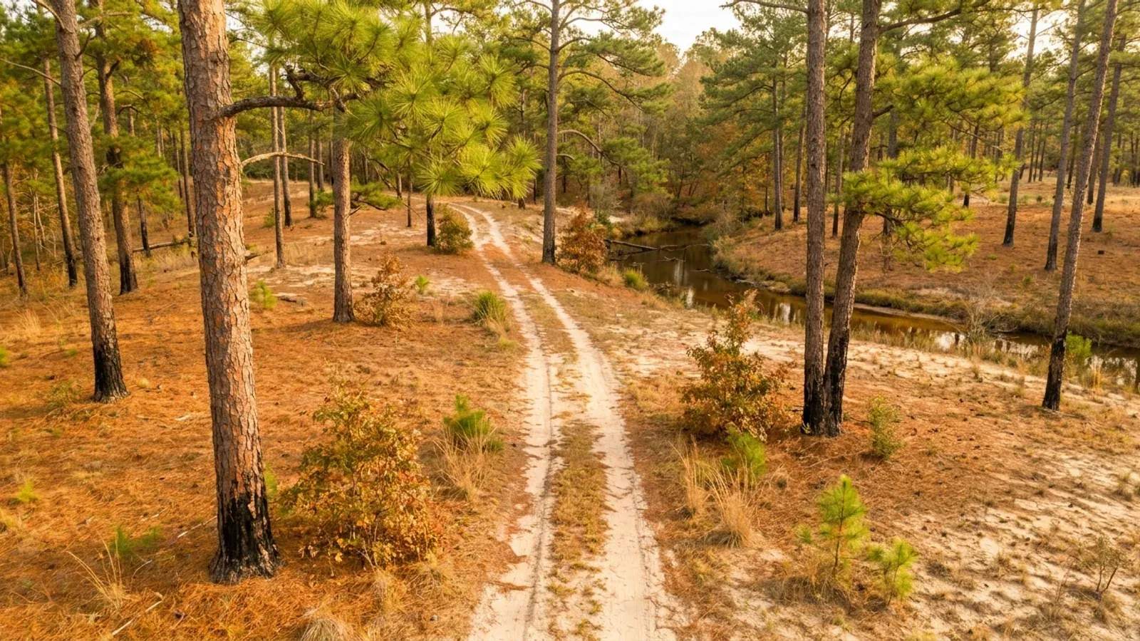
Open park-like longleaf pine woodland on low sand ridges, with pale yellow sand, a rust-orange pine straw carpet, wiregrass understorey and a bare sand two-track road.
Robeson County 2018 NC Residential Code, statewide

Barndominium Builders in Robeson County, NC

Robeson County covers 947 square miles, the largest land area of any county in North Carolina, and holds 119,941 people at 127 per square mile — Lumberton, Red Springs, St. Pauls, Pembroke, Maxton, Fairmont and Rowland spread across ground that is 43.4 percent farmland. On the 2022 Census of Agriculture it ranks second in the state for acres in farms: 732 farms across 263,080 acres, at a median farm size of 56 acres. So the honest first answer about Robeson is that the land really is here, and it is farmed rather than subdivided. The design numbers are the surprise. Table R301.2(4) of the 2018 NC Residential Code names Robeson County at 130 mph ultimate design wind speed, fifteen miles an hour above the 115 mph floor that Wake, Mecklenburg and Guilford take. And Table R301.2(7) of the same edition puts Robeson in Seismic Design Category C alongside Brunswick, Columbus and Scotland — the only four counties outside the mountains that list has ever carried, on the flattest ground in the state. The 2024 edition, adopted but with no effective date at all, removes all four. What the code does not decide, the county does. Robeson County Community Development runs planning, zoning, code enforcement and inspections from one office at 701 N. Elm Street in Lumberton, and its zoning ordinance — adopted 16 November 2020 — carries an Agricultural District with a 160-acre minimum parcel and a Residential-Agricultural district that caps the principal building and every accessory building together at twenty percent of the lot. On a barndominium with a shop bay, that coverage cap is the number to check before the wind speed.

Robeson County at a glance

County
Robeson County
City rules outside city limits
Section 3.1 of the Robeson County zoning ordinance covers all unincorporated territory except land inside a municipality's extraterritorial jurisdiction — so a rural parcel outside Lumberton can be under city rules while paying no city tax.
Population
119,941
ZIP codes
28358, 28359, 28360, 28372, 28377, 28384, 28340, 28364, 28371, 28383, 28369, 28357, 28362, 28375, 28386
Site visits
Same week across Robeson County

Building conditions in Robeson County

The building code does not change at a county line here. Under § 143-138(e) the North Carolina State Building Code applies throughout the state, and a city or county may adopt only a fire prevention code and floodplain regulations of its own — there is no general local amendment power, so there are no county amendments to look up. The edition in force is still the 2018 NC Residential Code, effective 1 January 2019; the 2024 edition has been delayed three times and carries no effective date at all. What genuinely differs is who issues the permit and inspects the work, what that office charges, how the parcel is zoned, what the local floodplain ordinance requires of the foundation — and two design numbers the code publishes county by county, the ultimate design wind speed and the seismic design category. The rest of Table R301.2 is set once for everyone: a flat 20 psf roof live load, a 12-inch frost line, Moderate weathering, and termite protection required everywhere in the state with no exemption. There is no ground snow load column in the residential code at all.

Build conditions for Robeson County , North Carolina : ultimate design wind speed 130 mph. BUILD CONDITIONS ROBESON COUNTY, NCRobeson County2018 NC RESIDENTIAL CODEULTIMATE DESIGN WIND SPEED130 mphTable R301.2(4) of the 2018 NC Residential Code names Robeson County at 130 mph, with no roadsplit and no elevation test. The 2024 edition carries the same figure. It is 15 mph above the…ZONING · R-A AND A-D20,000 sq ft (R-A) · 160 acres (A-D)Section 3.6 sets the Residential-Agricultural district at 20,000square feet per dwelling unit and 110 feet of lot width, with the…WHO ISSUES THE PERMITRobeson County Community DevelopmentPlanning, zoning, code enforcement and inspections in onedepartment. The zoning permit comes first, then the health…
Build conditions for Robeson County, drawn from the sourced facts on this page. Every figure above is cited in the quick-facts panel below, with its source and vintage.
Category C on the flattest ground in the state
Table R301.2(7) of the 2018 NC Residential Code — the edition in force — lists thirteen counties in Seismic Design Category C, and four of them are not in the mountains: Brunswick, Columbus, Robeson and Scotland, a contiguous block along the South Carolina line. Every other Category C county in that table is west of Asheville. So a house in the Coastal Plain of Robeson County is designed to a higher seismic category than a house in Boone or Blowing Rock, both of which sit in Category A or B under the table's own note. The 2024 edition, adopted but carrying no effective date, drops all four and adds Henderson and Transylvania instead. The code states the change and gives no reason for it. Cite the edition your plans are drawn to, because the two disagree here.

2018 NC Residential Code Table R301.2(7) and the 2024 edition's replacement table, NC Office of the State Fire Marshal, read 5 September 2026.

130 mph, and it is not a coastal number
Table R301.2(4) of the 2018 NC Residential Code names Robeson County at 130 mph ultimate design wind speed, and the 2024 edition carries the same figure — no road split, no elevation test, one number for the whole county. That is 15 mph above the 115 mph unlisted default that 51 of North Carolina's 100 counties take, including Wake, Mecklenburg, Guilford and Forsyth. It matters for a barndominium because Section R301.2.1.1 makes 130 mph a threshold: at or above it the prescriptive path narrows to a listed set of methods, and North Carolina deleted AISI S230 — the standard prescriptive route for a cold-formed steel framed house — from that list. A steel-framed building here goes to ASCE 7, the International Building Code or the code's own Chapters 45 and 46, which means an engineer's design rather than a table. Robeson County is also nowhere near the wind-borne debris region, which North Carolina defines geographically as the land east of the Intracoastal Waterway and the barrier islands, not by a wind speed.

2018 NC Residential Code Tables R301.2(4) and R301.2(5), Section R301.2.1.1 and the Chapter 2 definition of the windborne debris region, NC Office of the State Fire Marshal, read 5 September 2026.

160 acres to sit in the Agricultural District
Robeson County's zoning ordinance, adopted by the Board of Commissioners on 16 November 2020 in replacement of the 1 July 1988 ordinance, divides all unincorporated territory outside municipal extraterritorial jurisdiction into seven districts. Section 3.8 requires every parcel in the Agricultural District (A-D) to be a minimum of 160 acres and not adjacent to a major interstate, with a maximum of three dwellings per parcel. The district most rural buyers actually land in is Residential-Agricultural (R-A), and Section 3.6 is where a barndominium meets its constraint: 20,000 square feet minimum lot area per dwelling unit, 110 feet minimum lot width, a front yard of 70 feet measured from the centre of a state-maintained highway or 40 feet from the front property line on a soil road, side yards of 15 feet, a 35-foot height limit — and a cap of twenty percent of total lot area on the principal building and all accessory buildings combined. A house with an attached shop and a detached barn is measured against that twenty percent together, not separately.

Robeson County Zoning Ordinance §§ 3.1, 3.2, 3.6, 3.8 and 1.11, robesoncountync.gov, read 6 September 2026.

No square-foot rate for a house on the county's own schedule
Robeson County's published Community Development fee schedule for FY 2025-2026 does not price a new dwelling by square foot, by heated area or by construction value. What it prices are the pieces around it: a $150 zoning permit, a flat $80 plumbing permit, a flat $80 electrical permit, a flat $80 mechanical permit for a central heat and air unit, a $5 technology fee, $100 per re-inspection, $80 for a pre-inspection in county, $300 for a special use permit, $1,000 for a rezoning, $300 for a variance, and $300 for a plat map review of a lot between one and 4.9 acres or $600 at five acres and larger. Building plan review is listed for commercial buildings only, at $300 up to 5,000 square feet and $600 above it. That is a genuinely different shape from the counties that do publish a rate — Bladen next door charges $0.15 per square foot up to 10,000 square feet with a $75 residential minimum. There is no North Carolina permit fee; there are a hundred county answers, and Robeson's schedule is an instruction to ask rather than a number to budget from.

Robeson County Community Development Department Fee Schedule FY 2025-2026, robesoncountync.gov, read 6 September 2026; Bladen County Building Inspections fee schedule effective 1 July 2025, bladennc.govoffice3.com, read 6 September 2026.

Second in the state for farmland, first for land area
The 2022 Census of Agriculture ranks Robeson County second of North Carolina's 100 counties for land in farms — 732 farms across 263,080 acres, 43.4 percent of the county, at an average of 359 acres and a median of 56 against a statewide median of 48. Only Sampson has more acres in farms. On land area Robeson is first outright at 947 square miles, one square mile ahead of Sampson, and it holds 119,941 people at 127 per square mile against Wake's 1,506. Population growth is 2.9 percent since 2020 with net migration of +2,379, which is close to flat — this is a land-supply county, not a boom county, and copy that describes it as a growth market is describing somewhere else. The practical consequence for a buyer is the one the median tells you: a 56-acre median farm is well over the ten acres at which G.S. 160D-903(b) bars a county from prohibiting a single-family dwelling in a majority-agricultural district, or from requiring road frontage or public water and sewer.

USDA NASS 2022 Census of Agriculture county profiles; U.S. Census Bureau Vintage 2025 county population estimates and 2025 Gazetteer county land areas; G.S. 160D-903(b).

The Lumber River crest, and the 43 percent outside the map
NOAA's National Weather Service office in Wilmington records that during Hurricane Florence the Lumber River is estimated to have crested near 25.4 feet, over one foot higher than the Hurricane Matthew crest in 2016; that the Mayfair neighbourhood just north of Lumberton was flooded up to eight feet deep; that flooding closed a nearly 60-mile stretch of Interstate 95 between Lumberton and Benson until 23 September 2018; and that Robeson County Emergency Management reported over 500 structures damaged. Rainfall gauges at Lumberton read 17.49 inches, and 2.3 miles north-east of Lumberton 22.76 inches. What that means for someone buying land here now is a mapping question, and North Carolina's environmental agency has published the answer. In a press release dated 1 April 2026, NC DEQ released new advisory — explicitly nonregulatory — floodplain maps for five eastern basins including the Lumber, and DEQ Secretary Reid Wilson stated that research from UNC Chapel Hill found more than 90,000 buildings in Eastern North Carolina flooded at least once from 1996 to 2020 and that 43 percent of those buildings were outside the mapped FEMA floodplain. The regulatory map is not the whole risk picture, and the state says so itself.

NOAA/NWS Wilmington, Hurricane Florence event summary, Robeson County section and rainfall tables, weather.gov/ilm/HurricaneFlorence, read 6 September 2026; NC DEQ press release, "New advisory floodplain maps available for five Eastern North Carolina river basins", deq.nc.gov, 1 April 2026, read 6 September 2026.

Also worth knowing before you build in Robeson County

The zoning permit comes before the health department
Most North Carolina counties run the septic approval first and hang the building permit off it. Robeson inverts the front half. Section 2.6 of the county zoning ordinance provides that a zoning permit issued by the Community Development Administrator is a prerequisite to obtaining any necessary approval from the Robeson County Department of Health, and Section 1.6 makes it unlawful to commence excavation or construction of any building or accessory structure until the Code Enforcement Officer has issued that zoning permit. The county's FY 2025-2026 fee schedule prices the zoning permit at $150 and a zoning request or verification letter at $100, and states that where construction begins without the appropriate permits in place the permit cost is doubled. The building permit then issues from the Inspections Department after the zoning permit, and the Certificate of Occupancy after final inspections and site plan compliance approval.

Robeson County Zoning Ordinance §§ 1.6 and 2.6, and Robeson County Community Development Department Fee Schedule FY 2025-2026, robesoncountync.gov, read 6 September 2026.

The Lumbee Tribe's federal recognition, December 2025
The Lumbee Tribe of North Carolina is centred on Robeson County and the town of Pembroke. The North Carolina Governor's office records that on 18 December 2025 the Lumbee Fairness Act was signed into law, federally recognising the Tribe, and that it became the 575th federally recognised tribe in the United States. The state's own account puts the Tribe at more than 68,000 members — the largest tribe in North Carolina and the largest east of the Mississippi River — notes that North Carolina has recognised the Lumbee since 1885, and that the Tribe received a form of federal recognition in 1956 but was denied the full benefits it brings. What the state describes as following from the Act is eligibility to apply directly for federal grants and to receive services from the Bureau of Indian Affairs, the Bureau of Indian Education and the Indian Health Service. For a buyer, the land-use question on an ordinary Robeson parcel is still answered where it always was: Section 3.1 of the county's zoning ordinance reaches all unincorporated territory outside a municipality's extraterritorial jurisdiction, and Community Development issues the zoning permit and the building permit.

Office of the Governor of North Carolina, "Governor Stein Celebrates Federal Recognition of the Lumbee Tribe", governor.nc.gov, 24 February 2026, read 6 September 2026; NC Department of Administration, Commission of Indian Affairs, doa.nc.gov, read 6 September 2026; Robeson County Zoning Ordinance § 3.1.

The county's farm exemption and the code's are two different instruments
Section 3.4(D) of the Robeson County Zoning Ordinance provides that the ordinance shall in no way regulate, restrict, prohibit or otherwise deter any bona fide farm within its jurisdiction, except that any use of the property for non-farm purposes is subject to the regulations; that it imposes no control over croplands, timberlands, pasturelands, orchards or idle farmland; and that it does not control any farmhouse, barn, poultry house or other farm building, including tenant or other houses for persons working on the farm, so long as those houses are in the same ownership as the farm and located on it. Section 1.6 carries the same carve-out for the zoning permit itself. That is a zoning exemption and it is real. It is not a building-code exemption, and the two are separate instruments: G.S. 143-138(b4)(1) defines a farm building for building-code purposes as a nonresidential building or structure, so a dwelling has never been inside that exemption, and G.S. 160D-903(a) grants the farm-residence zoning exemption only to a residence constructed to the applicable residential building code. You get the land-use right; code compliance is what it costs.

Robeson County Zoning Ordinance §§ 1.6 and 3.4(D), robesoncountync.gov, read 6 September 2026; N.C.G.S. §§ 143-138(b4)(1) and 160D-903.

One acre of disturbance, and a watershed ordinance of the county's own
NC DEQ requires an approved erosion and sediment control plan wherever more than one acre of land on a tract will be disturbed, with civil penalties published at up to $5,000 per day per violation, and a delegated local programme may be stricter than the state floor. On a rural site the pad, the driveway, the septic field and the laydown area together cross an acre without anyone intending it. Robeson County adds a second layer that is genuinely local: it publishes its own Water Supply Watershed Management and Protection Ordinance alongside the zoning ordinance in the Community Development document library, which is separate from the zoning map and applies by drainage rather than by district. Building-code requirements themselves do not vary by county — G.S. 143-138(e) provides that the State Building Code applies throughout the State, and no county has general power to alter it — but zoning, watershed protection, the fee schedule, the health department and floodplain regulation all do, and those are the five things worth reading before you close.

NC DEQ, Erosion and Sediment Control Laws and Rules, deq.nc.gov, read 5 September 2026 (G.S. Chapter 113A, Article 4; 15A NCAC 04); Robeson County Water Supply Watershed Management and Protection Ordinance, published in the Robeson County Community Development document library, robesoncountync.gov, read 6 September 2026; N.C.G.S. § 143-138(e).
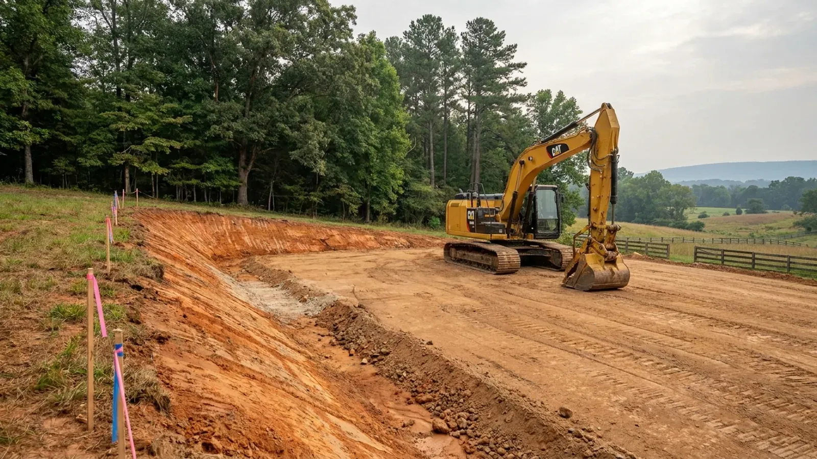
An excavator grading a compacted building pad on a cleared lot, with survey stakes, a drainage swale and a silt fence along the downhill edge.
Below the slab

The expensive surprises are in the ground, not the building

What moves a North Carolina budget is usually below grade, and the thing most often got wrong is which clay to worry about. Cecil — the red Piedmont clay everyone pictures, and the state soil — is kaolinitic and low shrink-swell; it does not heave. The soil that does is Iredell, formed over diabase and gabbro, which the USDA describes as vertic, very high shrink-swell, with a perched water table a foot or two down from December through April. The tell is colour: Cecil is red and Iredell is dark grey-brown, and they sit within a few miles of each other across the central Piedmont. West of that the question stops being clay and becomes slope, rock and colluvium; east of the fall line it becomes water, and in the Tidewater it becomes organic soil that subsides irreversibly once it is drained. Then the same ground decides the septic system, and North Carolina rewrote those rules recently enough that most of what is published about them is out of date. 15A NCAC 18E replaced the old subchapter on 1 January 2024 and was amended again on 1 June 2026: the site is classified on soil morphology — the word "percolation" does not appear anywhere in it — and there is no "provisionally suitable" any more, only suitable or unsuitable, on a single failed parameter. There is no statewide minimum lot size either; the area you need is derived from the soil result and then doubled, because a site that cannot fit both the initial field and its repair area is unsuitable. And the order matters more than people expect: the county health department's Improvement Permit and Construction Authorization come first, and the building permit is available on the strength of the Construction Authorization, not before it. One more thing that catches people: disturb more than an acre and you need an approved erosion and sedimentation control plan in hand before work starts, with penalties up to $5,000 a day, and a pad plus a drive plus a drainfield plus a laydown area crosses an acre faster than it sounds. So the site work, the foundation and the drainfield get resolved together rather than one at a time. We price the dirt before we price the building.

What a build looks like

Three stages every Robeson County project passes through, from a raw parcel to a finished home. Site work first, because that is where the budget is decided.
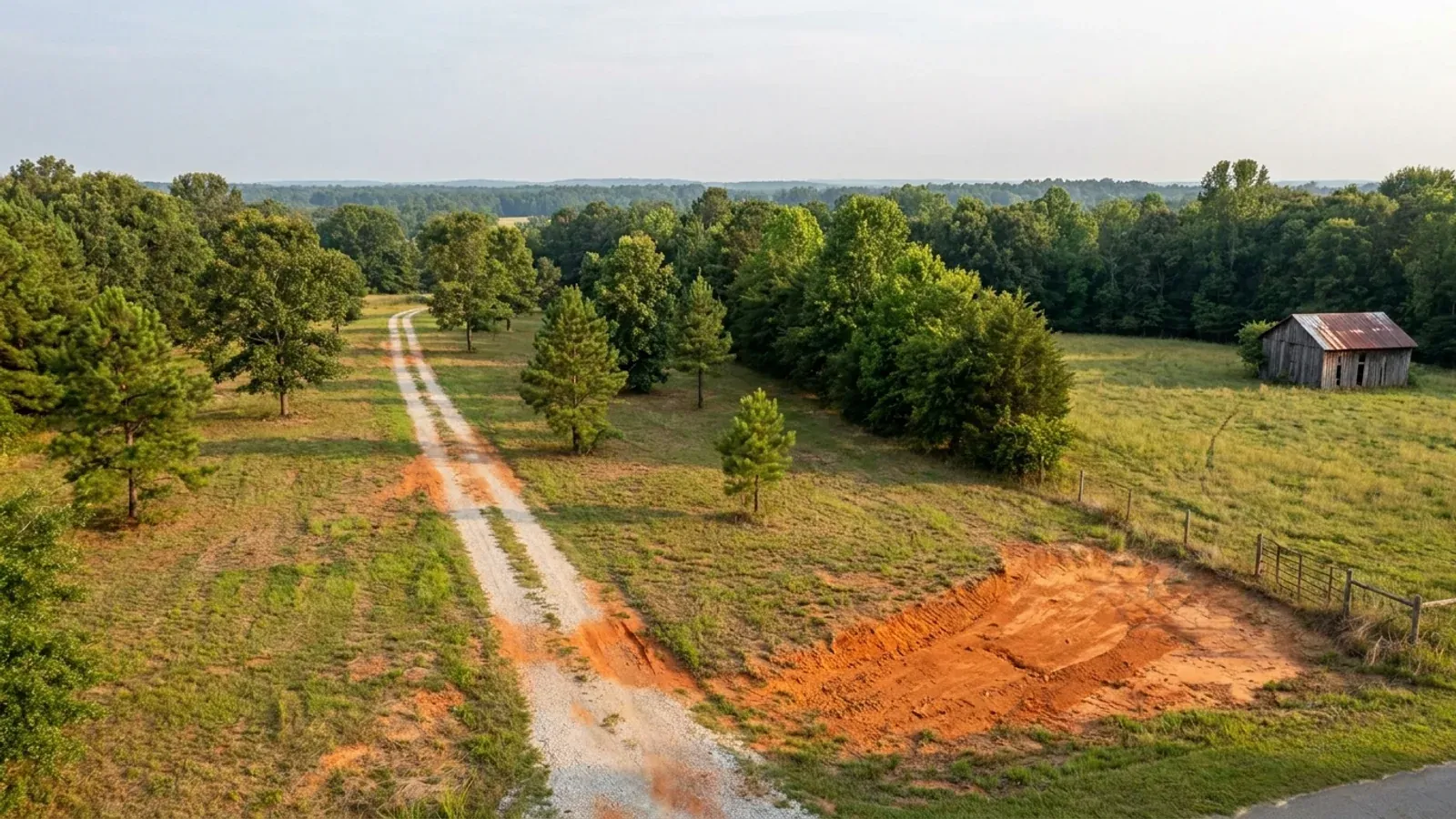
Aerial view of an undeveloped rural lot with cleared grass, a mixed oak, hickory and pine treeline, exposed red clay in one corner and a pale gravel access track.
Stage one

The parcel

Zoning, setbacks, flood zone and utility access get checked before anything is drawn.

An excavator grading a compacted building pad on a cleared lot, with survey stakes, a drainage swale and a silt fence along the downhill edge.
Stage two

Pad and permit

Clearing, grading and a compacted pad, while the septic authorization and the building submittal work through whichever offices cover your parcel.
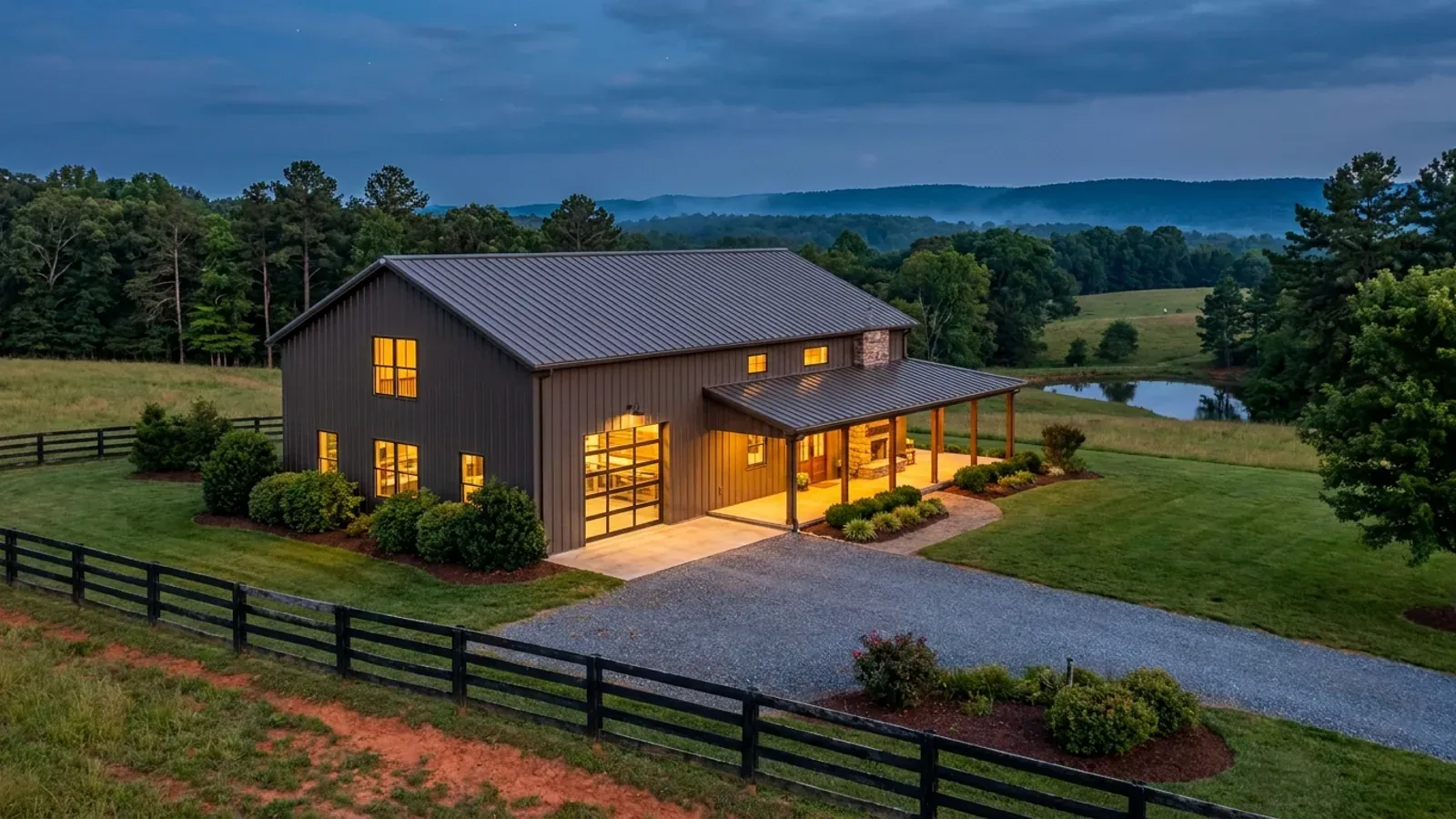
A finished barndominium at dusk with warm interior lighting glowing through its large windows.
Stage three

Frame to finish

Shell erected and dried in, then systems, insulation and interior finish through to CO.

Those are the rules where you are building in Robeson County. Tell us what you want to build and we will draw it to them.

Where we build around Robeson County

Robeson County and the rural land around it. The buildable acreage for a project this size usually sits outside the town limits — which does not automatically put it under the county, because a town's zoning and building-code enforcement reach one to three miles past its limits into its extraterritorial jurisdiction. Inside the limits, in the ETJ, or in neither are three different answers to who issues your permit.

The Robeson County service area, including the rural acreage outside the built-up edge, which is where the parcels big enough for a build like this usually sit. The map marks the territory we build in. It is not a branch location, and there is no office at this pin.

Nearby areas we build in

Others we cover nearby. Every North Carolina municipality sits inside a county — there are no independent cities here — but that does not settle who regulates a given parcel. A town's zoning, subdivision rules and building-code enforcement extend one to three miles beyond its limits, by population, into what the statute calls its extraterritorial jurisdiction; town taxes and town elections do not follow. So the office that issues the permit, what it charges and how the land is zoned can all differ from one card to the next, and the mailing address will not tell you which case you are in.

Building in Robeson County: common questions

7 questions we get asked most often about building in Robeson County. If yours is not on the list, ask it directly.

What wind speed and seismic category do Robeson County plans have to be drawn to?
Table R301.2(4) of the 2018 NC Residential Code names Robeson County at 130 mph ultimate design wind speed — one figure for the whole county, with no road split and no elevation test — and the 2024 edition carries the same number. That is 15 mph above the 115 mph unlisted default which 51 of North Carolina's 100 counties take. The seismic answer is the one nobody expects. Table R301.2(7) of the 2018 edition lists thirteen Seismic Design Category C counties, and Robeson is one of only four outside the mountains, with Brunswick, Columbus and Scotland. Every other county on that list is in the far west. The 2024 edition removes all four and adds Henderson and Transylvania; it gives no reason for the change, and it has no effective date at all, so the 2018 figures are the ones in force. Two things that are the same everywhere in North Carolina and are worth knowing: the code sets a flat 20 psf roof live load, and it has no ground snow load column at all because Section R301.2.3 is deleted. Termite protection is required in every part of the state under Section R318, and building in steel does not satisfy it here — cold-formed steel framing was struck from the accepted methods of termite protection.
Does the 130 mph number change how a metal or post-frame barndominium is engineered in Robeson County?
Yes, and this is the practical consequence of the county's row in the table. Section R301.2.1.1 of the code treats 130 mph as a threshold: at or above it the prescriptive path narrows to a listed set of design methods. North Carolina deleted AISI S230, the Prescriptive Method for One- and Two-Family Dwellings, from that list — which is exactly the shortcut a cold-formed steel framed house would normally use. So a steel-framed building in Robeson County is designed under ASCE 7, the International Building Code, or the North Carolina code's own Chapters 45 and 46, rather than off a prescriptive table. That points at an engineer, and there is no exemption covering it: G.S. 83A-13(c)(1) exempts a family residence from the architect requirement, but G.S. 89C-25 carries no residential carve-out for engineering — the subdivisions that would have provided one were repealed in 2011 and 2014. Section R301.1.2 separately requires other framing systems to demonstrate equivalent detailing. A Robeson County barndominium is normally an engineered building, and that engineering is a real line in the budget rather than a formality. One thing it is not: Robeson County is nowhere near the wind-borne debris region, which North Carolina defines as a geographic line east of the Intracoastal Waterway rather than by any wind speed, so there is no opening-protection requirement here.
Who issues the permit for land in Robeson County, and in what order?
Robeson County Community Development, at 701 N. Elm Street in Lumberton, combines planning, zoning, code enforcement and inspections in one department — but the order inside it is unusual and it sets your start date. Section 1.6 of the county zoning ordinance makes it unlawful to commence excavation or construction of any building or accessory structure until the Code Enforcement Officer has issued a zoning permit. Section 2.6 then provides that the zoning permit is a prerequisite to obtaining any necessary approval from the Robeson County Department of Health. The county's own fee schedule states that the Inspections Department issues the building permit following issuance of the zoning permit, and that the Certificate of Occupancy issues on final building sections and site plan compliance approval. So the sequence is zoning permit, then health department, then building permit, then CO. The county prices the zoning permit at $150 on its FY 2025-2026 schedule and states that where construction begins without the appropriate permits in place, the permit cost is doubled. The one thing to check before any of it: Section 3.1 applies the county ordinance to all unincorporated territory excluding the extraterritorial jurisdiction of municipalities, so a parcel outside the Lumberton city line can still sit under Lumberton's Chapter 35 land use ordinance.
Is there really land to build a barndominium on in Robeson County?
More than almost anywhere else in the state, and the numbers are federal ones. The 2022 Census of Agriculture puts Robeson second of 100 counties for land in farms — 732 farms across 263,080 acres, 43.4 percent of the county, average 359 acres, median 56 against a statewide median of 48. Only Sampson has more acres in farms, by 29,000. On land area Robeson is the largest county in North Carolina at 947 square miles, holding 119,941 people at 127 per square mile. Population growth since 2020 is 2.9 percent with net migration of +2,379 — essentially flat, which is why the land is still farmed rather than platted. The zoning is where it gets specific. Section 3.8 requires every parcel in the Agricultural District to be at least 160 acres and not adjacent to a major interstate, capped at three dwellings per parcel, so most buyers are in Residential-Agricultural instead: 20,000 square feet minimum per dwelling unit, 110 feet of lot width, and a twenty percent cap on lot coverage by the principal building and all accessory buildings combined. That last figure is the one a barndominium buyer should run first. And on a lot over ten acres in a majority-agricultural district, G.S. 160D-903(b) bars a county from prohibiting a single-family dwelling, from requiring public-road or approved-private-road frontage, or from requiring public water or sewer — provided the dwelling is constructed in accordance with the State Building Code.
Robeson County flooded badly in Matthew and Florence. What should I check before I buy?
Check the advisory maps as well as the regulatory ones, and get the county's flood determination in writing before you close. NOAA's National Weather Service office in Wilmington records that in Hurricane Florence the Lumber River is estimated to have crested near 25.4 feet, over a foot above the Hurricane Matthew crest of 2016; that the Mayfair neighbourhood north of Lumberton took up to eight feet of water; that Pembroke saw significant flooding; and that Robeson County Emergency Management reported over 500 structures damaged. Gauges recorded 17.49 inches of rain at Lumberton and 22.76 inches 2.3 miles north-east of it. The mapping picture has since changed in a way that helps a buyer. NC DEQ's press release of 1 April 2026 announced new advisory floodplain maps for five eastern river basins including the Lumber, produced with NC Emergency Management's Floodplain Mapping Program. They are explicitly nonregulatory — they do not change what a permit requires — but they cover ground the FEMA maps do not, including areas that flood while sitting miles from a stream. In the same release DEQ Secretary Reid Wilson stated that UNC Chapel Hill research found more than 90,000 buildings in Eastern North Carolina flooded at least once from 1996 to 2020, and 43 percent of them were outside the mapped FEMA floodplain. Robeson County Community Development manages the county's Flood Damage Prevention Ordinance and interprets the FEMA maps, and floodplain regulation is one of only two things a local government in North Carolina may adopt of its own under G.S. 143-138(e).
Which Robeson County building-code amendments do I need to check?
None, and saying so plainly is the opposite of the advice given nearly everywhere in this trade. G.S. 143-138(e) provides that the North Carolina State Building Code shall apply throughout the State from the time of its adoption. The only two things a city or county may adopt of its own are a fire prevention code — which needs Residential Code Council approval and may not reach one- and two-family dwellings beyond what the Residential Code prescriptively requires — and floodplain management regulations. There is no general power for a county to alter the building code, so no county in North Carolina can impose a stricter structural, foundation or energy requirement on a house than the state code sets. What genuinely varies from county to county, and what the rest of this page is about, is a different list: zoning under Chapter 160D, the fee schedule, the health department, extraterritorial jurisdiction, floodplain regulation, and the wind and seismic numbers published inside the one statewide code county by county. Robeson's answers to those are its own — a 160-acre Agricultural District minimum, a twenty percent lot coverage cap in Residential-Agricultural, a zoning permit that precedes the health department, a fee schedule that publishes no square-foot rate for a house, 130 mph, and Seismic Design Category C.
How does the septic evaluation work here, and can it stop the build?
It can stop it outright, and the rule that decides it changed recently. Since 1 January 2024 the site classification under 15A NCAC 18E is binary: rule .0509(a) provides that a site with all parameters determined suitable is classified suitable, and any parameter determined unsuitable results in an overall classification of unsuitable — and .0509(d) provides that an Improvement Permit shall not be issued for a site classified unsuitable. There is no longer a middle category; a great deal of North Carolina real-estate and septic material still says "provisionally suitable", and that term was repealed. The parameters that most often fail on Coastal Plain ground are soil wetness condition, which must sit at least 12 inches below the natural surface, or at least 18 inches where more than six inches of sandy Group I soils are present, and available space, because .0508(b) makes a site unsuitable without room for a repair area as well as the initial system. That last one is why there is no statewide minimum lot size for a septic house — the area is derived from the soil and then effectively doubled. North Carolina classifies on soil morphology rather than on a percolation rate: the word "percolation" does not appear anywhere in Subchapter 18E. Two escape routes exist, both real: .0509(b) allows reclassification through site modification, an interceptor drain, or advanced pretreatment, and 18E .0202(g) lets an applicant contract with a licensed soil scientist to do the soil and site evaluation and submit it to the health department as part of the application, which front-loads the fieldwork rather than waiting in the county queue.

Building in Robeson County?

Start with the plan. Tell us what you want to build and we will draw it, then confirm which office issues the permit for your parcel, what it will let you put there, and what wind load it has to meet. That conversation costs nothing.