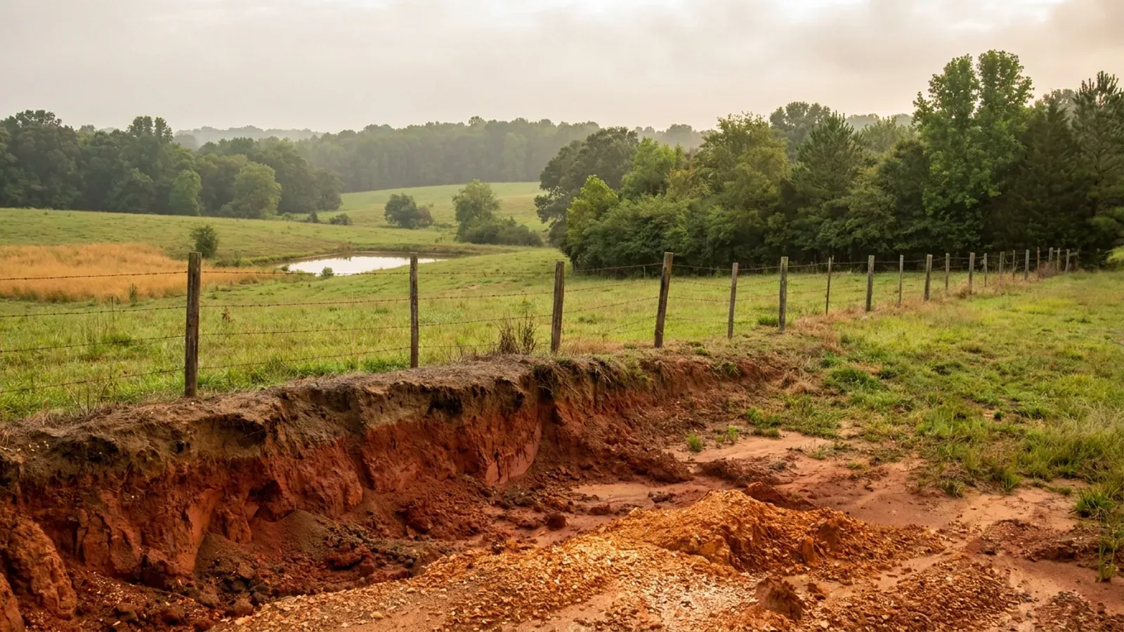
Rolling southern Piedmont farmland with vivid red clay exposed at a field edge, mixed oak, hickory and pine woodland and a small farm pond.
Lincoln County 2018 NC Residential Code, statewide

Barndominium Builders in Lincoln County, NC

Lincoln County’s seat is Lincolnton, which is a different name from the county and often confused with it in listings.

Lincoln County grew 13.7 percent between the 2020 census and July 2025, from 86,782 to an estimated 98,654 — the fastest growth rate of any county in Charlotte's ring, on 12,075 people of net migration into the smallest land area in that ring, 296 square miles. The county seat is Lincolnton, a name a listing will confuse with the county's own. But the more useful thing to understand here is that Lincoln is two counties in practice, and which half a parcel is in changes the answer to almost every question. The eastern half runs down to Lake Norman and is where the growth is — and it has no town government at all: Westport, Lowesville and Denver are census designated places, so the county is the permitting authority for all of them. The western half is the agricultural half, holding most of the county's 552 farms and 49,038 farmland acres, at a median farm size of 36 acres and 25.9 percent of the county's land in farms. The Catawba riparian buffer rule splits the county the same way: it reaches the Lake Norman shoreline in the east and does not reach the creeks in the west. So the honest answer to "can I buy land in Lincoln County" starts with a map, not a price.

Lincoln County at a glance

County
Lincoln County
City rules outside city limits
The fast-growing lake side has no municipal government — Westport, Lowesville and Denver are unincorporated — so the county permits there, while a parcel near Lincolnton can sit inside the city’s ETJ.
Population
98,654
ZIP codes
28092, 28093, 28037, 28080, 28168, 28033
Site visits
Same week for most of the county

Building conditions in Lincoln County

The building code does not change at a county line here. Under § 143-138(e) the North Carolina State Building Code applies throughout the state, and a city or county may adopt only a fire prevention code and floodplain regulations of its own — there is no general local amendment power, so there are no county amendments to look up. The edition in force is still the 2018 NC Residential Code, effective 1 January 2019; the 2024 edition has been delayed three times and carries no effective date at all. What genuinely differs is who issues the permit and inspects the work, what that office charges, how the parcel is zoned, what the local floodplain ordinance requires of the foundation — and two design numbers the code publishes county by county, the ultimate design wind speed and the seismic design category. The rest of Table R301.2 is set once for everyone: a flat 20 psf roof live load, a 12-inch frost line, Moderate weathering, and termite protection required everywhere in the state with no exemption. There is no ground snow load column in the residential code at all.

Build conditions for Lincoln County , North Carolina : ultimate design wind speed 115 mph. BUILD CONDITIONS LINCOLN COUNTY, NCLincoln County2018 NC RESIDENTIAL CODEULTIMATE DESIGN WIND SPEED115 mphLincoln County is not listed in Table R301.2(4) of the 2018 NC Residential Code. Both editionslist the same 49 counties, and every county not on that list carries the default 115 mph — the…ZONING · R-R RURAL RESIDENTIAL (WITH R-T TRAN…43,560 sq ft (1 acre) in R-R, with o…The R-R conventional residential subdivision table sets asingle-family detached minimum lot of 43,560 square feet — one acre…WHO ISSUES THE PERMITLincoln County Planning and Inspecti…115 West Main Street, third floor, Lincolnton. One department runszoning, subdivision review, floodplain administration and building…
Build conditions for Lincoln County, drawn from the sourced facts on this page. Every figure above is cited in the quick-facts panel below, with its source and vintage.
The fastest-growing county in Charlotte's ring, in the smallest space
Lincoln went from a 2020 census base of 86,782 to an estimated 98,654 in July 2025 — up 13.7 percent, the highest growth rate of any county in the Charlotte ring, ahead of Iredell at 13.5 percent, Union at 12.4 and Cabarrus at 10.6. Net migration over that period was 12,075. It absorbed all of that on 296 square miles, the smallest land area of any Charlotte-ring county — Iredell has 574 square miles, Rowan 512 and Stanly 395 — which leaves Lincoln at 333 people per square mile on the same ground it had before. A small county taking growth quickly is a county where the acreage question gets sharper every year, and that is the real reason to look west of the lake.

U.S. Census Bureau, Vintage 2025 county population estimates (co-est2025-alldata) and 2025 Gazetteer county file, census.gov

The growing half of the county has no town hall
The three largest communities on Lincoln's Lake Norman side are Westport at 5,705 people, Lowesville at 3,281 and Denver at 2,697 in the 2020 census — and all three are census designated places, not municipalities. They have no town government, no town zoning and no town inspections department, so Lincoln County is the permitting authority for roughly 11,700 people on the fastest-growing side of the county. Lincolnton, the seat, sits west of them. That is the reverse of the pattern most buyers assume, where the growth corridor is the incorporated part and the farmland is the county's.

U.S. Census Bureau, 2020 Census place counts and place-by-county records (ncgeo2020.pl, SUMLEV 160 and 155)

One acre in R-R, whether or not utilities ever reach you
The Unified Development Ordinance's conventional residential subdivision table sets the R-R Rural Residential single-family detached minimum lot at 43,560 square feet — one acre to the square foot — and prints the identical figure in both the with-public-water-and-sewer row and the without row. Most county tables in North Carolina cut the lot size when utilities arrive; Lincoln's R-R does not, because the district exists for parts of the county where public utilities are not available and are not expected to be. Lot width is 100 feet, the road yard 30, interior side 10 with 20 feet total, side road 20 and rear 40, with a 35-foot height limit, 35 percent building coverage and 50 percent impervious surface. Two-family dwellings are permitted; townhouses and multi-family are not.

Lincoln County Unified Development Ordinance, Article 2 (Zoning Districts) §§ 2.1.1 and 2.4, lincolncountync.gov/DocumentCenter/View/22369/Article-2---Zoning-Districts

The Catawba buffer stops at the lake — and that splits this county in half
North Carolina runs riparian buffer programmes on five river basins, and each is 50 feet in two zones: 30 feet of undisturbed vegetation nearest the water and 20 feet of stable vegetation outside it. The Catawba rule is the narrowest in scope of the five. Under 15A NCAC 02B .0614(7) it applies along the Catawba River mainstem below Lake James and along the mainstem lakes in the Catawba basin, measured from full pond level on the lakes — and nowhere else. It is not a whole-basin buffer, which is the single most common misstatement about it. So a lakefront parcel on Lincoln's eastern shoreline carries the 50-foot buffer, while a creek on a farm in the western half of the county does not. That rule was renumbered from 15A NCAC 02B .0243 effective 15 June 2020, so most secondary sources still cite the dead number.

15A NCAC 02B .0614(7) and .0610–.0612, and the 2020 recodification of 02B .0243, NC Environmental Management Commission rules as served by the NC Office of Administrative Hearings

$0.50 a square foot across four permits — and a detached shop is charged differently
Lincoln's FY 2025-2026 fees and charges schedule prices new single-family residential construction as four separate permits: Building at $0.35 per square foot with a $100 minimum, and Electrical, Mechanical and Plumbing at $0.05 per square foot each with $75 minimums — $0.50 per square foot all in. A separate line, Other Residential Structures, covers renovations, accessory buildings, moved homes and decks at $0.15 per square foot for the building permit with a $75 minimum. So a detached shop is charged at a different rate from a dwelling, while a barndominium that puts the shop under the same roof as the living space is one single-family residential structure and is charged as one. There is also a $100 residential zoning permit, and a $200 development permit under the Flood Damage Prevention Ordinance where one applies. The schedule does not say whether the residential square footage is heated or gross; the commercial table on the same document defines its own basis explicitly as total gross building floor area under construction.

Lincoln County Fees and Charges, Fiscal Year 2025-2026, Planning and Inspections pages 1-3, lincolncountync.gov/DocumentCenter/View/24918/Fee-Schedule-FY26

$35 to bring your own soil scientist instead of waiting on the county
The county route for septic on the FY 2025-2026 schedule is an Improvement Permit at $200.00, which includes the soil and site evaluation and the proposed system area, then an Authorization to Construct at $300.00 including the site verification visit, then a $50.00 Operational Permit before the system may be used. But the schedule also prices the private-professional route at $35.00: an Engineered Option Permit, or a Notice of Intent from an Authorized On-Site Wastewater Evaluator — a licensed soil scientist or licensed geologist holding the state's septic design certification — and it states that the applicant may then proceed directly to Planning and Inspections once Environmental Health has received the signed copy. A new or replacement well permit is $350.00, covering the siting visit, the grouting inspection and the well-head completion inspection, with the state-required 17-parameter water sample at $200.00.

Lincoln County Fees and Charges, Fiscal Year 2025-2026, Environmental Health pages 1-2, lincolncountync.gov/DocumentCenter/View/24918/Fee-Schedule-FY26

Also worth knowing before you build in Lincoln County

The smallest farm base in the ring, and the parcels come off it small
The 2022 Census of Agriculture counts 552 farms in Lincoln County working 49,038 acres — an average of 89 acres and a median of 36 — on 25.9 percent of the county's land. That is the smallest farmland share and the smallest total acreage of the Charlotte-ring counties this site covers: Union sits at 52.4 percent, Stanly 43.2, Iredell 32.5 and Rowan 32.0. A median farm of 36 acres is a working-scale number rather than an estate one, and it is roughly the size a barndominium buyer is actually shopping for.

USDA NASS, 2022 Census of Agriculture county profiles, North Carolina, nass.usda.gov/Publications/AgCensus/2022/Online_Resources/County_Profiles/North_Carolina/

A town of 3,922 people, exactly one of whom lives in this county
Maiden town straddles the Catawba–Lincoln line. Of its 3,922 residents at the 2020 census, 3,921 were counted in Catawba County and 1 in Lincoln. It is a small curiosity with a serious point behind it: North Carolina county lines run through municipalities, and the county on the deed decides which inspections department, which health department and which zoning ordinance govern the build — not the mailing address on the listing.

U.S. Census Bureau, 2020 Census place-by-county counts (ncgeo2020.pl, SUMLEV 155)
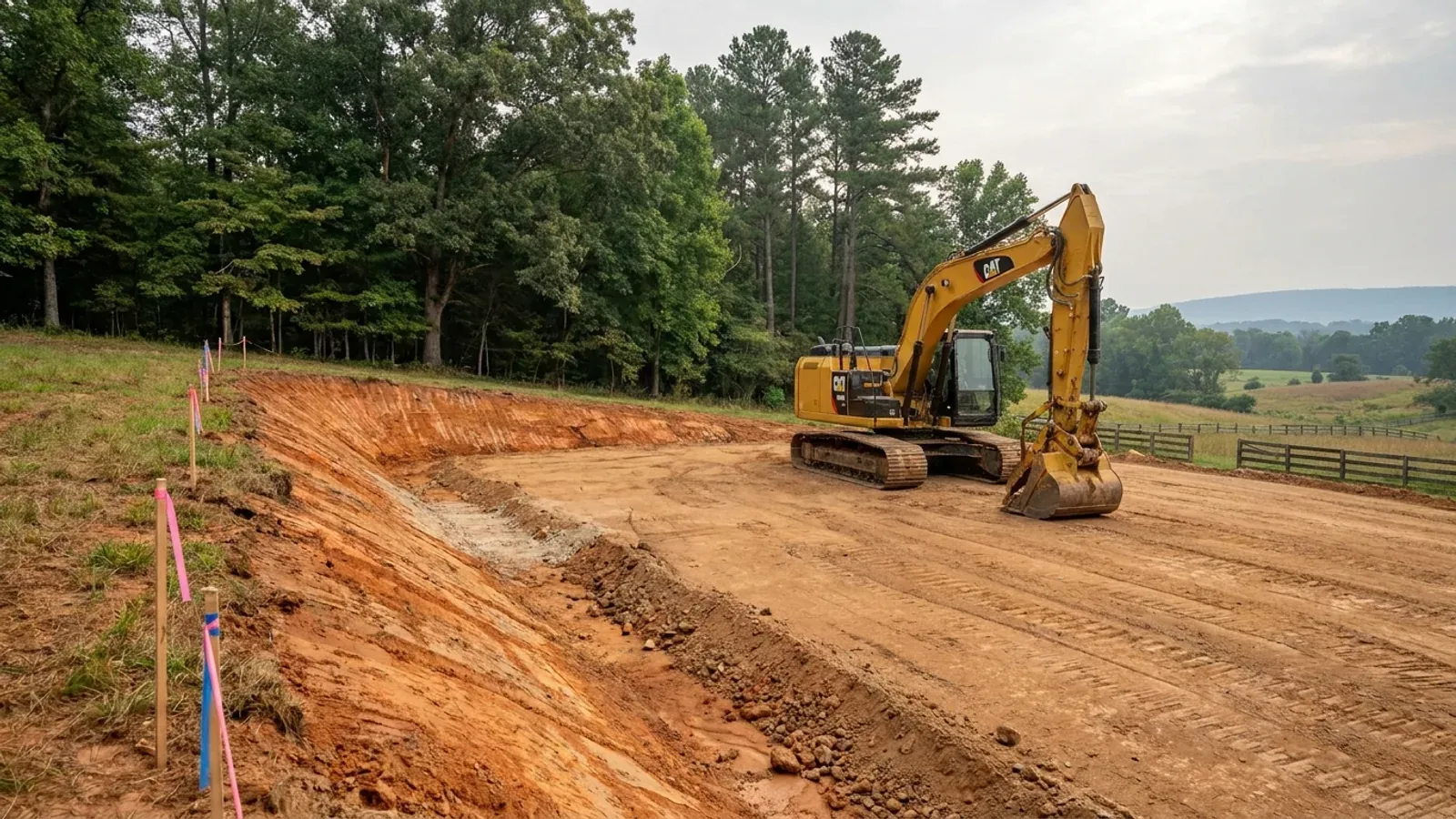
An excavator grading a compacted building pad on a cleared lot, with survey stakes, a drainage swale and a silt fence along the downhill edge.
Below the slab

The expensive surprises are in the ground, not the building

What moves a North Carolina budget is usually below grade, and the thing most often got wrong is which clay to worry about. Cecil — the red Piedmont clay everyone pictures, and the state soil — is kaolinitic and low shrink-swell; it does not heave. The soil that does is Iredell, formed over diabase and gabbro, which the USDA describes as vertic, very high shrink-swell, with a perched water table a foot or two down from December through April. The tell is colour: Cecil is red and Iredell is dark grey-brown, and they sit within a few miles of each other across the central Piedmont. West of that the question stops being clay and becomes slope, rock and colluvium; east of the fall line it becomes water, and in the Tidewater it becomes organic soil that subsides irreversibly once it is drained. Then the same ground decides the septic system, and North Carolina rewrote those rules recently enough that most of what is published about them is out of date. 15A NCAC 18E replaced the old subchapter on 1 January 2024 and was amended again on 1 June 2026: the site is classified on soil morphology — the word "percolation" does not appear anywhere in it — and there is no "provisionally suitable" any more, only suitable or unsuitable, on a single failed parameter. There is no statewide minimum lot size either; the area you need is derived from the soil result and then doubled, because a site that cannot fit both the initial field and its repair area is unsuitable. And the order matters more than people expect: the county health department's Improvement Permit and Construction Authorization come first, and the building permit is available on the strength of the Construction Authorization, not before it. One more thing that catches people: disturb more than an acre and you need an approved erosion and sedimentation control plan in hand before work starts, with penalties up to $5,000 a day, and a pad plus a drive plus a drainfield plus a laydown area crosses an acre faster than it sounds. So the site work, the foundation and the drainfield get resolved together rather than one at a time. We price the dirt before we price the building.

What a build looks like

Three stages every Lincoln County project passes through, from a raw parcel to a finished home. Site work first, because that is where the budget is decided.
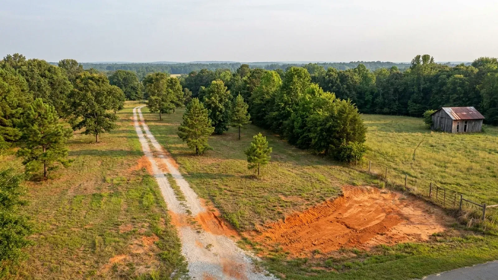
Aerial view of an undeveloped rural lot with cleared grass, a mixed oak, hickory and pine treeline, exposed red clay in one corner and a pale gravel access track.
Stage one

The parcel

Zoning, setbacks, flood zone and utility access get checked before anything is drawn.

An excavator grading a compacted building pad on a cleared lot, with survey stakes, a drainage swale and a silt fence along the downhill edge.
Stage two

Pad and permit

Clearing, grading and a compacted pad, while the septic authorization and the building submittal work through whichever offices cover your parcel.
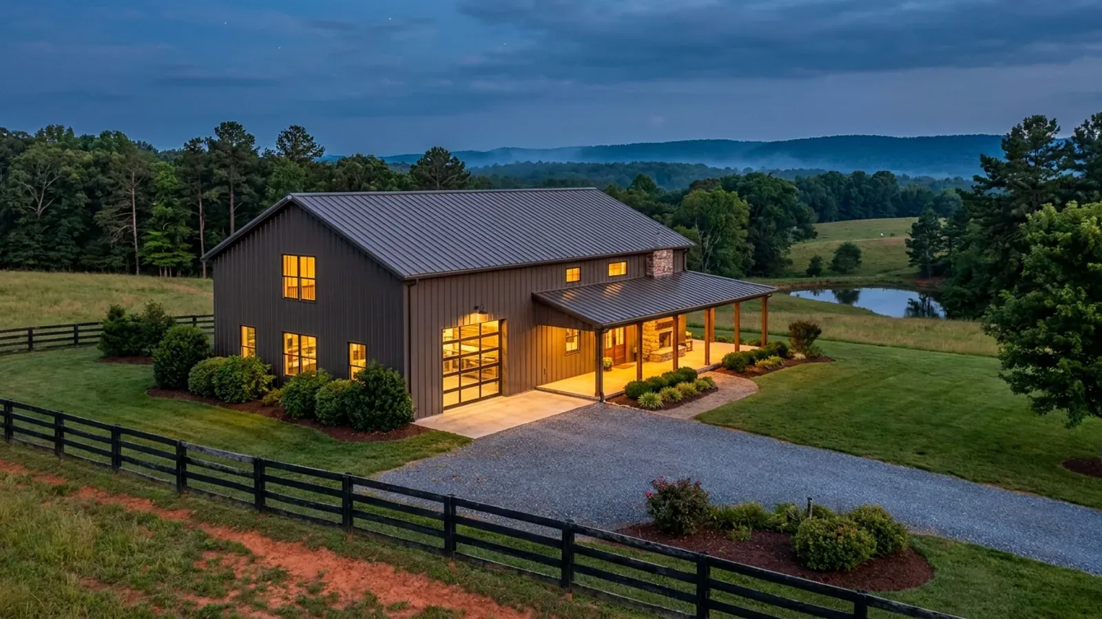
A finished barndominium at dusk with warm interior lighting glowing through its large windows.
Stage three

Frame to finish

Shell erected and dried in, then systems, insulation and interior finish through to CO.

Those are the rules where you are building in Lincoln County. Tell us what you want to build and we will draw it to them.

Where we build around Lincoln County

Lincoln County and the rural land around it. The buildable acreage for a project this size usually sits outside the town limits — which does not automatically put it under the county, because a town's zoning and building-code enforcement reach one to three miles past its limits into its extraterritorial jurisdiction. Inside the limits, in the ETJ, or in neither are three different answers to who issues your permit.

The Lincoln County service area, including the rural acreage outside the built-up edge, which is where the parcels big enough for a build like this usually sit. The map marks the territory we build in. It is not a branch location, and there is no office at this pin.

Nearby areas we build in

Others we cover nearby. Every North Carolina municipality sits inside a county — there are no independent cities here — but that does not settle who regulates a given parcel. A town's zoning, subdivision rules and building-code enforcement extend one to three miles beyond its limits, by population, into what the statute calls its extraterritorial jurisdiction; town taxes and town elections do not follow. So the office that issues the permit, what it charges and how the land is zoned can all differ from one card to the next, and the mailing address will not tell you which case you are in.

Building in Lincoln County: common questions

8 questions we get asked most often about building in Lincoln County. If yours is not on the list, ask it directly.

Which half of Lincoln County am I buying in, and why does it matter?
The eastern half runs to Lake Norman and is the growth corridor — Westport, Lowesville and Denver, all unincorporated, so Lincoln County permits and inspects there directly. The western half around and beyond Lincolnton is the agricultural half, holding most of the county's 552 farms and 49,038 farmland acres. Three things change between them. Water rules: the Catawba riparian buffer under 15A NCAC 02B .0614(7) reaches the mainstem lakes at full pond level and nothing else, so it applies on the eastern shoreline and not to western creeks. Authority: an eastern lakeside parcel is county-permitted because there is no town, while a western parcel near Lincolnton can sit inside a municipality's extraterritorial jurisdiction. And land: the acreage and the price are on the western side. The parcel's location decides all three before any design question comes up.
How much land do I need for a barndominium in Lincoln County?
In the R-R Rural Residential district the zoning minimum is 43,560 square feet — one acre — and Lincoln prints that same figure whether or not public water and sewer are available, which is unusual. Lot width is 100 feet, with a 30-foot road yard, 10-foot interior side yard, 20 feet of side yard total, and a 40-foot rear yard, under a 35-foot height cap with 35 percent building coverage and 50 percent impervious surface allowed. That height cap is worth checking early against a tall shop bay. But the zoning acre is often not the binding number: 15A NCAC 18E .0508 makes a site unsuitable if it cannot fit both the initial septic dispersal field and a full repair area with every setback met, and on slow Piedmont clay those two together can want more land than the ordinance does.
Who issues my permit — the county, or Lincolnton?
Lincoln County Planning and Inspections at 115 West Main Street in Lincolnton handles unincorporated land, which includes the whole Lake Norman corridor, because Westport, Lowesville and Denver are census designated places with no municipal government. Inside Lincolnton's limits, or inside any municipality's extraterritorial jurisdiction under G.S. 160D-202, that municipality's zoning, subdivision rules and building-code enforcement apply instead. ETJ reach depends on city population — one mile under 10,000 people, two miles from 10,000 to 24,999, three miles at 25,000 or more, measured from the contiguous corporate boundary. The odd part is that ETJ land is not taxed by the city and its residents cannot vote in city elections, so a buyer can be regulated by a council they have no vote on. The boundary is recorded with the register of deeds and shown on the city's official zoning map.
What does the county charge for a barndominium permit here?
On the FY 2025-2026 schedule, new single-family residential construction is billed as four permits: $0.35 per square foot for the building permit with a $100 minimum, plus $0.05 per square foot each for the electrical, mechanical and plumbing permits with $75 minimums — $0.50 per square foot altogether. A separate line covers accessory buildings, renovations, moved homes and decks at $0.15 per square foot. There is a $100 residential zoning permit as well, and a $200 development permit where the Flood Damage Prevention Ordinance applies. The schedule does not define whether the residential square footage is heated area or gross area under roof, so ask the department for a specific building — the commercial table on the same document does define its own basis as total gross floor area, and the residential line simply does not say. Septic and wells are Environmental Health's schedule, on the same document: $200 for the Improvement Permit, $300 for the Authorization to Construct, $50 for the Operational Permit, $350 for a well.
Can I use my own soil scientist instead of waiting on the health department?
Yes, and Lincoln prices that route explicitly. The county charges $35.00 for an Engineered Option Permit, and $35.00 for a Notice of Intent under the Authorized On-Site Wastewater Evaluator route — an evaluator being a licensed soil scientist or licensed geologist holding the state's septic design certification. The schedule states that in both cases the applicant may proceed directly to Planning and Inspections once Environmental Health has received the signed copy. Under the state rules at 15A NCAC 18E .0207 the local health department then has a defined window of 15 business days to act. Whether that is the right route depends on the site: it costs more in professional fees and buys speed and control, and on a difficult soil it may be the only practical way to get a system designed at all.
Does the lake buffer stop me building?
Only within 50 feet of the water, and only where the rule reaches. The Catawba buffer is 50 feet in two zones — 30 feet of undisturbed vegetation nearest the water and 20 feet of stable vegetation outside it — measured from full pond level on the mainstem lakes. Zone 2 has some give: grading and revegetating it is allowed provided Zone 1's vegetation is not compromised. Zone 1 does not. The rule applies along the Catawba mainstem below Lake James and along the mainstem lakes, so it is a shoreline rule, not a basin-wide one. Separately, where a blue line appears on a stream layer of the NRCS soil survey map or the USGS National Map in a buffered basin, that map line creates the buffer even if nothing is visible on the ground — and a landowner who thinks the map is wrong can request an on-site determination, which is good for five years and can release a farm ditch, an ephemeral draw or an unconnected pond.
What are Lincoln County's design numbers?
Lincoln is not listed in Table R301.2(4) of the 2018 NC Residential Code, so it takes the unlisted default ultimate design wind speed of 115 mph — the code's floor, and the same figure as most of the Piedmont. It is not among the thirteen counties Table R301.2(7) places in Seismic Design Category C, which puts it in A or B. Applying here as everywhere in the state: a flat 20 psf roof live load, a 12-inch frost line depth, Moderate weathering, and termite protection required in all of North Carolina at a Moderate-Heavy severity. There is no ground snow load column in the code — Section R301.2.3 is deleted — and Section R403.3 frost-protected shallow foundations is deleted as well, so insulating instead of digging is not an option here.
Do I need an engineer, and does a steel building avoid termite treatment?
An engineer, usually yes. Section R301.1.2 requires framing systems outside the code's prescriptive scope to demonstrate equivalent detailing, and while § 83A-13(c)(1) exempts a family residence from the architect requirement, § 89C-25 has no equivalent residential carve-out for engineering. So a post-frame or steel-framed barndominium here is normally sealed by a professional engineer licensed in North Carolina. Termite treatment, no: the model IRC lets cold-formed steel framing satisfy termite protection, and North Carolina deleted that option from R318.1 along with physical barriers. A steel building here still needs chemical treatment, a baiting system, pressure-preservative-treated wood or naturally durable wood.

Building in Lincoln County?

Start with the plan. Tell us what you want to build and we will draw it, then confirm which office issues the permit for your parcel, what it will let you put there, and what wind load it has to meet. That conversation costs nothing.